Yellow Mule Cabin Trail
- 0.4 mi
- round trip
- 253 ft
- climb
- 9,429 ft
- high point
- Out and back
- route
Is Yellow Mule Cabin Trail open right now?
Closure in the area
There's a closure order in Custer Gallatin National Forest. It doesn't name Yellow Mule Cabin Trail, so check the source for the area it covers (12 listed).
NFSR #1700 South Plateau Road Closure
Agency closure covering Custer Gallatin National Forest · USFS · Custer Gallatin National Forest
Hyalite Porcupine Buffalo Horn Summer Interim Travel Order and Map and Order # 01-11-00-26-02
Agency closure covering Custer Gallatin National Forest · Order 01-11-00-26-02 · USFS · Custer Gallatin National Forest
Hyalite Porcupine Buffalo Horn Winter Interim Travel Order and Map Order Number: #01-11-00-26-01
Agency closure covering Custer Gallatin National Forest · USFS · Custer Gallatin National Forest
Glacier Lake Road #2421 Closure Order Number: # 01-11-82-26- 01
Agency closure covering Custer Gallatin National Forest · Order 01-11-82-26- · USFS · Custer Gallatin National Forest
McConnell River Fishing Access
Agency closure covering Custer Gallatin National Forest · Order 01-11-22-03-22-01 · USFS · Custer Gallatin National Forest
As of · Source: USFS · Custer Gallatin National Forest. Agencies don't list every closure — check before you go.
Yellow Mule Cabin Trail is a short, easy hike in Montana's Custer Gallatin National Forest, managed by the Forest Service. The trail is about 0.4 miles long and sits at roughly 9,400 feet, with a high point of 9,429 feet and a low of 9,197 feet. It is an out-and-back route, and the climb is back-loaded, meaning the steepest stretch comes near the end of the return leg. The steepest grade is about 15%, and the total elevation gain and loss for the round trip are each about 250 feet. The trail makes a natural pairing with Yellow Mule Cabin, which is about 0.3 miles away. Buck Ridge and Cinnamon Buck Trail are both within a mile, and Bear Creek Cabin is about 7 miles off.
Local outfitters
- Yellowstone Safari Company40 mi away
Not on Roamze yet. Their page has how to reach them.
- Yellow Mule CabinCamping0.3 mi
- Buck RidgeHiking0.9 mi
- Cinnamon Buck TrailHiking1 mi
- Bear Creek Cabin (Beaverhead-Deerlodge National Forest, MT)Camping6.8 mi
- Buck CreekRock climbing8.1 mi
- Calcite CornerRock climbing8.2 mi
- West Fork Gallatin RiverCanoeing8.8 mi
- Taylor CreekCanoeing9.4 mi
Source: Roamze catalog (indexable pages within 10 miles, PostGIS distance)
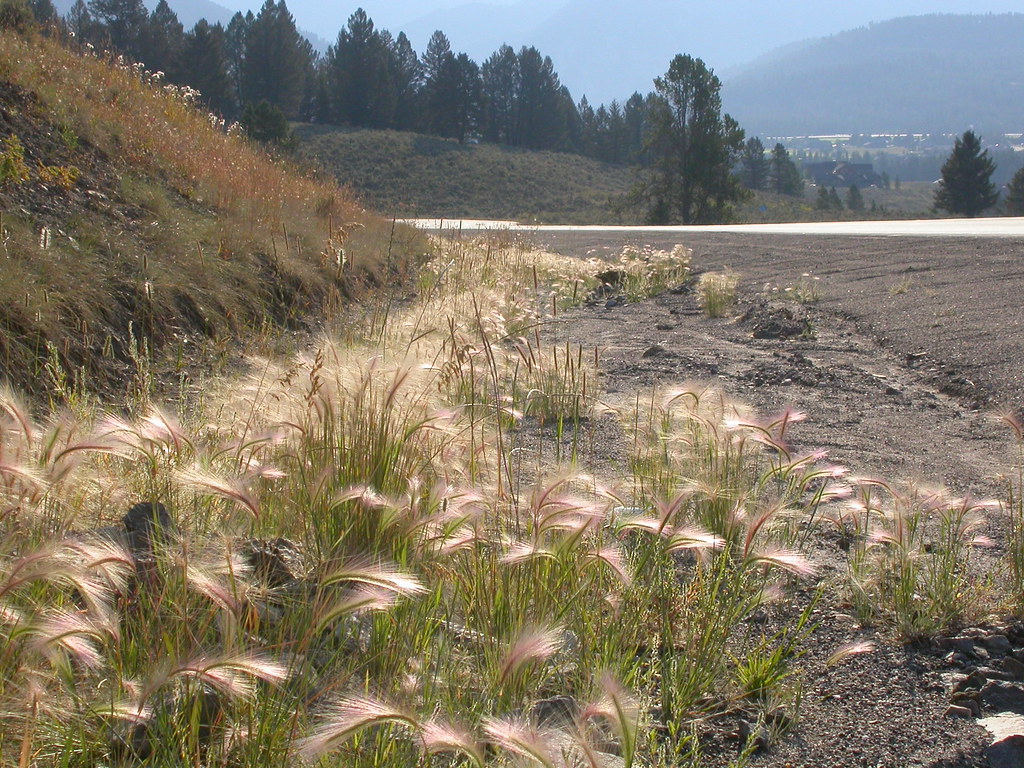 Powder Crest TrailHiking · ~11 min drivePhoto: Matt Lavin, CC BY-SA 2.0 (via Flickr)
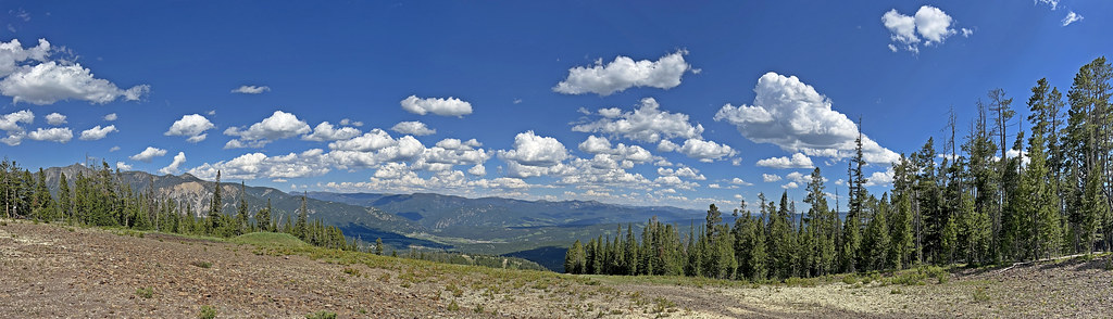 CoolridgeHiking · ~12 min drivePhoto: Monica's Dad, CC BY 2.0 (via Flickr)
 Uplands TrailHiking · ~12 min drivePhoto: Bas van Oorschot, CC BY-SA 3.0 (via Wikimedia Commons)
- Sphinx Mountain TrailHiking · ~10 min drive
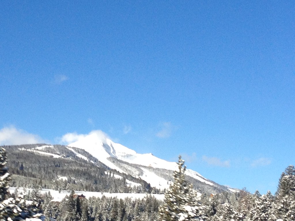 Mountain to MeadowHiking · ~12 min drivePhoto: senatortester, Public Domain Mark (via Flickr)
- Mountain to MeadowHiking · ~11 min drivePhoto: Monica's Dad, CC BY 2.0 (via Flickr)
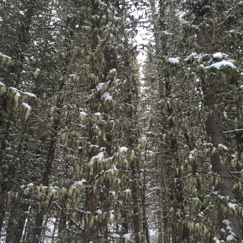 Lodge LoopHiking · ~14 min drivePhoto: schvin, CC BY 2.0 (via Flickr)
- Bear Creek TrailHiking · ~12 min drive
 Elkhorn LoopHiking · ~14 min drivePhoto: schvin, CC BY 2.0 (via Flickr)
- Cinnamon Buck TrailHiking · ~2 min drive
Also worth it near here


Map and trail data © OpenStreetMap contributors
