Buck Ridge
- 3.6 mi
- round trip
- 2,076 ft
- climb
- 9,273 ft
- high point
- Out and back
- route
Caution at last check
Agency alerts are in effect for this area; weather is good · USFS, OpenWeather · checked 22 h ago
Is Buck Ridge open right now?
Closure in the area
There's a closure order in Custer Gallatin National Forest. It doesn't name Buck Ridge, so check the source for the area it covers (12 listed).
NFSR #1700 South Plateau Road Closure
Agency closure covering Custer Gallatin National Forest · USFS · Custer Gallatin National Forest
Hyalite Porcupine Buffalo Horn Summer Interim Travel Order and Map and Order # 01-11-00-26-02
Agency closure covering Custer Gallatin National Forest · Order 01-11-00-26-02 · USFS · Custer Gallatin National Forest
Hyalite Porcupine Buffalo Horn Winter Interim Travel Order and Map Order Number: #01-11-00-26-01
Agency closure covering Custer Gallatin National Forest · USFS · Custer Gallatin National Forest
Glacier Lake Road #2421 Closure Order Number: # 01-11-82-26- 01
Agency closure covering Custer Gallatin National Forest · Order 01-11-82-26- · USFS · Custer Gallatin National Forest
McConnell River Fishing Access
Agency closure covering Custer Gallatin National Forest · Order 01-11-22-03-22-01 · USFS · Custer Gallatin National Forest
As of · Source: USFS · Custer Gallatin National Forest. Agencies don't list every closure — check before you go.
Buck Ridge is a moderate hike in the Custer Gallatin National Forest in Montana, about 3.6 miles long with a total elevation gain of 2,076 feet. The trail is an out-and-back, and the climb is steepest near the start, with a grade of about 18% at 0.19 miles. The route reaches a high point of about 9,273 feet and a low of about 8,267 feet. The trail is on natural surface, and both horses and bikes are allowed. The Forest Service manages the land. For a longer outing, Inspiration Divide lies about 0.6 miles away, and the Yellow Mule Cabin Trail and Yellow Mule Cabin are each about 0.9 miles off. Bear Creek Cabin, on the Beaverhead-Deerlodge National Forest, is about 6 miles away.
Local outfitters
- Yellowstone Safari Company40 mi away
Not on Roamze yet. Their page has how to reach them.
- Inspiration DivideHiking0.6 mi
- Yellow Mule Cabin TrailHiking0.9 mi
- Yellow Mule CabinCamping0.9 mi
- Bear Creek Cabin (Beaverhead-Deerlodge National Forest, MT)Camping6.1 mi
- Buck CreekRock climbing9 mi
- Calcite CornerRock climbing9.1 mi
- West Fork Gallatin RiverCanoeing9.3 mi
- Taylor CreekCanoeing9.9 mi
Source: Roamze catalog (indexable pages within 10 miles, PostGIS distance)
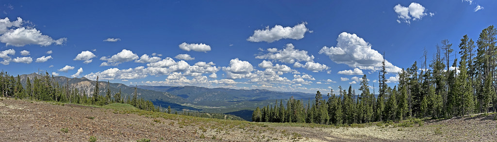 Mountain to MeadowHiking · ~11 min drivePhoto: Monica's Dad, CC BY 2.0 (via Flickr)
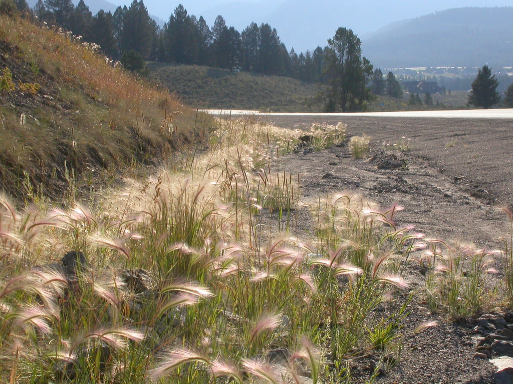 Powder Crest TrailHiking · ~11 min drivePhoto: Matt Lavin, CC BY-SA 2.0 (via Flickr)
 Uplands TrailHiking · ~13 min drivePhoto: Bas van Oorschot, CC BY-SA 3.0 (via Wikimedia Commons)
- Sphinx Mountain TrailHiking · ~8 min drive
- CoolridgeHiking · ~12 min drivePhoto: Monica's Dad, CC BY 2.0 (via Flickr)
 Mountain to MeadowHiking · ~13 min drivePhoto: senatortester, Public Domain Mark (via Flickr)
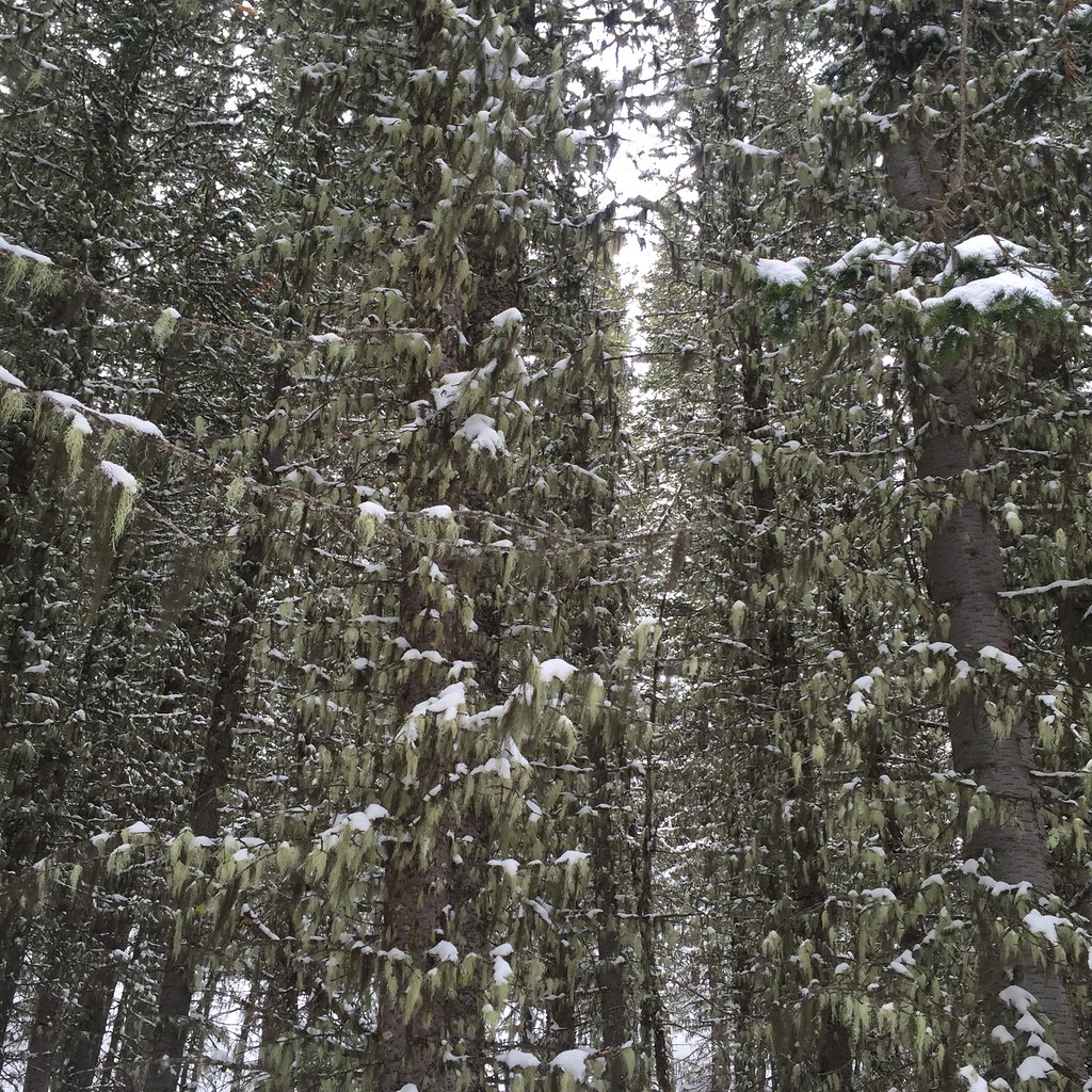 Lodge LoopHiking · ~14 min drivePhoto: schvin, CC BY 2.0 (via Flickr)
- Bear Creek TrailHiking · ~10 min drive
- Inspiration DivideHiking · ~1 min drive
 Elkhorn LoopHiking · ~13 min drivePhoto: schvin, CC BY 2.0 (via Flickr)

