West Fork Clearwater River
- 14.3 mi
- round trip
- 1,909 ft
- climb
- 6,539 ft
- high point
- Out and back
- route
Is West Fork Clearwater River open right now?
Alert in the area
The Forest Service lists an alert for Lolo National Forest.
East Fork Big Creek Road & Trail Closure- Superior Ranger District
Agency alert covering Lolo National Forest · Order 26-003- · USFS · Lolo National Forest
As of · Source: USFS · Lolo National Forest. Agencies don't list every closure — check before you go.
The West Fork Clearwater River hike is a 14.3-mile out-and-back route in Montana's Seeley Lake Ranger District of the Lolo National Forest, within the Marshall Creek Wildlife Management Area. The trail rises from about 4,627 feet to a high point of 6,539 feet, with a total elevation gain of 1,909 feet. The land is managed by State Fish and Wildlife, and the route is rated hard. The trail is natural-surfaced and open year-round. Bikes and horses are both allowed, so it works for riders and pack animals as well as hikers. Lake Alva Campground Complex and Lakeside Campground (Old Alva) sit about 2 miles away, and the Colt Creek and Rainy Lake West hikes are also within 2 miles. Paddlers can reach the Clearwater River about 2.7 miles off.
Local outfitters
- Granite Peak RV Resort34 mi away
Not on Roamze yet. Their page has how to reach them.
Keep exploring — more trails worth the drive
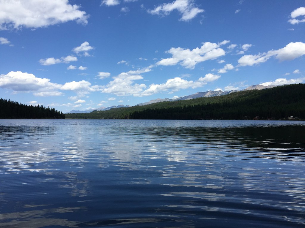 Photo: lumachrome, CC BY-SA 2.0 (via Flickr)
LAKE INEZ HOOKUP
~5 min drive
4.9-mile out-and-back trail with 684 ft elevation gain and loss in Montana.
Photo: lumachrome, CC BY-SA 2.0 (via Flickr)CAMP CR.- RICE RIDGE
~7 min drive
7.92-mile out-and-back trail in Montana with 2,856 ft elevation gain and loss.
HIKE
COLT CREEK
~3 min drive
31.58-mile out-and-back trail in Montana with 2,898 ft elevation gain and loss.
HIKE
NORTH CLEARWATER LOOP
~6 min drive
9.76-mile out-and-back out-and-back in Montana with 1,561 ft elevation gain/loss.
HIKE
RAINY LAKE WEST
~4 min drive
1.38-mile out-and-back trail with 392 ft gain at 4,174 ft elevation in Montana
HIKE
Mount Henry
~7 min drive
11.87-mile out-and-back trail to Mount Henry in Montana with 1,992 ft of gain.
HIKE
LAKE ELSINA
~9 min drive
22.7-mile out-and-back to Lake Elsina in Montana with 2,839 ft gain
HIKE
SOUTH CLEARWATER LOOP
~8 min drive
6.18-mile out-and-back trail in Montana with 1,262 ft elevation gain
HIKE
Rainy Lake East
~4 min drive
1.16-mile out-and-back trail to Rainy Lake in Montana with minimal elevation gain.
HIKE
FINDELL CUTOFF
~7 min drive
7.56-mile out-and-back trail in Montana with 3,257 ft elevation gain

