Whitefish RV Park
Campground
Campground · 1.2 mi from the trail
West 93 Shared Use Path is a short, easy walk in Whitefish, Montana, about 0.3 miles from the town center. The route is an out-and-back that covers roughly 1.5 miles, with a total elevation gain of about 120 feet. The climb is front-loaded, with the steepest stretch at about 0.47 miles, and the path reaches a high point of 3,094 feet before returning to its starting elevation of 3,005 feet. Summer is the most comfortable time to go. Typical averages from a nearby weather station in Whitefish show July highs around 81°F with lows near 50°F, while winter brings highs in the upper 20s and regular snow days from December through February. The walk takes about half an hour, and it pairs easily with other paths in town. Fish Trails Bike and Pedestrian Path is about 0.3 miles away, and Colorado Ave Shared Use Path and Dakota Ave Shared Use Path are each within half a mile. For a longer outing, the Whitefish Trail - Lion Mountain section is about 1.9 miles off.
Whitefish RV Park
Campground
Plantiful
Vegan restaurant
Dick Idol Signature Gallery
Gallery
Places © OpenStreetMap contributors, Places © Overture Maps Foundation
More in WhitefishNot on Roamze yet. Their page has how to reach them.
 Dakota Ave Shared Use PathHikingPhoto: cjennr76, CC BY 2.0 (via Flickr)0.5 mi
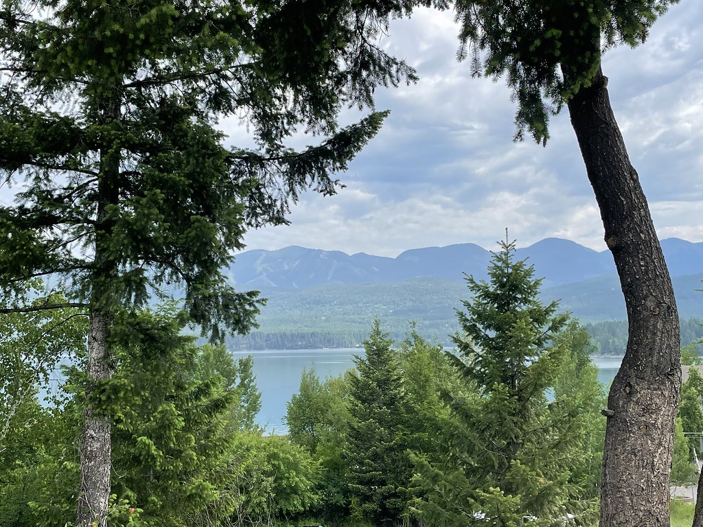 State Park Shared Use PathHikingPhoto: cjennr76, CC BY 2.0 (via Flickr)1.1 mi
Source: Roamze catalog (indexable pages within 10 miles, PostGIS distance)
Fish Trails Bike and Pedestrian PathHiking · Next doorPhoto: cjennr76, CC BY 2.0 (via Flickr) Reservoir TrailHiking · ~7 min drivePhoto: jasonwoodhead23, CC BY 2.0 (via Flickr)
 Runaway TrainHiking · ~11 min drivePhoto: Donnie Clapp for Whitefish Mountain Resort, CC BY-SA 4.0 (via Wikimedia Commons)
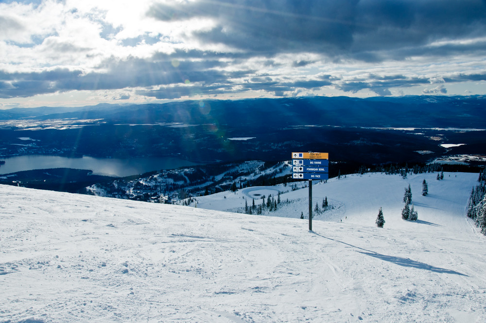 FreebirdHiking · ~11 min drivePhoto: Slipshod Photog, CC BY 2.0 (via Flickr)Dakota Ave Shared Use PathHiking · Next doorPhoto: cjennr76, CC BY 2.0 (via Flickr)KashmirHiking · ~11 min drivePhoto: Donnie Clapp for Whitefish Mountain Resort, CC BY-SA 4.0 (via Wikimedia Commons)State Park Shared Use PathHiking · ~2 min drivePhoto: cjennr76, CC BY 2.0 (via Flickr)
Best months: May and July–September. Best months have typical highs of 55–85 °F, lows of 30 °F or warmer (32 °F where the station doesn't record snow), at most one snowy day and no more than 12 wet days.
Jan
29° / 16°
12 wet · 9 snow
Feb
34° / 16°
9 wet · 6 snow
Mar
43° / 23°
10 wet · 4 snow
Apr
53° / 30°
10 wet · 1 snow
May
63° / 39°
12 wet
Jun
70° / 45°
13 wet
Jul
81° / 50°
8 wet
Aug
80° / 48°
7 wet
Sep
69° / 40°
7 wet
Oct
53° / 31°
9 wet · 1 snow
Nov
38° / 24°
10 wet · 4 snow
Dec
29° / 18°
12 wet · 9 snow
Typical high / low (°F) and days with rain or snow, 1991–2020. Measured at Whitefish, MT, 0.8 mi away at 3,100 ft. Source: NOAA NCEI U.S. Climate Normals 1991–2020.
Map and trail data © OpenStreetMap contributors
