Holbrook-2
Campground
Campground · 0.8 mi from the trail
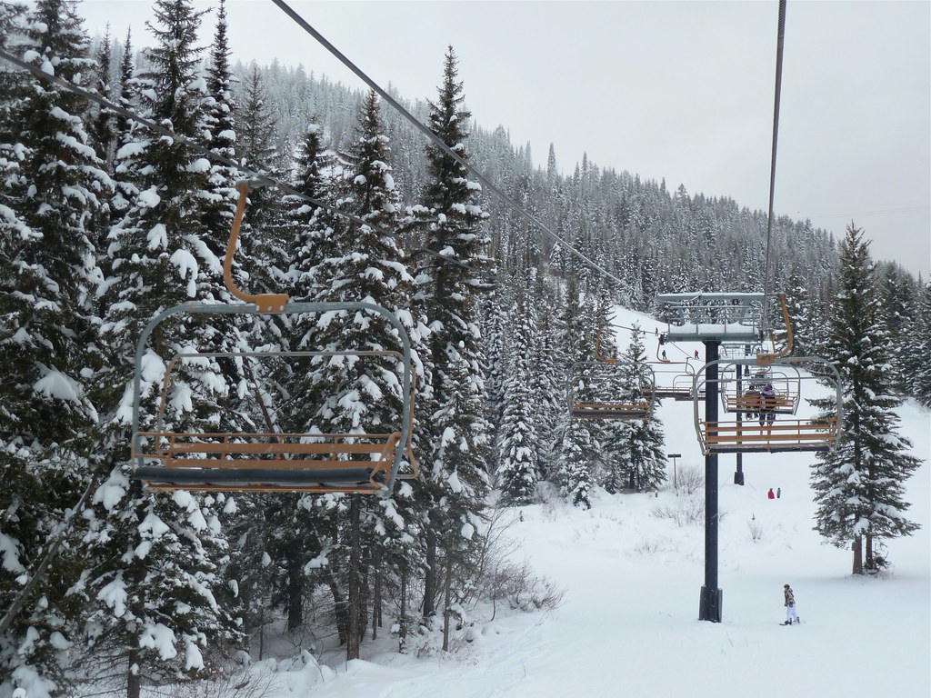
Chair 6 Base Lodge is a short, out-and-back ski touring route in Montana, set about 2.3 miles from the town of Vista. The climb is just under half a mile long, with a total gain of 189 feet from the low point at 4,476 feet to the high point at 4,683 feet. The route is front-loaded, meaning most of the ascent happens early, and the steepest stretch comes at about 0.11 miles in, with a 20% grade. Summer is the most comfortable time to visit. Typical averages from the nearby Whitefish weather station, which sits well below the lodge, show July highs around 81°F with lows near 50°F, while winter brings highs in the upper 20s and frequent snow days. Whitefish Mountain Resort lies about 0.8 miles away, and Chair 3 Tenderfoot is about 0.4 miles off. The Journey Trail and the Bob Cedar Trail, both hikes, are each roughly 0.7 miles from the lodge.
Holbrook-2
Campground
Places © OpenStreetMap contributors
More in WhitefishNot on Roamze yet. Their page has how to reach them.
 Journey TrailHikingPhoto: jasonwoodhead23, CC BY 2.0 (via Flickr)0.7 miBob Cedar TrailHikingPhoto: jasonwoodhead23, CC BY 2.0 (via Flickr)0.7 mi
 Arnica Ridge TrailHikingPhoto: roy.luck, CC BY 2.0 (via Flickr)0.7 mi
Source: Roamze catalog (indexable pages within 10 miles, PostGIS distance)
Best months: May and July–September. Best months have typical highs of 55–85 °F, lows of 30 °F or warmer (32 °F where the station doesn't record snow), at most one snowy day and no more than 12 wet days.
Jan
29° / 16°
12 wet · 9 snow
Feb
34° / 16°
9 wet · 6 snow
Mar
43° / 23°
10 wet · 4 snow
Apr
53° / 30°
10 wet · 1 snow
May
63° / 39°
12 wet
Jun
70° / 45°
13 wet
Jul
81° / 50°
8 wet
Aug
80° / 48°
7 wet
Sep
69° / 40°
7 wet
Oct
53° / 31°
9 wet · 1 snow
Nov
38° / 24°
10 wet · 4 snow
Dec
29° / 18°
12 wet · 9 snow
Typical high / low (°F) and days with rain or snow, 1991–2020. Measured at Whitefish, MT, 5 mi away at 3,100 ft. The station sits about 1,600 ft lower than this place, so expect it a little cooler here. Source: NOAA NCEI U.S. Climate Normals 1991–2020.
Map and trail data © OpenStreetMap contributors
