Warland Peak Lookout
- 3.4 mi
- round trip
- 747 ft
- climb
- 5,939 ft
- high point
- Out and back
- route
Is Warland Peak Lookout open right now?
Closure in the area
There's a closure order in Kootenai National Forest. It doesn't name Warland Peak Lookout, so check the source for the area it covers.
Kootenai Flood Event & Inaccessible Areas
Agency closure covering Kootenai National Forest · USFS · Kootenai National Forest
Updated Skillet Fire Area, Road, Trail Closure
Agency alert covering Kootenai National Forest · Order 01-10- · USFS · Kootenai National Forest
Trail Advisory-Alexander Mountain Trail near Timber Harvest Activities
Agency alert covering Libby Ranger District · USFS · Libby Ranger District
Timberlane Campground Closure
Agency alert covering Libby Ranger District · Order 01-14-05-26-03 · USFS · Libby Ranger District
As of · Source: USFS · Kootenai National Forest. Agencies don't list every closure — check before you go.
Warland Peak Lookout is a moderate hike of about 3.4 miles on an out-and-back route in the Libby Ranger District of Montana's Kootenai National Forest. The trail rises from about 5,162 feet to about 5,939 feet, a climb of roughly 750 feet one way, and the Forest Service manages the land. The trail is natural-surfaced and allows bikes, so it works for hikers and riders alike. The climb is steady rather than steep, and the route is short enough to fit into a day of exploring the surrounding area. Two other hikes, South Fork Fivemile and Boundary Mountain, both lie about 2.8 miles away. For an overnight stay, Cripple Cripple Horse Meadow Site 5 is about 4.2 miles off, and McGillivray Campground is about 8 miles away.
Local outfitters
- Indian Springs Montana31 mi away
- Kootenai River Campground36 mi away
Not on Roamze yet. Their page has how to reach them.
Conditions and forecast on Warland Peak
Daily highs and lows, wind and the chance of precipitation at the summit and route start for the next 7 days, from the Open-Meteo model.
- South Fork FivemileHiking2.8 mi
- Boundary MountainHiking2.8 mi
- Cripple Cripple Horse Meadow Site 5Camping4.2 mi
- Canyon DivideHiking4.3 mi
- Cripple Cripple Horse Meadow Site 4Camping4.3 mi
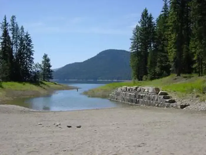 McGillivray Campground (MT)CampingPhoto: Recreation.gov (RIDB) / public domain8 mi
- Barron Creek Boating SiteRiver fishing8 mi
- Fisher River AreaRiver fishing9.7 mi
Source: Roamze catalog (indexable pages within 10 miles, PostGIS distance)
- South Fork FivemileHiking · ~5 min drive
- Boundary MountainHiking · ~5 min drive
- Canyon DivideHiking · ~7 min drive
- CANYON DIVIDEHiking · ~10 min drive
- Davis CreekHiking · ~10 min drive
- Warland RidgeHiking · ~8 min drive
- Elk PatrolHiking · ~14 min drive
- Yarnell IslandHiking · ~14 min drive
- Blackfoot Divide (Grimm Mdow)Hiking · ~9 min drive
- ZIEGLER MOUNTAINHiking · ~15 min drive
Route details
- Distance
- 3.4 mi round trip
- Climbing
- About 747 ft
- Starts at
- WARLAND PEAK LO TH 280 (about 5,162 ft)
- Summit
- 5,954 ft
- Difficulty
- Moderate
- Time
- About 1.5 hours
Getting there
Park at WARLAND PEAK LO TH 280.
Questions about this route
How long is the Warland Peak Lookout on Warland Peak?
About 3.4 mi round trip from WARLAND PEAK LO TH 280 (about 5,162 ft).
How much elevation gain is on the Warland Peak Lookout?
About 747 ft of climbing round trip.
How hard is the Warland Peak Lookout?
It is rated moderate.
Where does the Warland Peak Lookout start?
WARLAND PEAK LO TH 280 (about 5,162 ft).
How long does the Warland Peak Lookout take?
About 1.5 hours round trip.
