Teepee Creek
- 2.5 mi
- round trip
- 626 ft
- climb
- 9,488 ft
- high point
- Out and back
- route
Is TEEPEE CREEK open right now?
Closure in the area
There's a closure order in Beaverhead-Deerlodge National Forest. It doesn't name TEEPEE CREEK, so check the source for the area it covers (2 listed).
Annual Food Storage Order
Agency closure covering Beaverhead-Deerlodge National Forest · Order 02-00-22-02 · USFS · Beaverhead-Deerlodge National Forest
Pallet Prohibition Order Butte Ranger District
Agency closure covering Beaverhead-Deerlodge National Forest · Order 01020425-01 · USFS · Beaverhead-Deerlodge National Forest
Lost Creek Area - Road Closure
Agency alert covering Beaverhead-Deerlodge National Forest · USFS · Beaverhead-Deerlodge National Forest
Montana BDR Alternative Route
Agency alert covering Beaverhead-Deerlodge National Forest · USFS · Beaverhead-Deerlodge National Forest
Lost Creek Area - Road Closure
Agency alert covering Beaverhead-Deerlodge National Forest · Order 01020826-02 · USFS · Beaverhead-Deerlodge National Forest
As of · Source: USFS · Beaverhead-Deerlodge National Forest. Agencies don't list every closure — check before you go.
Teepee Creek is an easy out-and-back hike in the Madison Ranger District of the Beaverhead-Deerlodge National Forest in southwest Montana, about 10 miles from the small community of Grahams Place. The route is roughly 5 miles long, with a total elevation gain of about 626 feet, and it is back-loaded, meaning the climb comes in the second half of the trip. The hike starts at an elevation of about 9,453 feet and reaches a high point of about 9,488 feet. The steepest stretch is near the beginning, with a grade of about 14 percent at about 0.22 miles in. The trail is rated easy, and the round trip takes about two hours. Portal Creek lies about a mile away, and the West Fork Madison River offers canoeing about 3 miles off. Freezeout Mountain is about 4 miles away, and the West Fork Cabin (s of Ennis) campground is just under 6 miles from the trail.
Conditions and forecast on Lobo Mesa
Daily highs and lows, wind and the chance of precipitation at the summit and route start for the next 7 days, from the Open-Meteo model.
- PORTAL CREEKHiking1.1 mi
- West Fork Madison RiverCanoeing3.1 mi
- FREEZEOUT MOUNTAINHiking4.2 mi
- FS 6700Mountain biking5.5 mi
- BARNETT TRAILHiking5.8 mi
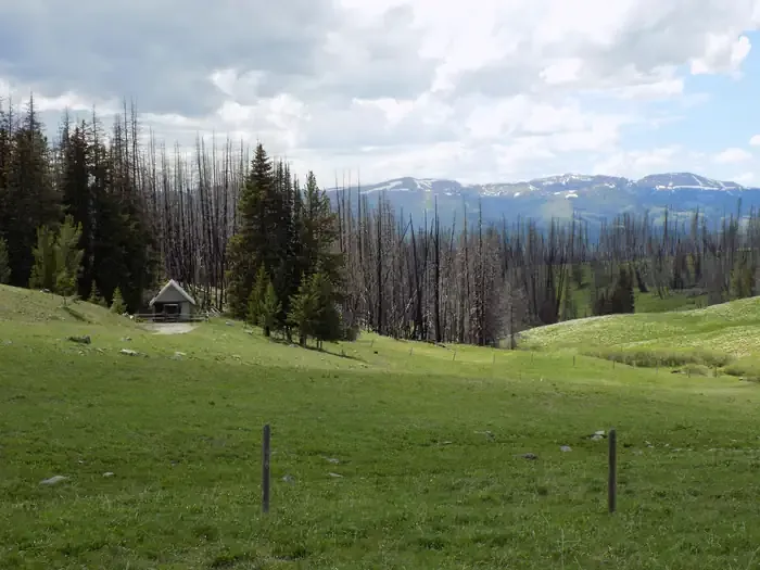 West Fork Cabin (s of Ennis)CampingPhoto: Recreation.gov (RIDB) / public domain5.9 mi
- Black Butte CabinCamping8.2 mi
- West Fork Corridor/Smith Lake & Soap CreekCamping9.8 mi
Source: Roamze catalog (indexable pages within 10 miles, PostGIS distance)
 Papoose Creek TrailHiking · ~20 min drivePhoto: Jon Roanhaus, CC BY-SA 4.0 (via Wikimedia Commons)
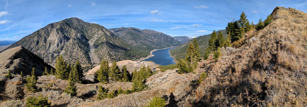 Sheep LakeHiking · ~29 min drivePhoto: Forest Service - Northern Region, Public Domain Mark (via Flickr)
- PORTAL CREEKHiking · ~2 min drive
- STANDARD CREEKHiking · ~10 min drive
- FREEZEOUT MOUNTAINHiking · ~7 min drive
- CASCADE MOUNTAINHiking · ~10 min drive
- BARNETT TRAILHiking · ~10 min drive
- REBISH CUTOFFHiking · ~12 min drive
- POISON CREEKHiking · ~18 min drive
- CLIFF LAKE BENCHHiking · ~17 min drive
Route details
- Distance
- 2.5 mi round trip
- Climbing
- About 626 ft
- Summit
- 9,501 ft
- Difficulty
- Easy
- Time
- About 1 hour
Questions about this route
How long is the TEEPEE CREEK on Lobo Mesa?
About 2.5 mi round trip.
How much elevation gain is on the TEEPEE CREEK?
About 626 ft of climbing round trip.
How hard is the TEEPEE CREEK?
It is rated easy.
How long does the TEEPEE CREEK take?
About 1 hour round trip.
