Portal Creek
- 1.9 mi
- round trip
- 967 ft
- climb
- 9,377 ft
- high point
- Out and back
- route
Is PORTAL CREEK open right now?
Closure in the area
There's a closure order in Beaverhead-Deerlodge National Forest. It doesn't name PORTAL CREEK, so check the source for the area it covers (2 listed).
Annual Food Storage Order
Agency closure covering Beaverhead-Deerlodge National Forest · Order 02-00-22-02 · USFS · Beaverhead-Deerlodge National Forest
Pallet Prohibition Order Butte Ranger District
Agency closure covering Beaverhead-Deerlodge National Forest · Order 01020425-01 · USFS · Beaverhead-Deerlodge National Forest
Lost Creek Area - Road Closure
Agency alert covering Beaverhead-Deerlodge National Forest · USFS · Beaverhead-Deerlodge National Forest
Montana BDR Alternative Route
Agency alert covering Beaverhead-Deerlodge National Forest · USFS · Beaverhead-Deerlodge National Forest
Lost Creek Area - Road Closure
Agency alert covering Beaverhead-Deerlodge National Forest · Order 01020826-02 · USFS · Beaverhead-Deerlodge National Forest
As of · Source: USFS · Beaverhead-Deerlodge National Forest. Agencies don't list every closure — check before you go.
Portal Creek is an easy out-and-back hike in the Madison Ranger District of the Beaverhead-Deerlodge National Forest in southwest Montana, managed by the Forest Service. The trail is about 3.7 miles long, with a total climb of 967 feet and a total descent of 967 feet. The steepest stretch comes at about 0.6 miles, where the grade reaches 22 percent. The route starts at 9,377 feet and reaches a high point of 9,377 feet, so the climb is back-loaded, with the most elevation gain in the second half of the hike. The nearest town is Ennis, and the trail sits within the Madison Ranger District. For a longer outing, Teepee Creek is about a mile away, and the West Fork Madison River offers canoeing about 2.5 miles off. Cascade Mountain and West Fork Cabin (s of Ennis) are both within about 5 miles.
- TEEPEE CREEKHiking1.1 mi
- West Fork Madison RiverCanoeing2.5 mi
- CASCADE MOUNTAINHiking4.9 mi
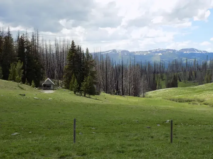 West Fork Cabin (s of Ennis)CampingPhoto: Recreation.gov (RIDB) / public domain5.1 mi
- FREEZEOUT MOUNTAINHiking5.2 mi
- BARNETT TRAILHiking5.6 mi
- FS 6700Mountain biking5.8 mi
- Black Butte CabinCamping8.6 mi
Source: Roamze catalog (indexable pages within 10 miles, PostGIS distance)
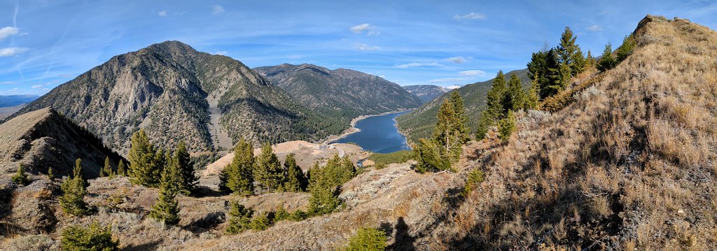 Sheep LakeHiking · ~31 min drivePhoto: Forest Service - Northern Region, Public Domain Mark (via Flickr)
 Papoose Creek TrailHiking · ~21 min drivePhoto: Jon Roanhaus, CC BY-SA 4.0 (via Wikimedia Commons)
- TEEPEE CREEKHiking · ~2 min drive
- STANDARD CREEKHiking · ~12 min drive
- CASCADE MOUNTAINHiking · ~8 min drive
- FREEZEOUT MOUNTAINHiking · ~9 min drive
- BARNETT TRAILHiking · ~10 min drive
- REBISH CUTOFFHiking · ~12 min drive
- MERIDIAN CREEKHiking · ~18 min drive
- POISON CREEKHiking · ~17 min drive
