Sky Rim Trailhead (WN1)
Is Sky Rim Trailhead (WN1) open right now?
Closure in the area
There's a closure order in Yellowstone National Park. It doesn't name Sky Rim Trailhead (WN1), so check the source for the area it covers (2 listed).
Most Park Roads Closed to All Vehicles
Park closure covering Yellowstone National Park · NPS · Yellowstone National Park
Biscuit Basin Closed Due to Hydrothermal Explosion
Park closure covering Yellowstone National Park · NPS · Yellowstone National Park
As of · Source: NPS · Yellowstone National Park. Agencies don't list every closure — check before you go.
This is a remote trailhead at the northwestern boundary of the park that is not accessible by road. From this trailhead, you can embark on the following trails within the park: Sky Rim Trail Dailey Creek Trail
Local outfitters
- Yellowstone Safari Company41 mi away
Not on Roamze yet. Their page has how to reach them.
 SunlightHiking · ~3 min drivePhoto: Greg Willis from Denver, CO, usa, CC BY-SA 2.0 (via Wikimedia Commons)
 Tom Miner Divide SouthHiking · ~4 min drivePhoto: Greg Willis from Denver, CO, usa, CC BY-SA 2.0 (via Wikimedia Commons)
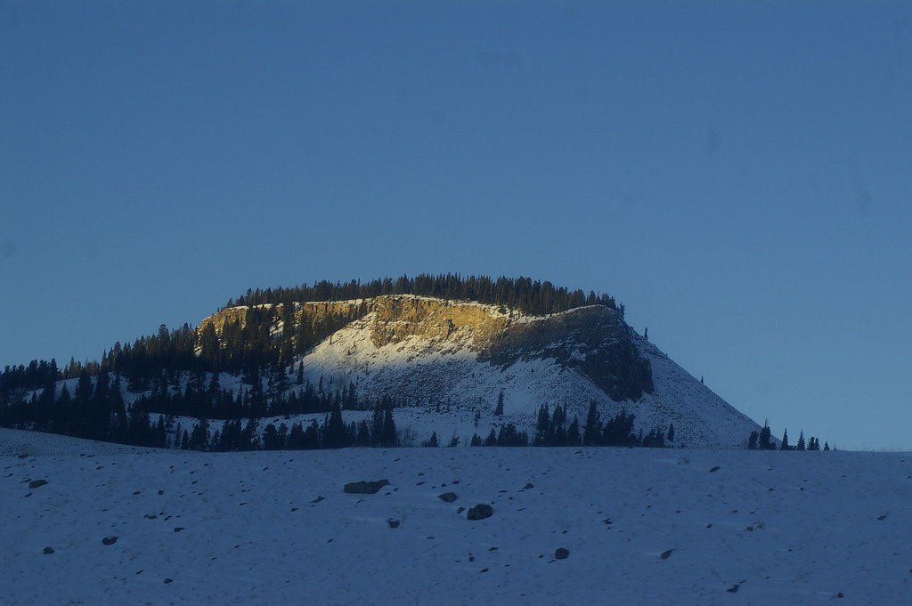 Black Butte Trailhead (WK2)Hiking · ~8 min drivePhoto: hesyifei, CC BY-SA 2.0 (via Flickr)
 Specimen Creek TrailHiking · ~11 min drivePhoto: isydia Vibes, Public Domain Mark (via Flickr)
- Sky Rim TrailHiking · ~2 min drive
- RAMSHORN LAKEHiking · ~4 min drivePhoto: Greg Willis from Denver, CO, usa, CC BY-SA 2.0 (via Wikimedia Commons)
- Tom Miner Divide TrailHiking · ~4 min drivePhoto: Greg Willis from Denver, CO, usa, CC BY-SA 2.0 (via Wikimedia Commons)
- Dailey Creek Trailhead (WK1)Hiking · ~7 min drivePhoto: hesyifei, CC BY-SA 2.0 (via Flickr)
 Elk HornHiking · ~12 min drivePhoto: Forest Service - Northern Region, Public Domain Mark (via Flickr)
- Black Butte TrailHiking · ~7 min drive

