Sixmile
- 5.0 mi
- round trip
- 955 ft
- climb
- 6,372 ft
- high point
- Out and back
- route
Is Sixmile open right now?
Alert in the area
The Forest Service lists an alert for Lolo National Forest.
East Fork Big Creek Road & Trail Closure- Superior Ranger District
Agency alert covering Lolo National Forest · Order 26-003- · USFS · Lolo National Forest
As of · Source: USFS · Lolo National Forest. Agencies don't list every closure — check before you go.
Sixmile is a 5-mile out-and-back hike in the Ninemile Ranger District of Lolo National Forest in western Montana. The trail rises from about 5,650 feet to roughly 6,370 feet, a climb of about 950 feet, and is rated moderate. The Forest Service manages the surrounding land, and the route is open year-round. The trail is natural-surfaced and allows both horses and bikes, making it a flexible option for riders and pack animals. It's a straightforward route with a steady climb, and the high point sits about halfway up the trip. Several other outings lie within a few miles. Valley Creek 1300 path, a mountain biking route, is about 2.4 miles away, and the Valley Creek 1300 section of heavey alder hike is about 2.6 miles off. Ch-Paa-Qn Peak is about 4.6 miles away, and Kreis Pond Campground, about 5.9 miles away, offers a place to stay.
Local outfitters
- Granite Peak RV Resort13 mi away
Not on Roamze yet. Their page has how to reach them.
Keep exploring — more trails worth the drive
 Photo: Forest Service - Northern Region, Public Domain Mark (via Flickr)
Ch-Paa-Qn Peak
~8 min drive
5.17-mile out-and-back trail to Ch-Paa-Qn Peak in Montana with 1,893 ft of elevation gain.
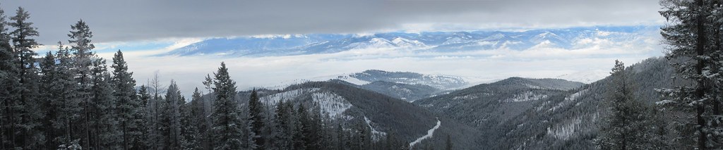 Photo: Evan-Lovely, CC BY-SA 2.0 (via Flickr)
Snowbowl Mountain Bike
~26 min drive
8.06-mile out-and-back trail in Montana with 60 ft of elevation gain.
HIKE
Kreis Pond Red Loop
~9 min drive
14.63-mile loop trail in Montana with 1,035 ft elevation gain.
HIKE
Kreis Pond Blue Loop
~9 min drive
4.64-mile out-and-back trail in Montana with 405 ft elevation gain.
 Photo: astrophotography_andy, CC BY 2.0 (via Flickr)
High Point Trail
~27 min drive
0.44-mile lollipop trail in Montana with 197 ft elevation loss and 4,864 ft max elevation.
HIKE
Edith Peak
~9 min drive
12-mile out-and-back trail to Edith Peak in Montana with 2,818 ft of elevation gain.
HIKE
Kreis Pond Yellow Loop
~10 min drive
3.96-mile out-and-back trail in Montana with 343 ft elevation gain.
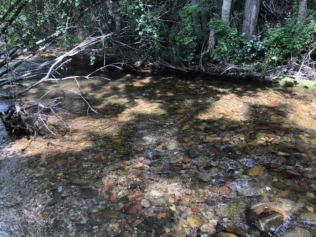 Photo: supercraigtalbert, CC BY 2.0 (via Flickr)
Overlook Trail
~32 min drive
0.7-mile out-and-back trail in Montana with 158 ft elevation gain.
HIKE
Reservation Divide
~11 min drive
14.08-mile out-and-back trail in Montana with 518 ft elevation gain.
HIKE
Kreis Pond Orange Loop
~10 min drive
3.88-mile out-and-back trail in Montana with 282 ft elevation gain.
