Kreis Pond Yellow Loop
- 4.0 mi
- round trip
- 343 ft
- climb
- 3,875 ft
- high point
- Out and back
- route
- Jun, Sep–Oct
- best months
Is Kreis Pond Yellow Loop open right now?
Alert in the area
The Forest Service lists an alert for Lolo National Forest.
East Fork Big Creek Road & Trail Closure- Superior Ranger District
Agency alert covering Lolo National Forest · Order 26-003- · USFS · Lolo National Forest
As of · Source: USFS · Lolo National Forest. Agencies don't list every closure — check before you go.
Kreis Pond Yellow Loop is a 4-mile out-and-back hike in Montana's Lolo National Forest, within the Ninemile Ranger District. The Forest Service manages the surrounding land, and the route runs on natural surface. The climb is moderate, with a total elevation gain of 343 feet from a low point of about 3,574 feet to a high of about 3,875 feet. The route is rated moderate, and it works well for hikers and for mountain bikers, as bikes are allowed on the trail. The most comfortable months for a visit tend to be late spring through early fall. Typical averages from a nearby weather station in Alberton show June highs around 75°F and September highs around 76°F, with July and August running hotter, near 87°F, and winter highs in the mid-30s. Kreis Pond Campground sits about half a mile away, and the Kreis Pond Green Loop and Kreis Pond Orange Loop are each about 0.4 miles off. The Grand Menard Envir Discovery mountain biking route is roughly 1.4 miles away.
Local outfitters
- Granite Peak RV Resort16 mi away
Not on Roamze yet. Their page has how to reach them.
- Kreis Pond Orange LoopMountain biking0.4 mi
- Kreis Pond Green LoopHiking0.4 mi
- Kreis Pond CampgroundCamping0.5 mi
- Kreis Pond Red LoopMountain biking0.6 mi
- Kreis Pond Blue LoopMountain biking0.8 mi
- Grand Menard Envir DiscoveryMountain biking1.4 mi
- Grand Menard Short LoopMountain biking1.4 mi
- Alberton Rest StopRock climbing9.4 mi
Source: Roamze catalog (indexable pages within 10 miles, PostGIS distance)
 Ch-Paa-Qn PeakHiking · ~5 min drivePhoto: Forest Service - Northern Region, Public Domain Mark (via Flickr)
 High Point TrailHiking · ~32 min drivePhoto: astrophotography_andy, CC BY 2.0 (via Flickr)
- Stark MountainHiking · ~7 min drive
- Kreis Pond Orange LoopHiking · Next door
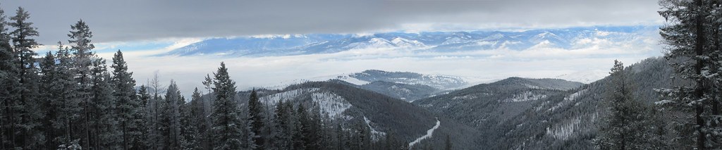 Snowbowl Mountain BikeHiking · ~35 min drivePhoto: Evan-Lovely, CC BY-SA 2.0 (via Flickr)
- Kennedy CreekHiking · ~8 min drive
- Kreis Pond Blue Loop - AHiking · ~4 min drive
- Grand Menard Envir DiscoveryHiking · ~3 min drive
- Reservation DivideHiking · ~11 min drive
- SixmileHiking · ~10 min drive
Best time to visit Kreis Pond Yellow Loop
Best months: June and September–October. Best months have typical highs of 55–85 °F, lows of 30 °F or warmer (32 °F where the station doesn't record snow), at most one snowy day and no more than 12 wet days.
Jan
35° / 18°
14 wet · 9 snow
Feb
40° / 20°
12 wet · 8 snow
Mar
49° / 24°
14 wet · 5 snow
Apr
58° / 30°
13 wet · 2 snow
May
68° / 38°
13 wet
Jun
75° / 44°
12 wet
Jul
87° / 49°
6 wet
Aug
86° / 47°
6 wet
Sep
76° / 40°
8 wet
Oct
58° / 30°
12 wet · 1 snow
Nov
41° / 24°
13 wet · 5 snow
Dec
33° / 19°
14 wet · 9 snow
Typical high / low (°F) and days with rain or snow, 1991–2020. Measured at Alberton, MT, 7 mi away at 3,060 ft. The station sits about 800 ft lower than this place, so expect it a little cooler here. Source: NOAA NCEI U.S. Climate Normals 1991–2020.
