Reimal Tolan Divide
 Photo: footloosiety, CC BY 2.0 (via Flickr)
- 10.8 mi
- round trip
- 2,629 ft
- climb
- 7,587 ft
- high point
- Out and back
- route
- Jun–Aug
- best months
Caution at last check
Agency alerts are in effect for this area; weather is marginal · USFS, OpenWeather · checked 16 h ago
Is Reimal Tolan Divide open right now?
Alert in the area
The Forest Service lists 2 alerts for Bitterroot National Forest.
Pile burning on West Fork Ranger, Darby-Sula & Stevi Nov. 16 to 19
Agency alert covering Bitterroot National Forest · USFS · Bitterroot National Forest
Two Prescribed Burns Planned for the week of Oct. 5 - Piquett Creek & Cameron Gap
Agency alert covering Bitterroot National Forest · USFS · Bitterroot National Forest
As of · Source: USFS · Bitterroot National Forest. Agencies don't list every closure — check before you go.
Reimal Tolan Divide is a hard hike in the Sula Ranger District of the Bitterroot National Forest in western Montana, managed by the Forest Service. The trail is an out-and-back route of about 11 miles, with a one-way elevation gain of roughly 2,600 feet. It starts near 4,900 feet and climbs to about 7,600 feet at the high point. Summer is the most comfortable time to go. Typical averages from the nearby Wisdom weather station show July highs around 78°F and lows near 38°F, with August nearly the same. That station sits well below the divide, so temperatures up high run cooler. The Reimel Creek hike is about a mile away, and Tolan-Reimel Ridge is about 2 miles off. Indian Trees Campground, about 4 miles away, and Warm Springs Campground, about 6 miles away, are the closest places to camp.
- Reimel CreekHikingPhoto: footloosiety, CC BY 2.0 (via Flickr)0.8 mi
- Tolan-Reimel RidgeHiking2.3 mi
- Andrews CreekHiking3.1 mi
- MINK CREEKHiking3.5 mi
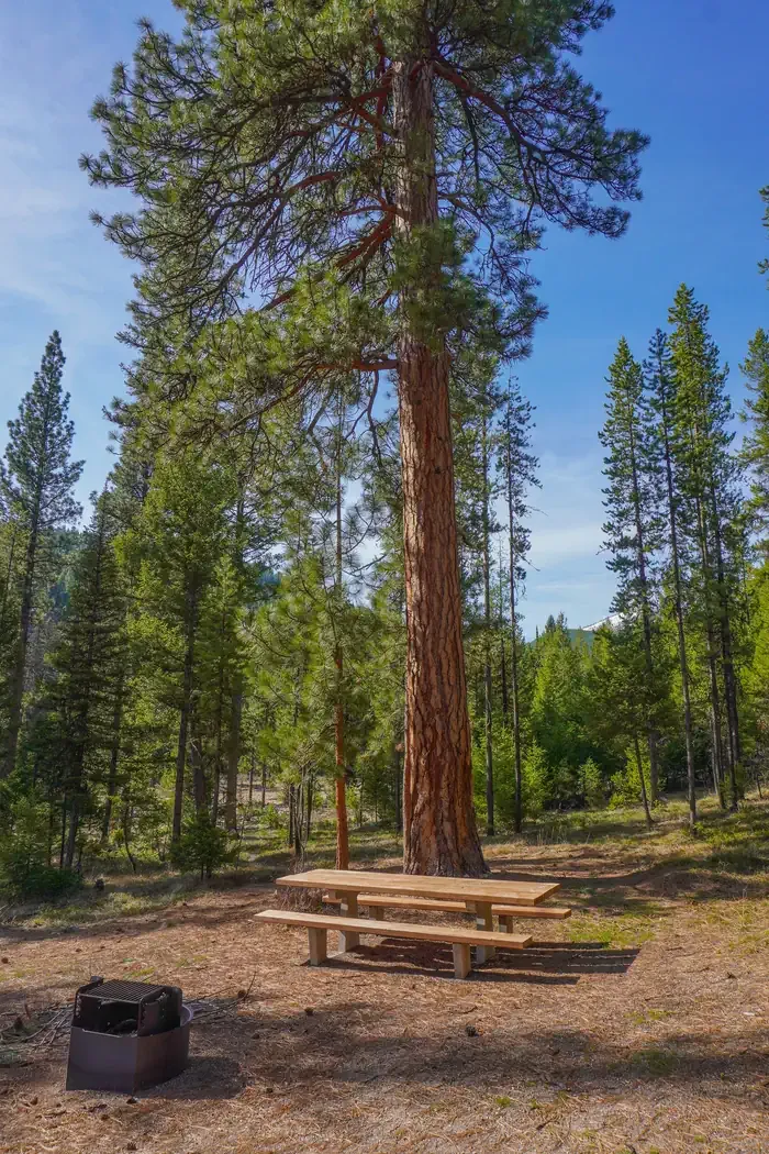 Indian Trees CampgroundCampingPhoto: Recreation.gov (RIDB) / public domain3.8 mi
- Spring Gulch CampgroundCamping5.5 mi
- Warm Springs CampgroundCamping5.6 mi
- Warm Springs CreekCanoeing6.1 mi
Source: Roamze catalog (indexable pages within 10 miles, PostGIS distance)
- Reimel CreekHiking · ~1 min drivePhoto: footloosiety, CC BY 2.0 (via Flickr)
- Tolan-Reimel RidgeHiking · ~4 min drive
- MINK CREEKHiking · ~6 min drive
- Andrews CreekHiking · ~5 min drive
- EAST FORK CAMP CREEKHiking · ~9 min drive
- Porcupine SaddleHiking · ~8 min drive
- TOLAN-REIMEL CUTOFFHiking · ~8 min drive
- Tolan BasinHiking · ~10 min drive
- EAST FORK CAMP CREEKHiking · ~9 min drive
- SPRINGER CREEKHiking · ~10 min drive
Best time to visit Reimal Tolan Divide
Best months: June–August. Best months have typical highs of 55–85 °F, lows of 30 °F or warmer (32 °F where the station doesn't record snow), at most one snowy day and no more than 12 wet days.
Jan
26° / 3°
8 wet
Feb
29° / 3°
8 wet
Mar
39° / 12°
8 wet
Apr
49° / 21°
9 wet
May
59° / 28°
12 wet
Jun
67° / 35°
11 wet
Jul
78° / 38°
8 wet
Aug
77° / 34°
7 wet
Sep
68° / 28°
7 wet
Oct
53° / 21°
8 wet
Nov
36° / 10°
9 wet
Dec
25° / 3°
9 wet
Typical high / low (°F) and days with rain or snow, 1991–2020. Measured at Wisdom, MT, 26.8 mi away at 6,060 ft. The station sits about 1,500 ft lower than this place, so expect it a little cooler here. This station doesn't record snowfall. Source: NOAA NCEI U.S. Climate Normals 1991–2020.
