Fire Creek
- 9.2 mi
- round trip
- 1,457 ft
- climb
- 6,810 ft
- high point
- Out and back
- route
- Jun–Aug
- best months
Is Fire Creek open right now?
Alert in the area
The Forest Service lists 2 alerts for Bitterroot National Forest.
Pile burning on West Fork Ranger, Darby-Sula & Stevi Nov. 16 to 19
Agency alert covering Bitterroot National Forest · USFS · Bitterroot National Forest
Two Prescribed Burns Planned for the week of Oct. 5 - Piquett Creek & Cameron Gap
Agency alert covering Bitterroot National Forest · USFS · Bitterroot National Forest
As of · Source: USFS · Bitterroot National Forest. Agencies don't list every closure — check before you go.
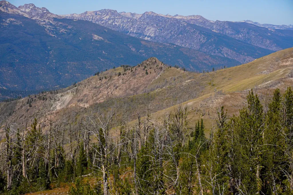
Fire Creek is a hard hike in the Sula Ranger District of Montana's Bitterroot National Forest, a 9.2-mile out-and-back trail that climbs from about 5,000 feet to a high point of 6,810 feet. The route is on natural surface, and the Forest Service manages the land. Summer is the most comfortable time to go. July typically brings highs around 78°F and lows near 38°F, according to typical averages from the nearby Wisdom weather station, which sits roughly 750 feet lower than the trail's high point, so expect cooler temperatures on top. Winters are severe, with January highs typically around 26°F. The trail passes within a short distance of several other destinations. Warm Springs Creek, a canoeing route, lies about 0.7 miles away, and Crazy Creek Campground is about 1.4 miles off. Shook Mountain-Medicine Point and Wiles Peak, both hikes, are each within about 2 miles.
- Warm Springs CreekCanoeing0.7 mi
- Crazy Creek CampgroundCamping1.4 mi
- Shook Mountain-Medicine PointHiking1.9 mi
- Wiles PeakHiking2.1 mi
 Medicine Point LookoutCampingPhoto: Recreation.gov (RIDB) / public domain2.4 mi
- Porcupine CreekHiking2.4 mi
- Twogood CabinCamping2.5 mi
- BEAR CREEKHiking2.7 mi
Source: Roamze catalog (indexable pages within 10 miles, PostGIS distance)
 Reimel CreekHiking · ~11 min drivePhoto: footloosiety, CC BY 2.0 (via Flickr)
- Shook Mountain-Medicine PointHiking · ~3 min drive
- BEAR CREEKHiking · ~5 min drive
- MOON CREEKHiking · ~6 min drive
- Reimal Tolan DivideHiking · ~11 min drivePhoto: footloosiety, CC BY 2.0 (via Flickr)
- MOON CREEKHiking · ~6 min drive
- MOON CREEKHiking · ~7 min drive
- Warm Springs CreekHiking · ~2 min drive
- LAIRD CREEKHiking · ~8 min drive
- Capri LakeHiking · ~9 min drive
Best time to visit Fire Creek
Best months: June–August. Best months have typical highs of 55–85 °F, lows of 30 °F or warmer (32 °F where the station doesn't record snow), at most one snowy day and no more than 12 wet days.
Jan
26° / 3°
8 wet
Feb
29° / 3°
8 wet
Mar
39° / 12°
8 wet
Apr
49° / 21°
9 wet
May
59° / 28°
12 wet
Jun
67° / 35°
11 wet
Jul
78° / 38°
8 wet
Aug
77° / 34°
7 wet
Sep
68° / 28°
7 wet
Oct
53° / 21°
8 wet
Nov
36° / 10°
9 wet
Dec
25° / 3°
9 wet
Typical high / low (°F) and days with rain or snow, 1991–2020. Measured at Wisdom, MT, 32 mi away at 6,060 ft. The station sits about 800 ft lower than this place, so expect it a little cooler here. This station doesn't record snowfall. Source: NOAA NCEI U.S. Climate Normals 1991–2020.
