Sheldon Mountain Tie N
- 1.7 mi
- round trip
- 516 ft
- climb
- 2,718 ft
- high point
- Out and back
- route
- Apr–Jun, Sep–Oct
- best months
Is Sheldon Mountain Tie N open right now?
Closure in the area
There's a closure order in Kootenai National Forest. It doesn't name Sheldon Mountain Tie N, so check the source for the area it covers.
Kootenai Flood Event & Inaccessible Areas
Agency closure covering Kootenai National Forest · USFS · Kootenai National Forest
Updated Skillet Fire Area, Road, Trail Closure
Agency alert covering Kootenai National Forest · Order 01-10- · USFS · Kootenai National Forest
Trail Advisory-Alexander Mountain Trail near Timber Harvest Activities
Agency alert covering Libby Ranger District · USFS · Libby Ranger District
Timberlane Campground Closure
Agency alert covering Libby Ranger District · Order 01-14-05-26-03 · USFS · Libby Ranger District
As of · Source: USFS · Kootenai National Forest. Agencies don't list every closure — check before you go.
Sheldon Mountain Tie N is an easy hike of about 1.7 miles on natural surface in the Libby Ranger District of the Kootenai National Forest in northwest Montana. It's managed by the Forest Service, and the route is an out-and-back with a total climb of about 516 feet, reaching a high of 2,718 feet. The trail is accessible to both horses and bikes. The steepest stretch comes at about 0.5 miles, with a grade of roughly 10 percent. The route isn't an accessible trail. For comfortable weather, late spring and early fall stand out. Typical averages from a nearby weather station in Libby show May highs around 73°F and September highs around 78°F, while July and August average about 90°F. That station sits several hundred feet lower than the trail, so temperatures on the route run cooler. The Whoop Up and Sheldon Mountain E hikes start right next to this one. Sheldon Mountain Tie J offers mountain biking about 0.2 miles away, and Timberlane Campground is roughly 4 miles off.
Local outfitters
- Kootenai River Campground18 mi away
- Indian Springs Montana40 mi away
Not on Roamze yet. Their page has how to reach them.
 Whoop UpHikingPhoto: Tony Webster, CC BY 2.0 (via Flickr)0.1 mi
- Sheldon Mountain EHiking0.2 mi
- Sheldon Mountain Tie JMountain biking0.2 mi
- Sheldon Mountain CMountain biking0.3 mi
- Sheldon Mountain DMountain biking0.4 mi
- Sheldon Mountain Tie IMountain biking0.4 mi
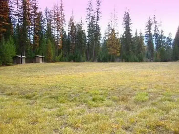 Timberlane CampgroundCampingPhoto: Recreation.gov (RIDB) / public domain3.9 mi
- Pipe CreekCanoeing6.8 mi
Source: Roamze catalog (indexable pages within 10 miles, PostGIS distance)
- Whoop UpHiking · Next doorPhoto: Tony Webster, CC BY 2.0 (via Flickr)
- Sheldon Mountain Tie MHiking · ~1 min drivePhoto: Tony Webster, CC BY 2.0 (via Flickr)
- Sheldon Mountain Tie JHiking · Next door
- Sheldon Mountain AHiking · ~1 min drive
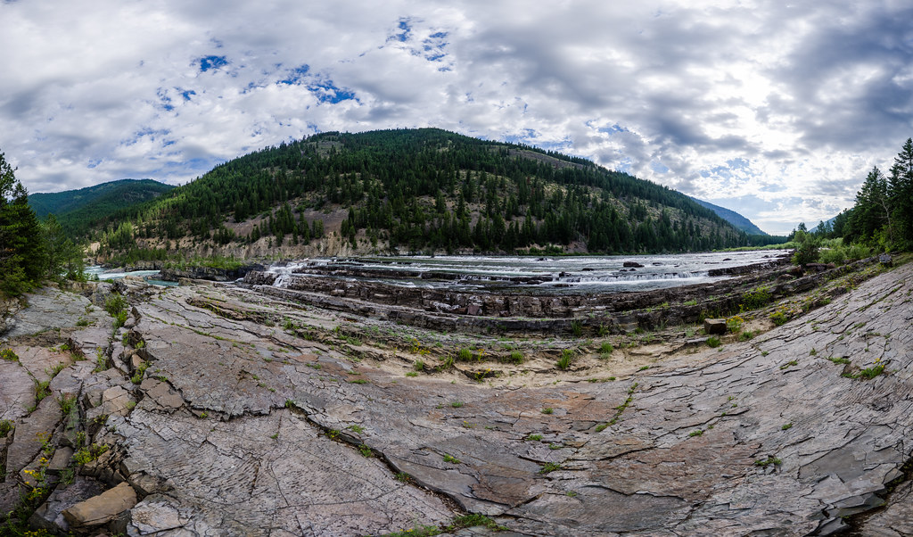 Bighorn Trail #42Hiking · ~16 min drivePhoto: Arbron, CC BY 2.0 (via Flickr)
 TimberlaneHiking · ~7 min drivePhoto: Tony Webster — CC BY 2.0 (via Flickr)
- Scenery Mountain TieHiking · ~10 min drive
- Sheldon MountainHiking · ~2 min drive
- Sheldon Mountain CHiking · ~2 min drive
- Sheldon Mountain EHiking · Next door
Best time to visit Sheldon Mountain Tie N
Best months: April–June and September–October. Best months have typical highs of 55–85 °F, lows of 30 °F or warmer (32 °F where the station doesn't record snow), at most one snowy day and no more than 12 wet days.
Jan
34° / 22°
14 wet · 7 snow
Feb
41° / 22°
10 wet · 4 snow
Mar
52° / 27°
12 wet · 2 snow
Apr
62° / 32°
10 wet
May
73° / 39°
10 wet
Jun
80° / 45°
11 wet
Jul
89° / 49°
7 wet
Aug
90° / 47°
6 wet
Sep
78° / 41°
7 wet
Oct
59° / 34°
10 wet
Nov
41° / 28°
13 wet · 3 snow
Dec
33° / 22°
14 wet · 7 snow
Typical high / low (°F) and days with rain or snow, 1991–2020. Measured at Libby 1 Ne Rs, MT, 2.1 mi away at 2,096 ft. The station sits about 600 ft lower than this place, so expect it a little cooler here. Source: NOAA NCEI U.S. Climate Normals 1991–2020.
