Phantom Creek
- 21.6 mi
- round trip
- 5,100 ft
- climb
- 10,145 ft
- high point
- Out and back
- route
Is Phantom Creek open right now?
Closure in the area
There's a closure order in Beartooth Ranger District. It doesn't name Phantom Creek, so check the source for the area it covers (14 listed).
Krueger Pond Wild Horse and Burro Gather Closure Area
Agency closure covering Beartooth Ranger District · Order 01-11-82-27-01 · USFS · Beartooth Ranger District
NFSR #1700 South Plateau Road Closure
Agency closure covering Custer Gallatin National Forest · USFS · Custer Gallatin National Forest
Pine Grove Campground Closure
Agency closure covering Beartooth Ranger District · Order 01-11-82-26-04 · USFS · Beartooth Ranger District
Hyalite Porcupine Buffalo Horn Summer Interim Travel Order and Map and Order # 01-11-00-26-02
Agency closure covering Custer Gallatin National Forest · Order 01-11-00-26-02 · USFS · Custer Gallatin National Forest
Hyalite Porcupine Buffalo Horn Winter Interim Travel Order and Map Order Number: #01-11-00-26-01
Agency closure covering Custer Gallatin National Forest · USFS · Custer Gallatin National Forest
As of · Source: USFS · Beartooth Ranger District. Agencies don't list every closure — check before you go.
Phantom Creek is a hard hike in the Absaroka-Beartooth Wilderness, part of the Beartooth Ranger District of Custer Gallatin National Forest in Montana. The route is an out-and-back of about 21.6 miles, with a one-way elevation gain of 5,100 feet, starting at roughly 6,150 feet and reaching about 10,145 feet at the high point. The trail is on natural surface and allows horses. Bikes are not permitted. Phantom Lake Trail lies about 1.3 miles away, and East Rosebud is about 2.4 miles off. East Rosebud Campground and East Rosebud Lake are both about 2.7 miles away.
Keep exploring — more trails worth the drive
 Photo: Forest Service - Northern Region, Public Domain Mark (via Flickr)
Spread Creek
~5 min drive
15.04-mile out-and-back trail in Montana with 5,822 ft elevation gain.
 Photo: Matt Lavin, CC BY-SA 2.0 (via Flickr)
Keyser Brown Trail
~19 min drive
1.52-mile out-and-back trail in Montana with 589 ft elevation gain.
HIKE
Phantom Lake Trail
~2 min drive
1.98-mile out-and-back trail in Montana with 1,454 ft of elevation gain.
 Photo: Matt Lavin, CC BY-SA 2.0 (via Flickr)
West Rosebud
~6 min drive
16.78-mile out-and-back trail in Montana with 2,025 ft elevation gain.
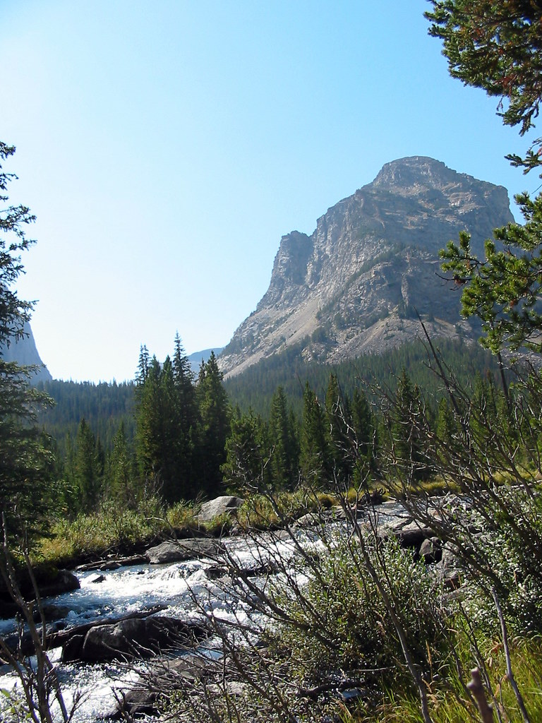 Photo: Stupid Dingo, CC BY 2.0 (via Flickr)
Lost Lake
~21 min drive
0.54-mile out-and-back trail to Lost Lake in Montana with 107 ft of elevation gain.
HIKE
Huckleberry Trail
~10 min drive
3.4-mile out-and-back hike in Montana with 1,713 ft elevation gain/loss.
HIKE
East Rosebud
~4 min drive
East Rosebud is a 33.30-mile out-and-back trail in Montana with 4,218 feet of elevation gain.
HIKE
Crow Lake
~11 min drive
1.00-mile out-and-back trail in Montana with 160 ft of elevation gain.
HIKE
Lake Mary
~13 min drive
2.82-mile out-and-back trail to Lake Mary in Montana with 1,104 ft gain
HIKE
West Fork Rock Creek
~16 min drive
21.21-mile out-and-back trail on West Fork Rock Creek in Montana with 1,935 ft gain.

