East Rosebud
- 33.3 mi
- round trip
- 4,218 ft
- climb
- 9,959 ft
- high point
- Out and back
- route
Caution at last check
Agency alerts are in effect for this area; weather is good · USFS, OpenWeather · checked 19 h ago
Is East Rosebud open right now?
Closure in the area
There's a closure order in Custer Gallatin National Forest. It doesn't name East Rosebud, so check the source for the area it covers (13 listed).
NFSR #1700 South Plateau Road Closure
Agency closure covering Custer Gallatin National Forest · USFS · Custer Gallatin National Forest
Pine Grove Campground Closure
Agency closure covering Beartooth Ranger District · Order 01-11-82-26-04 · USFS · Beartooth Ranger District
Hyalite Porcupine Buffalo Horn Summer Interim Travel Order and Map and Order # 01-11-00-26-02
Agency closure covering Custer Gallatin National Forest · Order 01-11-00-26-02 · USFS · Custer Gallatin National Forest
Hyalite Porcupine Buffalo Horn Winter Interim Travel Order and Map Order Number: #01-11-00-26-01
Agency closure covering Custer Gallatin National Forest · USFS · Custer Gallatin National Forest
Glacier Lake Road #2421 Closure Order Number: # 01-11-82-26- 01
Agency closure covering Custer Gallatin National Forest · Order 01-11-82-26- · USFS · Custer Gallatin National Forest
As of · Source: USFS · Custer Gallatin National Forest. Agencies don't list every closure — check before you go.
East Rosebud is a hard out-and-back hike in the Absaroka-Beartooth Wilderness, part of the Beartooth Ranger District of Custer Gallatin National Forest in Montana. The trail runs about 33 miles, with a one-way elevation gain of 4,218 feet, from a low point of 6,228 feet to a high of 9,959 feet. The Forest Service manages the land, and the route is on natural surface. Horses are allowed, but bikes are not. The trail opens from June 1 to September 30, and the East Rosebud parking area sits about a mile from the trail. East Rosebud Campground and East Rosebud Lake are both about 0.9 miles away, and the Spread Creek hike is about 1.1 miles off.
- East Rosebud CampgroundCamping0.9 mi
- East Rosebud LakeCamping0.9 mi
 Spread CreekHikingPhoto: Forest Service - Northern Region, Public Domain Mark (via Flickr)1.1 mi
 Beartooth MountainsRock climbingPhoto: Forest Service - Northern Region, Public domain (via Wikimedia Commons)1.6 mi
- Phantom CreekHiking2.4 mi
- Sylvan LakeHiking3.1 mi
- West Rosebud Lake Fishing AccessPier fishing5.4 mi
- Beartooth RDRiver fishing6.6 mi
Source: Roamze catalog (indexable pages within 10 miles, PostGIS distance)
- Spread CreekHiking · ~2 min drivePhoto: Forest Service - Northern Region, Public Domain Mark (via Flickr)
 Keyser Brown TrailHiking · ~15 min drivePhoto: Matt Lavin, CC BY-SA 2.0 (via Flickr)
- Phantom Lake TrailHiking · ~6 min drive
 Lake ForkHiking · ~23 min drivePhoto: Forest Service - Northern Region, Public Domain Mark (via Flickr)
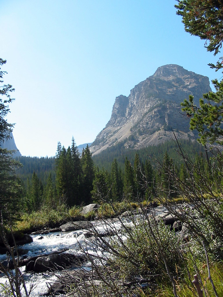 Lost LakeHiking · ~17 min drivePhoto: Stupid Dingo, CC BY 2.0 (via Flickr)
- Huckleberry TrailHiking · ~14 min drive
 West RosebudHiking · ~10 min drivePhoto: Matt Lavin, CC BY-SA 2.0 (via Flickr)
 Glacier Lake TrailHiking · ~24 min drivePhoto: Matt Lavin from Bozeman, Montana, USA, CC BY-SA 2.0 (via Wikimedia Commons)
- Otter LakeHiking · ~19 min drive
- Phantom CreekHiking · ~4 min drive
