Lake Mary
- 2.8 mi
- round trip
- 1,104 ft
- climb
- 9,960 ft
- high point
- Out and back
- route
Caution today
Agency alerts are in effect for this area; weather is marginal · USFS, OpenWeather · checked just now
Is Lake Mary open right now?
Closure in the area
There's a closure order in Custer Gallatin National Forest. It doesn't name Lake Mary, so check the source for the area it covers (13 listed).
NFSR #1700 South Plateau Road Closure
Agency closure covering Custer Gallatin National Forest · USFS · Custer Gallatin National Forest
Pine Grove Campground Closure
Agency closure covering Beartooth Ranger District · Order 01-11-82-26-04 · USFS · Beartooth Ranger District
Hyalite Porcupine Buffalo Horn Summer Interim Travel Order and Map and Order # 01-11-00-26-02
Agency closure covering Custer Gallatin National Forest · Order 01-11-00-26-02 · USFS · Custer Gallatin National Forest
Hyalite Porcupine Buffalo Horn Winter Interim Travel Order and Map Order Number: #01-11-00-26-01
Agency closure covering Custer Gallatin National Forest · USFS · Custer Gallatin National Forest
Glacier Lake Road #2421 Closure Order Number: # 01-11-82-26- 01
Agency closure covering Custer Gallatin National Forest · Order 01-11-82-26- · USFS · Custer Gallatin National Forest
As of · Source: USFS · Custer Gallatin National Forest. Agencies don't list every closure — check before you go.
Lake Mary is a 2.8-mile out-and-back hike in the Absaroka-Beartooth Wilderness, part of the Beartooth Ranger District of Custer Gallatin National Forest in Montana. The trail rises from about 8,800 feet to nearly 10,000 feet, with an elevation gain of 1,104 feet, and is rated moderate. The Forest Service manages the land, and the route is natural-surfaced and open to horses. The trail is within the wilderness, and the open season runs from June 1 to September 30. Bikes are not allowed. The Beartooth RD river fishing area is about 1.4 miles away, and the Crow Lake and West Fork Rock Creek hikes are both within about 4 miles. East Rosebud Campground, about 5.4 miles off, offers a place to stay.
- Beartooth RDRiver fishing1.4 mi
- Crow LakeHiking3.1 mi
- West Fork Rock CreekHiking3.6 mi
 Keyser Brown TrailHikingPhoto: Matt Lavin, CC BY-SA 2.0 (via Flickr)3.8 mi
 Beartooth MountainsRock climbingPhoto: Forest Service - Northern Region, Public domain (via Wikimedia Commons)4.6 mi
- East Rosebud LakeCamping5.4 mi
- East Rosebud CampgroundCamping5.4 mi
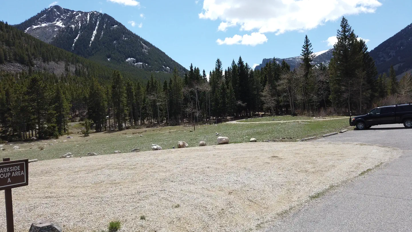 ParksideLake fishing9.2 mi
Source: Roamze catalog (indexable pages within 10 miles, PostGIS distance)
- Keyser Brown TrailHiking · ~7 min drivePhoto: Matt Lavin, CC BY-SA 2.0 (via Flickr)
 Spread CreekHiking · ~9 min drivePhoto: Forest Service - Northern Region, Public Domain Mark (via Flickr)
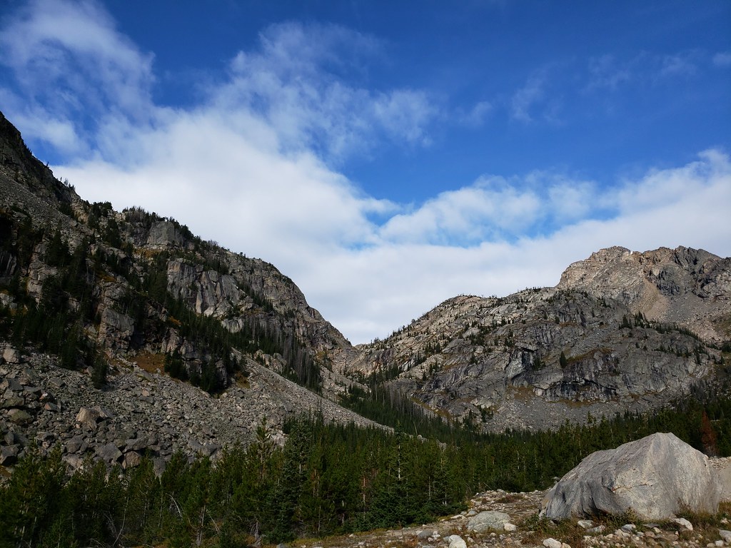 Moon Lake TrailHiking · ~16 min drivePhoto: Forest Service - Northern Region, Public Domain Mark (via Flickr)
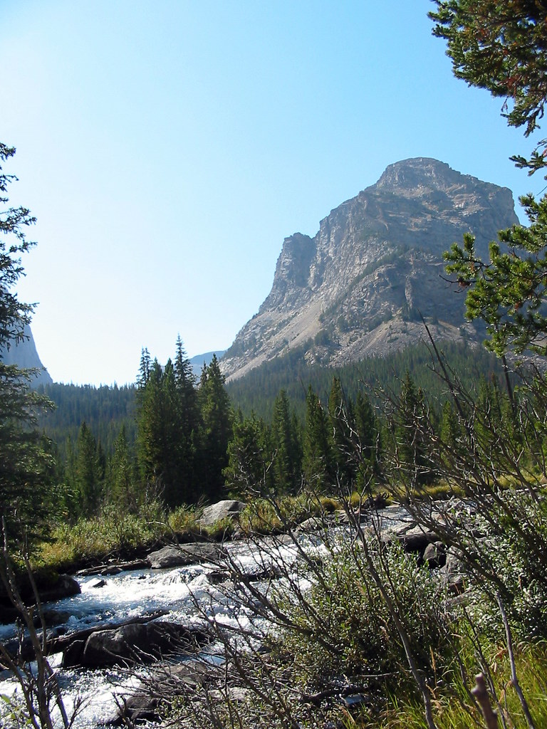 Lost LakeHiking · ~8 min drivePhoto: Stupid Dingo, CC BY 2.0 (via Flickr)
 Lake ForkHiking · ~14 min drivePhoto: Forest Service - Northern Region, Public Domain Mark (via Flickr)
- Glacier LakeHiking · ~17 min drivePhoto: Forest Service - Northern Region, Public Domain Mark (via Flickr)
 Parkside TrailHiking · ~16 min drivePhoto: Forest Service - Northern Region, Public Domain Mark (via Flickr)
 Bear TrackHiking · ~16 min drivePhoto: Matt Lavin, CC BY-SA 2.0 (via Flickr)
- Phantom Lake TrailHiking · ~15 min drive
 Lower Lake Fork TrailHiking · ~16 min drivePhoto: Forest Service - Northern Region, Public Domain Mark (via Flickr)

