Crow Lake
- 1.0 mi
- round trip
- 160 ft
- climb
- 9,071 ft
- high point
- Out and back
- route
- Jun–Aug
- best months
Is Crow Lake open right now?
Closure in the area
There's a closure order in Beartooth Ranger District. It doesn't name Crow Lake, so check the source for the area it covers (14 listed).
Krueger Pond Wild Horse and Burro Gather Closure Area
Agency closure covering Beartooth Ranger District · Order 01-11-82-27-01 · USFS · Beartooth Ranger District
NFSR #1700 South Plateau Road Closure
Agency closure covering Custer Gallatin National Forest · USFS · Custer Gallatin National Forest
Pine Grove Campground Closure
Agency closure covering Beartooth Ranger District · Order 01-11-82-26-04 · USFS · Beartooth Ranger District
Hyalite Porcupine Buffalo Horn Summer Interim Travel Order and Map and Order # 01-11-00-26-02
Agency closure covering Custer Gallatin National Forest · Order 01-11-00-26-02 · USFS · Custer Gallatin National Forest
Hyalite Porcupine Buffalo Horn Winter Interim Travel Order and Map Order Number: #01-11-00-26-01
Agency closure covering Custer Gallatin National Forest · USFS · Custer Gallatin National Forest
As of · Source: USFS · Beartooth Ranger District. Agencies don't list every closure — check before you go.
Crow Lake is an easy, 1-mile out-and-back hike in the Absaroka-Beartooth Wilderness of Montana's Custer Gallatin National Forest, within the Beartooth Ranger District. The trail rises about 160 feet from a low point of 8,919 feet to a high of 9,071 feet. It's a short walk suited to a day in the backcountry, and it works well paired with other outings in the area. The route is on natural surface, and horses are allowed, though bikes are not. The Forest Service manages the land, and the trail falls inside designated wilderness. The trip is typically open from June through September, so plan around those months for the most comfortable conditions. Summer is the most comfortable time to go. Typical averages from the nearby Silver Gate weather station run to highs in the mid-70s in July, with lows around 40 degrees. That station sits roughly 1,600 feet below the trail, so temperatures on the route run cooler. Sylvan Lake is about a mile away, and Lake Mary and West Fork Rock Creek are each within about 3.5 miles. East Rosebud Campground, about 3.5 miles off, offers a place to stay overnight.
Best time to go · Jun–Aug
Best time to visit Crow Lake
Best months: June–August. Best months have typical highs of 55–85 °F, lows of 30 °F or warmer (32 °F where the station doesn't record snow), at most one snowy day and no more than 12 wet days.
Jan
27° / 3°
Feb
30° / 5°
Mar
39° / 12°
Apr
44° / 20°
May
55° / 29°
Jun
65° / 35°
Jul
74° / 40°
Aug
73° / 37°
Sep
64° / 30°
Oct
50° / 23°
Nov
33° / 12°
Dec
24° / 2°
Typical high / low (°F) and days with rain or snow, 1991–2020. Measured at Silver Gate, MT, 23 mi away at 7,495 ft. The station sits about 1,600 ft lower than this place, so expect it a little cooler here. This station doesn't record snowfall. Source: NOAA NCEI U.S. Climate Normals 1991–2020.
Keep exploring — more trails worth the drive
 Photo: Forest Service - Northern Region, Public Domain Mark (via Flickr)
Spread Creek
~6 min drive
15.04-mile out-and-back trail in Montana with 5,822 ft elevation gain.
 Photo: Matt Lavin, CC BY-SA 2.0 (via Flickr)
Keyser Brown Trail
~12 min drive
1.52-mile out-and-back trail in Montana with 589 ft elevation gain.
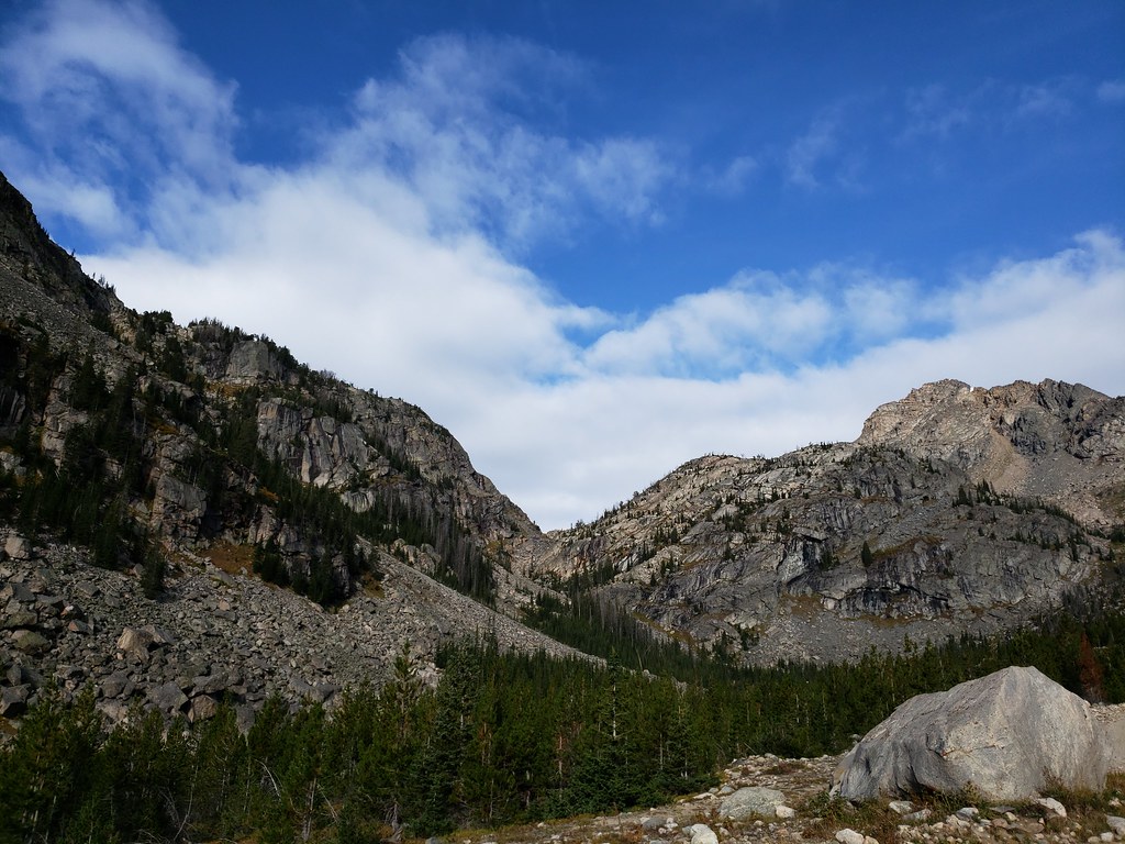 Photo: Forest Service - Northern Region, Public Domain Mark (via Flickr)
Moon Lake Trail
~21 min drive
4.02-mile out-and-back trail in Montana with 2,019 ft elevation gain and loss.
 Photo: Matt Lavin, CC BY-SA 2.0 (via Flickr)
West Rosebud
~16 min drive
16.78-mile out-and-back trail in Montana with 2,025 ft elevation gain.
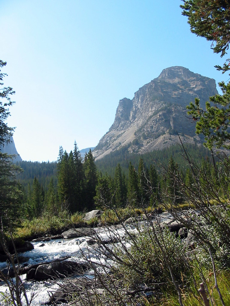 Photo: Stupid Dingo, CC BY 2.0 (via Flickr)
Lost Lake
~13 min drive
0.54-mile out-and-back trail to Lost Lake in Montana with 107 ft of elevation gain.
Photo: Forest Service - Northern Region, Public Domain Mark (via Flickr)Glacier Lake
~22 min drive
4.31-mile out-and-back trail to Glacier Lake in Montana with 1,202 ft of elevation gain.
 Photo: Forest Service - Northern Region, Public Domain Mark (via Flickr)
Lake Fork
~18 min drive
18.67-mile out-and-back trail in Montana with 3,847 ft elevation gain.
 Photo: Forest Service - Northern Region, Public Domain Mark (via Flickr)
Lower Lake Fork Trail
~19 min drive
2.38-mile out-and-back trail in Montana with 489 ft elevation gain and loss.
HIKE
Lake Mary
~5 min drive
2.82-mile out-and-back trail to Lake Mary in Montana with 1,104 ft gain
 Photo: Matt Lavin, CC BY-SA 2.0 (via Flickr)
Bear Track
~19 min drive
9.48-mile out-and-back trail in Montana with 2,901 ft elevation gain.
