Loading…

Free — you'll pick up right here.
Watch this trail
Sign up to watch it — saving subscribes you to gate, closure and report changes.
Montana
2.4 mi
Distance
266 ft
Gain
55 min
Time
We won't guess. Here is exactly what we do and don't know.
What we do know
Inside Custer Gallatin National Forest
2 managing-area boundaries mapped — agency alerts for them feed this page automatically.
Boundary data
What's missing
No access route mapped
We don't yet know which road reaches this trailhead, so we can't tell you if it's gated.
Nobody's filed a report here yet — be the first.
Why you'll love it
Old Tepee
AI-suggested draft · review before you go
No permit or access details on file for this trail — check with the local land manager before you go.
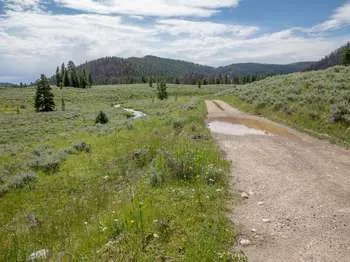
Old Tepee is a short and accessible trail perfect for families and casual hikers seeking a quick outdoor escape in Montana. With modest elevation gain spread over 2.35 miles, this trail offers a gentle climb through typical Montana terrain with scenic views of the surrounding landscape. The trail's name suggests historical significance in the area, making it an interesting cultural and natural destination.
Gneiss Creek (WK7)
~6 min drive
This trailhead along Highway 191 in the western part of the park provides access to one trail: Gneiss Creek Trail Gneiss Creek Trail This moderate 13.9-mile (22.4-km) one-way hike that can start at either the Gneiss Creek Trailhead along Highway 191 and the western boundary…
Dutchman Basin
~2 min drive
Short, easy basin trail with gentle elevation gain near Dutchman Basin.
Whits Lake
~3 min drive
Moderate alpine lake hike with 643 ft elevation gain near Whits Lake, Montana.
Mount Hebgen
~5 min drive
Moderate 10.73-mile climb with 1,641 ft elevation gain near Hebgen Lake.
Fawn Pass Trailhead (WK5)
~15 min drive
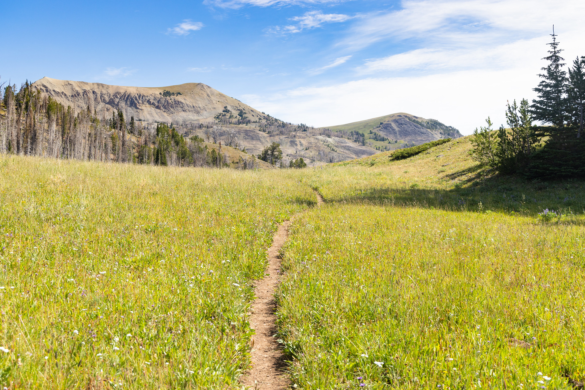
The Fawn Pass trailhead is on the northwest side of Yellowstone near U.S. Highway 191. From this trailhead, you can embark on the following trail: Fawn Pass Trail Fawn Pass Trail This trail can either be a there and back 18-mile (28.9 km) strenuous hike to the top of Fawn P…
Johnson Lake
~3 min drive
Moderate 5.46-mile hike to Johnson Lake with 1,040 ft elevation gain.
Boundary Trail (Xc)
~20 min drive
Moderate 4.58-mile cross-country backcountry route through Montana wilderness.
Big Sky South (Snowmo)
~9 min drive
23-mile snowmobile trail with 1,745 ft gain near Big Sky.
Bacon Rind Trailhead (WK4)
~15 min drive
The Bacon Rind trailhead is on the northwest side of Yellowstone near U.S. Highway 191. From this trailhead, you can embark on the following trail: Bacon Rind Trail Bacon Rind Trail A strenuous 10.2-mile (16.4 km) there-and-back trail that climbs 2,400 feet (731 m) through…
Lower Tepee
~5 min drive
Accessible 3.75-mile Montana trail with 425 ft elevation gain and scenic views.