Duck Creek
- 5.3 mi
- distance
- 6,590 ft
- high point
- Jun–Aug
- best months
Is Duck Creek open right now?
Closure in the area
There's a closure order in Custer Gallatin National Forest. It doesn't name Duck Creek, so check the source for the area it covers (16 listed).
NFSR #1700 South Plateau Road Closure
Agency closure covering Custer Gallatin National Forest · USFS · Custer Gallatin National Forest
Lonesomewood Prescribed Fire Area, Road, and Trail Closure
Agency closure covering Hebgen Lake Ranger District · Order 01-11-07-26-03 · USFS · Hebgen Lake Ranger District
South Plateau Road #1700 Opening Delayed
Agency closure covering Hebgen Lake Ranger District · USFS · Hebgen Lake Ranger District
Hyalite Porcupine Buffalo Horn Summer Interim Travel Order and Map and Order # 01-11-00-26-02
Agency closure covering Custer Gallatin National Forest · Order 01-11-00-26-02 · USFS · Custer Gallatin National Forest
Hyalite Porcupine Buffalo Horn Winter Interim Travel Order and Map Order Number: #01-11-00-26-01
Agency closure covering Custer Gallatin National Forest · USFS · Custer Gallatin National Forest
As of · Source: USFS · Custer Gallatin National Forest. Agencies don't list every closure — check before you go.
Duck Creek is a canoeing spot in Montana's Custer Gallatin National Forest, within the Hebgen Lake Ranger District. The Forest Service manages the land, and the paddling area sits about 5 miles from the district's center. Summer is the most comfortable time to paddle. Typical averages from a nearby weather station show July highs around 80°F with lows near 39°F, while winter highs stay in the mid-20s. Several other outings lie close by. Gneiss Creek Trail is about 1.3 miles away, and Whits Lake is about 3 miles off. For an overnight stay, Rainbow Point Campground is about 3 miles away and Bakers Hole Campground about 5 miles.
Local outfitters
- Flying Pig Adventures27 mi away
Not on Roamze yet. Their page has how to reach them.
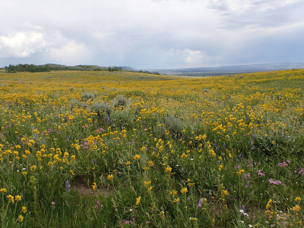 Gneiss Creek TrailHikingPhoto: Matt Lavin, CC BY-SA 2.0 (via Flickr)1.3 mi
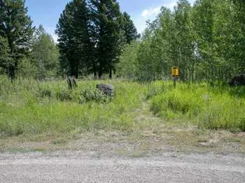 Gneiss Creek (WK7)HikingPhoto: NPS / public domain1.4 mi
- Whits LakeHiking3 mi
- Rainbow Point CampgroundCamping3.2 mi
- Bakers Hole CampgroundCamping5.1 mi
- Grayling CreekCanoeing5.6 mi
- Cougar CreekCanoeing5.8 mi
- Lonesomehurst CampgroundCamping6.7 mi
Source: Roamze catalog (indexable pages within 10 miles, PostGIS distance)
 Madison RiverCanoeing · ~22 min drivePhoto: Jim Peaco, National Park Service, Public domain (via Wikimedia Commons)
- Rainbow Point Boat LaunchBoat launch · ~5 min drive
- Big Springs Grp. Area - Island ParkTubing · ~35 min drive
 Gardner RiverCanoeing · ~35 min drivePhoto: Jo Suderman, Public domain (via Wikimedia Commons)
- Quake Lake Boat LaunchBoat launch · ~25 min drive
- Flat RockTubing · ~38 min drive
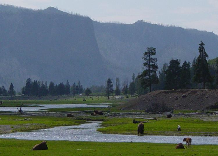 Gibbon RiverCanoeing · ~37 min drivePhoto: Daniel Mayer, CC BY-SA 3.0 (via Wikimedia Commons)
- Henry's Lake - Boat AccessBoat launch · ~32 min drive
- Upper Coffee PotTubing · ~40 min drive
 Little Firehole RiverCanoeing · ~39 min drivePhoto: Yellowstone National Park, Public domain (via Wikimedia Commons)
Best time to visit Duck Creek
Best months: June–August. Best months have typical highs of 55–85 °F, lows of 30 °F or warmer (32 °F where the station doesn't record snow), at most one snowy day and no more than 12 wet days.
Jan
27° / 0°
Feb
31° / 1°
Mar
40° / 9°
Apr
48° / 21°
May
59° / 29°
Jun
68° / 34°
Jul
80° / 39°
Aug
78° / 36°
Sep
68° / 30°
Oct
51° / 21°
Nov
36° / 11°
Dec
26° / 3°
Typical high / low (°F) and days with rain or snow, 1991–2020. Measured at W Yellowstone Gateway, MT, 8.4 mi away at 6,679 ft. This station doesn't record snowfall. Source: NOAA NCEI U.S. Climate Normals 1991–2020.
