Montana · Hiking
Nez Perce Nht (Nee-Me-Poo) - Colorado
- 119 mi
- one way
- 2,656 ft
- climb
- 9,224 ft
- high point
- Point to point
- route
Loading this week's forecast
The Nez Perce NHT (Nee-Me-Poo) in Montana is a point-to-point route on National Forest Service land, about 7.3 miles from Lolo Hot Springs. It is a long, steep climb, rising 2,656 feet from a low point of 2,464 feet to a high of 9,224 feet. The trail is rated hard and is roughly 119 miles long, with natural surface and horses allowed. The trip is best suited to a multi-day plan. Lolo Creek Campground and Picnic Area sits just a mile away, and West Fork Butte Lookout is about 3.6 miles off. Lolo Creek offers canoeing about 3.3 miles away, and the North Fork Howard Creek hike starts about 3.5 miles away.
Local outfitters
- Granite Peak RV Resort17 mi away
Not on Roamze yet. Their page has how to reach them.
- Lolo Creek Campground and Picnic AreaCamping1 mi
- Lolo CreekCanoeing3.3 mi
- NORTH FORK HOWARD CREEKHiking3.5 mi
- West Fork Butte LookoutCamping3.6 mi
- West Fork ButteHiking3.8 mi
- WAGON MOUNTAINHiking3.8 mi
 The HeapRock climbingPhoto: djembayz, CC0 (via Wikimedia Commons)7.5 mi
- Palace WallRock climbing7.6 mi
Source: Roamze catalog (indexable pages within 10 miles, PostGIS distance)
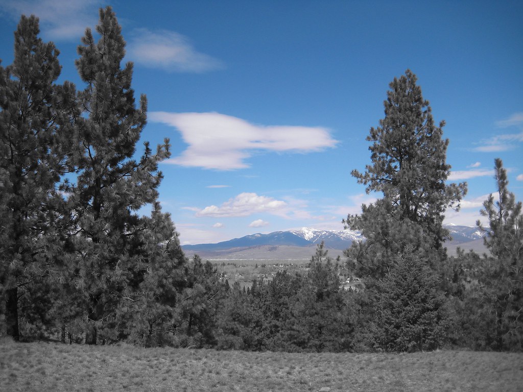 HAYES POINT CUTOFFHiking · ~22 min drivePhoto: Evan-Lovely, CC BY-SA 2.0 (via Flickr)
- West Fork ButteHiking · ~6 min drive
- Sally Ridge TrailHiking · ~9 min drive
- Sally Ridge TrailHiking · ~11 min drive
- Sally Ridge TrailHiking · ~10 min drive
- WAGON MOUNTAINHiking · ~7 min drive
- Sally Ridge TrailHiking · ~13 min drive
- TEEPEE RIDGEHiking · ~10 min drive
- Burdette RidgeHiking · ~10 min drive
- Lee Creek InterpretiveHiking · ~15 min drive
