Wagon Mountain
- 5.1 mi
- round trip
- 4,284 ft
- climb
- 6,975 ft
- high point
- Out and back
- route
Is WAGON MOUNTAIN open right now?
Alert in the area
The Forest Service lists an alert for Lolo National Forest.
East Fork Big Creek Road & Trail Closure- Superior Ranger District
Agency alert covering Lolo National Forest · Order 26-003- · USFS · Lolo National Forest
As of · Source: USFS · Lolo National Forest. Agencies don't list every closure — check before you go.
Wagon Mountain is a hard out-and-back hike in the Missoula Ranger District of Lolo National Forest in western Montana, managed by the Forest Service. The route is about 10 miles long, with a total elevation gain of 4,284 feet, and it reaches a high point of 6,975 feet. The climb is steady, and the steepest stretch comes early, around 0.35 miles from the start, where the grade reaches 57 percent. The hike begins at an elevation of about 5,576 feet and ends at the same level, so the total gain and loss are each about 4,284 feet. Plan on about 5.5 hours for the round trip. Several other outings sit within a few miles. Printers Creek and North Fork Howard Creek are both about 3 miles away, and the Nez Perce NHT (Nee-Me-Poo) - Colorado trail is about 3.8 miles off. Lolo Creek Campground and Picnic Area, about 4.5 miles away, is the closest place to camp.
Local outfitters
- Granite Peak RV Resort15 mi away
Not on Roamze yet. Their page has how to reach them.
- Printers CreekHiking2.9 mi
- NORTH FORK HOWARD CREEKHiking3 mi
- Nez Perce Nht (Nee-Me-Poo) - ColoradoHiking3.8 mi
- Lolo Creek Campground and Picnic AreaCamping4.5 mi
- TEEPEE RIDGEHiking6.2 mi
- Burdette RidgeHiking6.2 mi
- Lolo CreekCanoeing6.3 mi
- West Fork Butte LookoutCamping7.4 mi
Source: Roamze catalog (indexable pages within 10 miles, PostGIS distance)
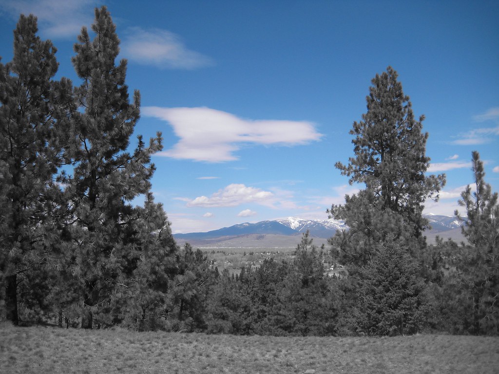 HAYES POINT CUTOFFHiking · ~21 min drivePhoto: Evan-Lovely, CC BY-SA 2.0 (via Flickr)
 BLUE MTN M/C DEADMAN RIDGEHiking · ~22 min drivePhoto: Evan-Lovely, CC BY-SA 2.0 (via Flickr)
- Printers CreekHiking · ~5 min drive
- Sally Ridge TrailHiking · ~16 min drive
- BLUE MTN HORSE/HIKER NRT TIEHiking · ~22 min drivePhoto: Evan-Lovely, CC BY-SA 2.0 (via Flickr)
- Sally Ridge TrailHiking · ~17 min drive
- Nez Perce Nht (Nee-Me-Poo) - ColoradoHiking · ~7 min drive
- TEEPEE RIDGEHiking · ~11 min drive
- Sally Ridge TrailHiking · ~19 min drive
- Burdette RidgeHiking · ~11 min drive
