West Fork Butte
- 13.8 mi
- round trip
- 2,315 ft
- climb
- 6,139 ft
- high point
- Out and back
- route
Is West Fork Butte open right now?
Alert in the area
The Forest Service lists an alert for Lolo National Forest.
East Fork Big Creek Road & Trail Closure- Superior Ranger District
Agency alert covering Lolo National Forest · Order 26-003- · USFS · Lolo National Forest
As of · Source: USFS · Lolo National Forest. Agencies don't list every closure — check before you go.
West Fork Butte is a hard hike in the Missoula Ranger District of Lolo National Forest in western Montana. The route is an out-and-back with a total gain of 2,315 feet, starting at a low of about 3,824 feet and reaching a high of about 6,139 feet. The trail is natural-surfaced, and the Elk Meadows Winter Trailhead is the parking point, open year-round. The climb is long and steep. The hike covers about 13.8 miles round trip, and the grade is enough to make it a serious outing. Bikes and horses are allowed, so the route works for a variety of travel. Lolo Creek, a canoeing spot, lies about 0.7 miles away. West Fork Butte Lookout and Lolo Creek Campground and Picnic Area are both about 2.8 miles off. Lantern Ridge, another hike, is about 3.1 miles away.
Local outfitters
- Granite Peak RV Resort18 mi away
Not on Roamze yet. Their page has how to reach them.
- Lolo CreekCanoeing0.7 mi
- West Fork Butte LookoutCamping2.8 mi
- Lolo Creek Campground and Picnic AreaCamping2.8 mi
- Lantern RidgeHiking3.1 mi
- Nez Perce Nht (Nee-Me-Poo) - ColoradoHiking3.8 mi
- Sally Ridge TrailHiking4.4 mi
- Palace WallRock climbing4.9 mi
 The HeapRock climbingPhoto: djembayz, CC0 (via Wikimedia Commons)8.8 mi
Source: Roamze catalog (indexable pages within 10 miles, PostGIS distance)
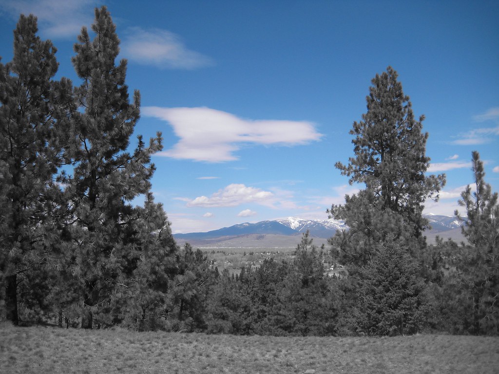 HAYES POINT CUTOFFHiking · ~20 min drivePhoto: Evan-Lovely, CC BY-SA 2.0 (via Flickr)
 BLUE MTN M/C DEADMAN RIDGEHiking · ~20 min drivePhoto: Evan-Lovely, CC BY-SA 2.0 (via Flickr)
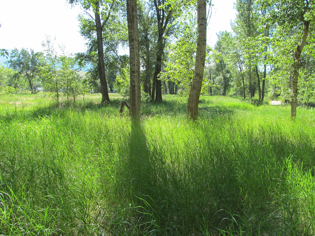 bitteroot runoff trailHiking · ~21 min drivePhoto: reverendlukewarm, CC BY-SA 2.0 (via Flickr)
- Sally Ridge TrailHiking · ~8 min drive
- Blue Mountain Horse/hiker AHiking · ~21 min drive
- BLUE MTN HORSE/HIKER NRT TIEHiking · ~20 min drivePhoto: Evan-Lovely, CC BY-SA 2.0 (via Flickr)
- BLUE MTN HORSE/HIKER/BIKEHiking · ~21 min drivePhoto: Evan-Lovely, CC BY-SA 2.0 (via Flickr)
- Lantern RidgeHiking · ~5 min drive
- SPRUCE CREEK LAKEHiking · ~19 min drive
 Blue Mountian Bike AHiking · ~21 min drivePhoto: Evan-Lovely, CC BY-SA 2.0 (via Flickr)
Route details
- Distance
- 13.8 mi round trip
- Climbing
- About 2,315 ft
- Starts at
- ELK MEADOWS WINTER TRAILHEAD (about 4,315 ft)
- Summit
- 6,162 ft
- Difficulty
- Hard
- Time
- About 5.5 hours
Getting there
Park at ELK MEADOWS WINTER TRAILHEAD.
Season
Season: Year-round.
Questions about this route
How long is the West Fork Butte on West Fork Butte?
About 13.8 mi round trip from ELK MEADOWS WINTER TRAILHEAD (about 4,315 ft).
How much elevation gain is on the West Fork Butte?
About 2,315 ft of climbing round trip.
How hard is the West Fork Butte?
It is rated hard.
Where does the West Fork Butte start?
ELK MEADOWS WINTER TRAILHEAD (about 4,315 ft).
How long does the West Fork Butte take?
About 5.5 hours round trip.
When is the best time for the West Fork Butte?
Year-round.
Conditions and forecast on West Fork Butte
Daily highs and lows, wind and the chance of precipitation at the summit and route start for the next 7 days, from the Open-Meteo model.
