Lincoln Creek Trail
- 6.7 mi
- round trip
- 2,416 ft
- climb
- 4,243 ft
- high point
- Out and back
- route
- Jul–Sep
- best months
Is Lincoln Creek Trail open right now?
Closure in the area
There's a closure order in Glacier National Park. It doesn't name Lincoln Creek Trail, so check the source for the area it covers.
Going-to-the-Sun Road Seasonal Closure
Park closure covering Glacier National Park · NPS · Glacier National Park
As of · Source: NPS · Glacier National Park. Agencies don't list every closure — check before you go.
Lincoln Creek Trail is a hard hike in Glacier National Park in Montana, managed by the National Park Service. The route is an out-and-back of about 13.5 miles, with a total elevation gain of 2,416 feet. The trail starts at about 4,221 feet and climbs to a high point of 4,243 feet, then descends back to the starting elevation. The steepest stretch comes at about 1.8 miles in, with a grade of 18 percent. Summer is the most comfortable time to go. Typical averages from a nearby weather station show July highs around 80°F with lows near 50°F, and August is similar with fewer wet days. That station sits well below the trail, so temperatures on the route run cooler. The trip takes about 5.5 hours. Snyder Ridge Trail is about 2 miles away, and Mount Brown Trail and Sperry Glacier Trail are within about 3.5 miles. Apgar Group Sites, about 7.6 miles off, offers camping.
Local outfitters
- North American RV Park & Yurt Village13 mi away
- Rocky Mountain Outfitter34 mi away
Not on Roamze yet. Their page has how to reach them.
 Snyder Ridge TrailHikingPhoto: GlacierNPS, Public Domain Mark (via Flickr)2.1 mi
- Glacier National ParkRock climbing2.5 mi
- Mount Brown TrailHiking2.9 mi
- Lincoln Lake TrailHiking3.2 mi
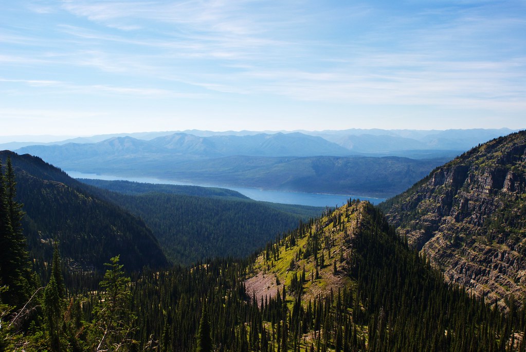 Sperry Glacier TrailHikingPhoto: owen galen jones, CC BY-SA 2.0 (via Flickr)3.4 mi
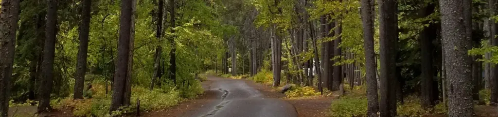 Apgar Group SitesCampingPhoto: Recreation.gov (RIDB) / public domain7.6 mi
- Belton Bridge at Glacier National ParkRock climbing8 mi
 Saint Mary RiverCanoeingPhoto: Royalbroil, CC BY-SA 3.0 (via Wikimedia Commons)9.7 mi
Source: Roamze catalog (indexable pages within 10 miles, PostGIS distance)
- Sperry Glacier TrailHiking · ~6 min drivePhoto: owen galen jones, CC BY-SA 2.0 (via Flickr)
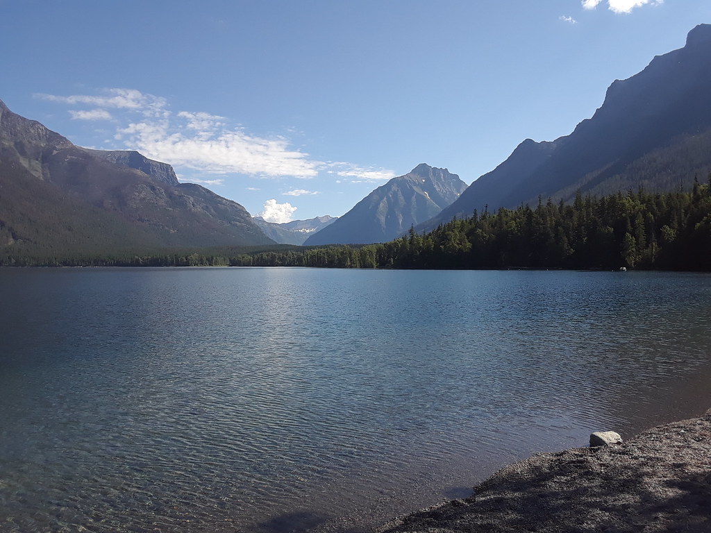 McDonald Horse TrailHiking · ~7 min drivePhoto: zenm, CC BY 2.0 (via Flickr)
 Upper McDonald Creek TrailHiking · ~8 min drivePhoto: Tony Webster, CC BY 2.0 (via Flickr)
 Gunsight Pass TrailHiking · ~12 min drivePhoto: Gary Miotla, CC BY 3.0 (via Wikimedia Commons)
 Rocky Point TrailheadHiking · ~12 min drivePhoto: Daniel Weber, Public Domain Dedication (CC0) (via Flickr)
 Harrison CreekHiking · ~9 min drivePhoto: ludger.heide, CC BY-SA 2.0 (via Flickr)
 Ellen Wilson TrailHiking · ~8 min drivePhoto: TheZfox, CC BY-SA 2.0 (via Flickr)
- Snyder Lake TrailHiking · ~7 min drive
 Howe Ridge TrailHiking · ~13 min drivePhoto: LukeDetwiler, CC BY 2.0 (via Flickr)
 Avalanche Lake TrailHiking · ~13 min drivePhoto: Greg Willis from Denver, CO, usa, CC BY-SA 2.0 (via Wikimedia Commons)
Best time to visit Lincoln Creek Trail
Best months: July–September. Best months have typical highs of 55–85 °F, lows of 30 °F or warmer (32 °F where the station doesn't record snow), at most one snowy day and no more than 12 wet days.
Jan
30° / 19°
18 wet
Feb
34° / 19°
15 wet
Mar
42° / 25°
15 wet
Apr
53° / 31°
14 wet
May
64° / 39°
14 wet
Jun
70° / 45°
14 wet
Jul
80° / 50°
9 wet
Aug
79° / 48°
7 wet
Sep
68° / 41°
9 wet
Oct
52° / 33°
13 wet
Nov
37° / 26°
16 wet
Dec
29° / 20°
18 wet
Typical high / low (°F) and days with rain or snow, 1991–2020. Measured at W Glacier, MT, 8.5 mi away at 3,148 ft. The station sits about 1,100 ft lower than this place, so expect it a little cooler here. This station doesn't record snowfall. Source: NOAA NCEI U.S. Climate Normals 1991–2020.

Map and trail data © OpenStreetMap contributors
