Darroch Creek Road-005
Campground
Campground · 4.9 mi from the trail
Closure in the area
There's a closure order in Custer Gallatin National Forest. It doesn't name Horse Creek Trail, so check the source for the area it covers (14 listed).
NFSR #1700 South Plateau Road Closure
Agency closure covering Custer Gallatin National Forest · USFS · Custer Gallatin National Forest
Tom Miner Campground Closure
Agency closure covering Gardiner Ranger District · Order 01-11-03-26-02 · USFS · Gardiner Ranger District
Hyalite Porcupine Buffalo Horn Summer Interim Travel Order and Map and Order # 01-11-00-26-02
Agency closure covering Custer Gallatin National Forest · Order 01-11-00-26-02 · USFS · Custer Gallatin National Forest
Hyalite Porcupine Buffalo Horn Winter Interim Travel Order and Map Order Number: #01-11-00-26-01
Agency closure covering Custer Gallatin National Forest · USFS · Custer Gallatin National Forest
Glacier Lake Road #2421 Closure Order Number: # 01-11-82-26- 01
Agency closure covering Custer Gallatin National Forest · Order 01-11-82-26- · USFS · Custer Gallatin National Forest
As of · Source: USFS · Custer Gallatin National Forest. Agencies don't list every closure — check before you go.
Horse Creek Trail is a 1.8-mile out-and-back hike in the Absaroka-Beartooth Wilderness, part of the Gardiner Ranger District of Custer Gallatin National Forest in Montana. The Forest Service manages the land, and the trail starts at about 8,760 feet, rising to a high point of 9,242 feet with a total gain of 900 feet over the course of the trip. The climb is front-loaded, with the steepest stretch at about 0.17 miles from the start, where the grade reaches 18 percent. The route is rated moderate, and the trip takes about an hour. The trail is short enough to fit into a day of exploring the surrounding wilderness, and the high point makes it a natural anchor for a longer outing in the area. Nearby, Knife Creek and Mount Wallace are both within about 1.7 miles, and Ash Mountain Way is about 2.4 miles away. For an overnight stay, Bear Creek campground sits about 5.4 miles from the trail.
Darroch Creek Road-005
Campground
Iron Horse Bar & Grill
Restaurant
Places © OpenStreetMap contributors
More in EmigrantNot on Roamze yet. Their page has how to reach them.
Source: Roamze catalog (indexable pages within 10 miles, PostGIS distance)
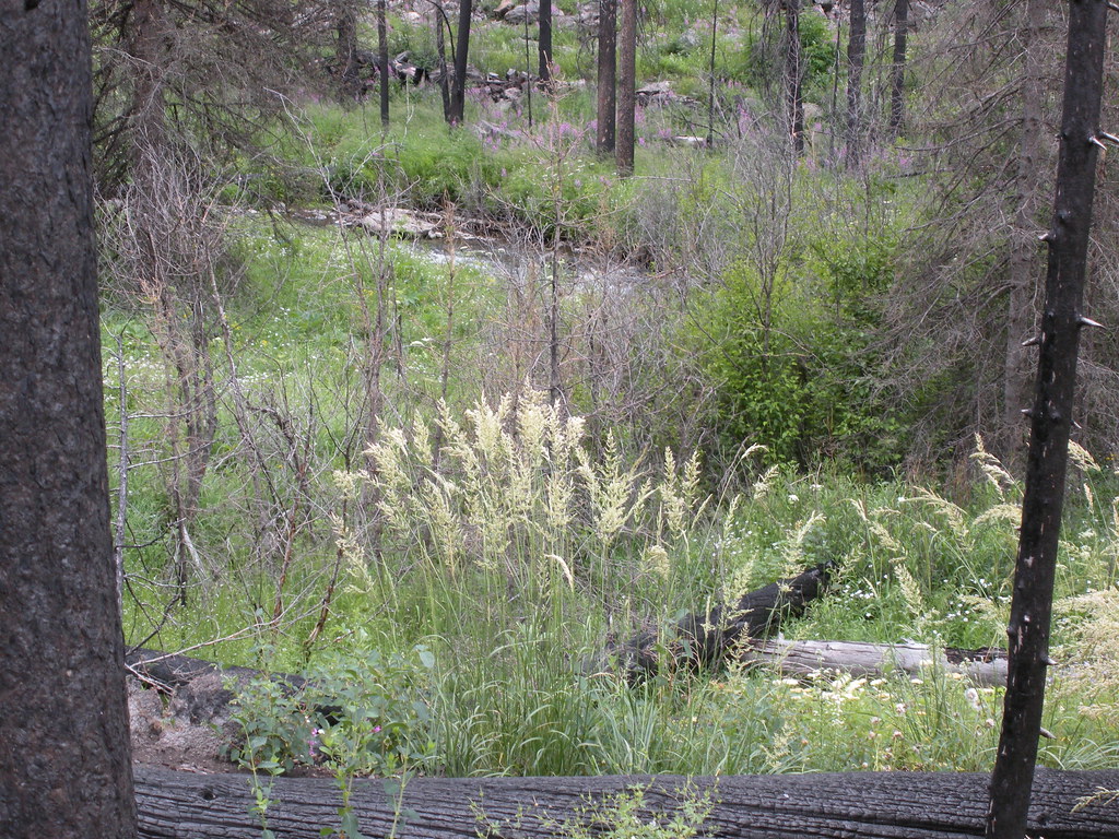 Passage FallsHiking · ~11 min drivePhoto: Matt Lavin, CC BY-SA 2.0 (via Flickr)
Map and trail data © OpenStreetMap contributors
