
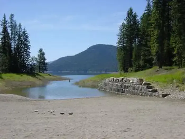
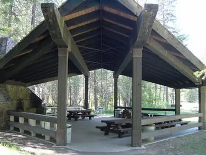
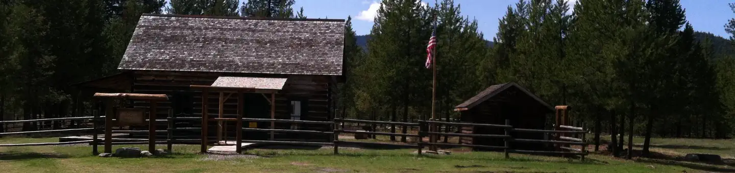
Kootenai River Campground
Hiking business nearby (~33 mi away) — hasn't claimed their Roamze page yet
Free — you'll pick up right here.
Watch this trail
Sign up to watch it — saving subscribes you to gate, closure and report changes.
Montana
9.8 mi
Distance
989 ft
Gain
3h 45m
Time
An agency closure order is in effect for this area; weather is good
2 factors · 2 sources
Newest 20 h ago · oldest 28 d
problem: Agency alerts
5 active alerts in Kootenai National Forest; most severe: Kootenai Flood Event & Inaccessible Areas
USFS28 d ago
clear: Weather
Clear, high 72°F / low 54°F, 0% precip — 100/100 for hike
OpenWeather20 h ago
Been out here in the last few days? One report keeps this current for everyone.
Why you'll love it
Hornet Ridge
AI-suggested draft · review before you go
No permit or access details on file for this trail — check with the local land manager before you go.
Hornet Ridge is a moderate 9.78-mile trail offering nearly 1,000 feet of elevation gain through Montana's scenic backcountry. This ridge-running route provides expansive views and a rewarding alpine experience suitable for hikers with solid endurance. The trail's steady climb rewards persistence with open vistas typical of Montana's high country.
North Fork Canyon Creek
~2 min drive
Moderate canyon creek hike with steady elevation gain and scenic drainage views.
Cody Lakes
~12 min drive
Easy sub-mile walk to scenic lakes, perfect for families.
Rainy Divide Loop / Canoe Gulch #512
~13 min drive
Moderate 7.88-mile loop with nearly 1,000 ft gain through Montana backcountry.
Canyon Divide
~7 min drive
Moderate 10.5-mile divide crossing with canyon views and steady terrain.
Jennings Tote
~12 min drive
Steep, short Montana foothill climb with 1,218 ft gain in under a mile.
South Fork Fivemile
~16 min drive
Moderate 4.45-mile climb with 1,423 ft gain in the South Fork drainage.
Richards Mountain
~8 min drive
Moderate 10.2-mile hike with 1,855 ft gain to Richards Mountain summit.
Tony Peak
~13 min drive
Steep 3.4-mile peak hike with nearly 1,000 ft gain near Tony Peak, Montana.
Wolf Mountain
~21 min drive
Moderate 5.2-mile climb with 1,185 ft gain and scenic mountain vistas.
Dunn Creek
~8 min drive
11.3-mile moderate hike with 2,159 ft gain through Dunn Creek drainage.
Local operatorsoffering guided trips. You book directly with them — Roamze doesn’t take a cut.
Kootenai River Campground
Hiking business nearby (~33 mi away) — hasn't claimed their Roamze page yet
Indian Springs Montana
Hiking business nearby (~37 mi away) — hasn't claimed their Roamze page yet
Rocky Mountain Outfitter
Hiking business nearby (~44 mi away) — hasn't claimed their Roamze page yet