Holloway Lake
- 13.8 mi
- round trip
- 2,397 ft
- climb
- 7,813 ft
- high point
- Out and back
- route
Is Holloway Lake open right now?
Alert in the area
The Forest Service lists 2 alerts for Bitterroot National Forest.
Pile burning on West Fork Ranger, Darby-Sula & Stevi Nov. 16 to 19
Agency alert covering Bitterroot National Forest · USFS · Bitterroot National Forest
Two Prescribed Burns Planned for the week of Oct. 5 - Piquett Creek & Cameron Gap
Agency alert covering Bitterroot National Forest · USFS · Bitterroot National Forest
As of · Source: USFS · Bitterroot National Forest. Agencies don't list every closure — check before you go.
Holloway Lake is a hard hike in the Selway-Bitterroot Wilderness, part of the Stevensville Ranger District of the Bitterroot National Forest in western Montana. The route is an out-and-back of about 13.8 miles, with a total elevation gain of 2,397 feet, taking you from a low point of about 5,893 feet to a high of about 7,813 feet. The trail is natural-surfaced, and the Forest Service manages the land. The climb is a significant one, and the route's length and gain make it a serious outing. Plan on a full day, and expect the high point to come in the second half of the trip. Nearby, the Little St. Joe and Bass Creek hikes are both within about 3.5 miles, and Larry Creek Group Camp and Charles Waters Campground offer camping about 4.8 miles away.
Local outfitters
- Granite Peak RV Resort23 mi away
Not on Roamze yet. Their page has how to reach them.
- Little St. JoeHiking3.3 mi
- Sweeney ViewpontMountain biking3.4 mi
- Bass CreekHiking3.5 mi
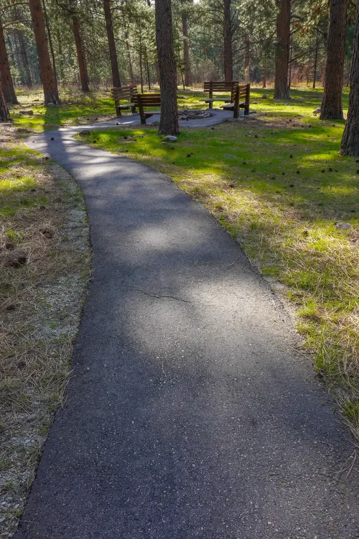 Larry Creek Group CampCampingPhoto: Recreation.gov (RIDB) / public domain4.7 mi
- Charles Waters CampgroundCamping4.8 mi
- Identity WallRock climbing6.9 mi
- Second ButtressRock climbing6.9 mi
- Kootenai CanyonRock climbing6.9 mi
Source: Roamze catalog (indexable pages within 10 miles, PostGIS distance)
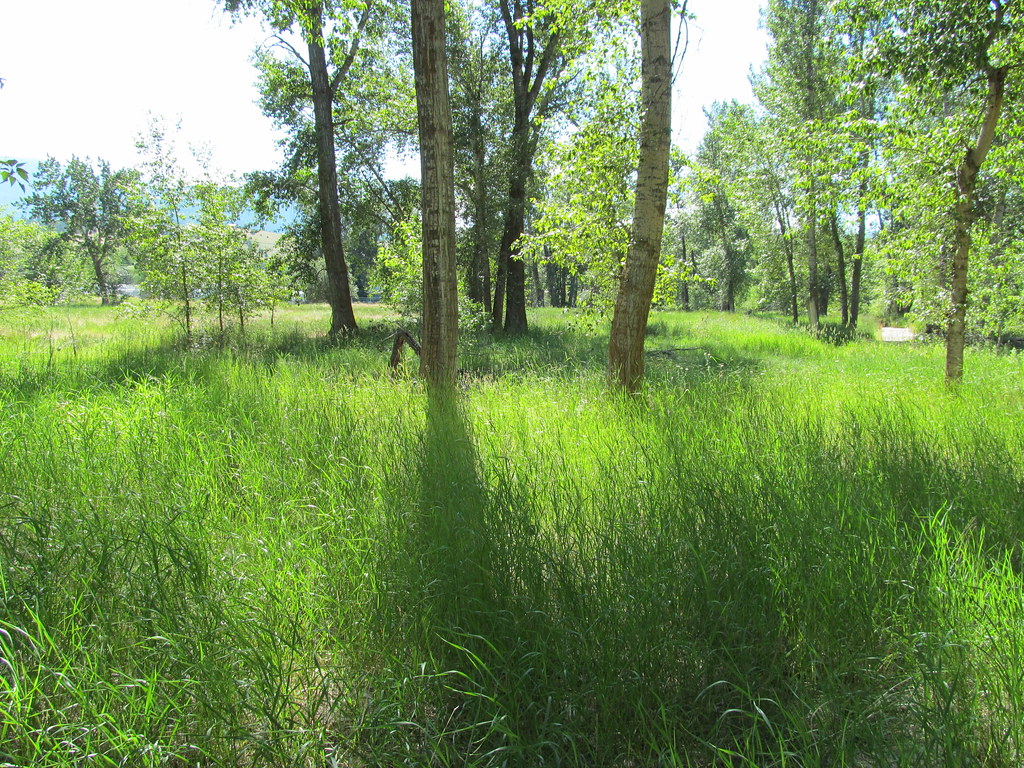 bitteroot runoff trailHiking · ~18 min drivePhoto: reverendlukewarm, CC BY-SA 2.0 (via Flickr)
 BLUE MTN M/C DEADMAN RIDGEHiking · ~23 min drivePhoto: Evan-Lovely, CC BY-SA 2.0 (via Flickr)
- Sweeney ViewpontHiking · ~6 min drive
- SPRUCE CREEK LAKEHiking · ~16 min drive
- Blue Mountain Bike Spur 2Hiking · ~23 min drive
- Little St. JoeHiking · ~6 min drive
- ONE HORSE LAKESHiking · ~6 min drive
- Horsehoe LoopHiking · ~6 min drive
- Sally Ridge TrailHiking · ~20 min drive
- Bass CreekHiking · ~6 min drive

