Salt Creek
- 1.0 mi
- round trip
- 1,219 ft
- climb
- 6,364 ft
- high point
- Out and back
- route
- Jun–Aug
- best months
Is SALT CREEK open right now?
Alert in the area
The Forest Service lists 4 alerts for Bitterroot National Forest.
Pile burning on West Fork Ranger, Darby-Sula & Stevi Nov. 16 to 19
Agency alert covering Bitterroot National Forest · USFS · Bitterroot National Forest
Pile burning on West Fork Ranger District end of October
Agency alert covering West Fork Ranger District · USFS · West Fork Ranger District
Pile burning on West Fork Ranger District Oct. 26
Agency alert covering West Fork Ranger District · USFS · West Fork Ranger District
Two Prescribed Burns Planned for the week of Oct. 5 - Piquett Creek & Cameron Gap
Agency alert covering Bitterroot National Forest · USFS · Bitterroot National Forest
As of · Source: USFS · Bitterroot National Forest. Agencies don't list every closure — check before you go.
Salt Creek is a moderate out-and-back hike of about 1.9 miles on the West Fork Ranger District of Montana's Bitterroot National Forest. The trail rises from 6,241 feet to 6,364 feet, with a total climb of about 1,219 feet for the round trip. The route is steady, and the steepest stretch comes at about 0.38 miles in, where the grade reaches 10 percent. Summer is the most comfortable time to go. Typical averages from a nearby weather station in Wisdom show July highs around 78°F with lows near 38°F, while winter highs stay in the mid-20s. The trip takes about an hour, and the trail starts within the Forest Service's West Fork Ranger District. Several other routes sit close by, including the West Fork Bitterroot River for paddling, the Salt/Johnson Creek hike and the Deer Creek hike, all within about 2.5 miles. For an overnight stay, Alta Campground is about 4.5 miles away.
- West Fork Bitterroot RiverCanoeing1.8 mi
- SALT/JOHNSON CREEKHiking1.9 mi
- Deer CreekHiking2.5 mi
- CHICKEN CREEKHiking2.6 mi
- SHEEP CREEKHiking2.7 mi
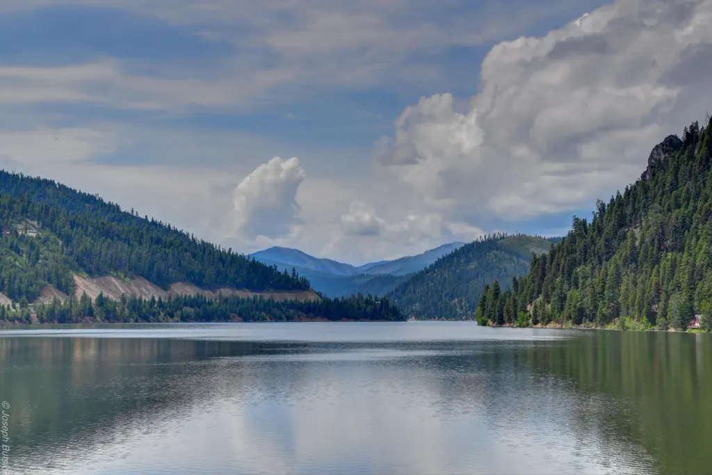 Alta CampgroundCampingPhoto: Recreation.gov (RIDB) / public domain4.5 mi
- Slate Creek CampgroundCamping9.7 mi
- Slate Creek Campground - Back LoopCamping9.7 mi
Source: Roamze catalog (indexable pages within 10 miles, PostGIS distance)
- Salt CreekHiking · Next door
- SALT CREEKHiking · ~2 min drive
- SHEEP CREEKHiking · ~5 min drive
- SALT/JOHNSON CREEKHiking · ~3 min drive
- HUGHES CREEKHiking · ~7 min drive
- Head of West ForkHiking · ~5 min drive
- CHICKEN CREEKHiking · ~4 min drive
- COAL CREEKHiking · ~11 min drive
- Thunder MountainHiking · ~5 min drive
- Chrandall CreekHiking · ~9 min drive
Best time to visit SALT CREEK
Best months: June–August. Best months have typical highs of 55–85 °F, lows of 30 °F or warmer (32 °F where the station doesn't record snow), at most one snowy day and no more than 12 wet days.
Jan
26° / 3°
8 wet
Feb
29° / 3°
8 wet
Mar
39° / 12°
8 wet
Apr
49° / 21°
9 wet
May
59° / 28°
12 wet
Jun
67° / 35°
11 wet
Jul
78° / 38°
8 wet
Aug
77° / 34°
7 wet
Sep
68° / 28°
7 wet
Oct
53° / 21°
8 wet
Nov
36° / 10°
9 wet
Dec
25° / 3°
9 wet
Typical high / low (°F) and days with rain or snow, 1991–2020. Measured at Wisdom, MT, 41.8 mi away at 6,060 ft. This station doesn't record snowfall. Source: NOAA NCEI U.S. Climate Normals 1991–2020.
