Coal Creek
- 1.0 mi
- round trip
- 747 ft
- climb
- 5,870 ft
- high point
- Out and back
- route
- May–Sep
- best months
Is COAL CREEK open right now?
Alert in the area
The Forest Service lists 4 alerts for Bitterroot National Forest.
Pile burning on West Fork Ranger, Darby-Sula & Stevi Nov. 16 to 19
Agency alert covering Bitterroot National Forest · USFS · Bitterroot National Forest
Pile burning on West Fork Ranger District end of October
Agency alert covering West Fork Ranger District · USFS · West Fork Ranger District
Pile burning on West Fork Ranger District Oct. 26
Agency alert covering West Fork Ranger District · USFS · West Fork Ranger District
Two Prescribed Burns Planned for the week of Oct. 5 - Piquett Creek & Cameron Gap
Agency alert covering Bitterroot National Forest · USFS · Bitterroot National Forest
As of · Source: USFS · Bitterroot National Forest. Agencies don't list every closure — check before you go.
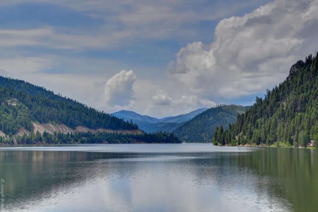
Coal Creek is an easy out-and-back hike in the West Fork Ranger District of Montana's Bitterroot National Forest, about a mile from the Forest Service's West Fork Ranger District boundary. The trail is roughly 2 miles long, with a total climb of about 750 feet, and it starts and ends near 5,845 feet, reaching a high point of about 5,870 feet. The route is short and gentle, with the steepest stretch coming about 0.4 miles in at a 12% grade. The trip takes about an hour, so it works well as a quick outing or a warm-up before exploring the surrounding area. Summer is the most comfortable time to go. Typical averages from a nearby weather station run to highs around 83°F in July and August, though that station sits about 1,400 feet lower, so temperatures on the trail run cooler. Winters are cold, with January highs near 29°F and lows around 11°F. Razorback Ridge is about a mile away, and Alta Campground is about 1.8 miles off. North Coal and Hughes Creek are both within about 3 miles.
- Razorback RidgeHiking1.1 mi
 Alta CampgroundCampingPhoto: Recreation.gov (RIDB) / public domain1.8 mi
- North CoalHiking2.9 mi
- HUGHES CREEKHiking3.1 mi
- West Fork Bitterroot RiverCanoeing4 mi
- Slate Creek CampgroundCamping4.6 mi
- Slate Creek Campground - Back LoopCamping4.6 mi
- Nez Perce ForkCanoeing9 mi
Source: Roamze catalog (indexable pages within 10 miles, PostGIS distance)
- COAL CREEKHiking · Next door
- Razorback RidgeHiking · ~2 min drive
- COAL CREEKHiking · ~2 min drive
- HUGHES CREEKHiking · ~5 min drive
- Fourth of July GulchHiking · ~5 min drive
- North CoalHiking · ~5 min drive
- TOOK CREEKHiking · ~7 min drive
- CHICKEN CREEKHiking · ~6 min drive
- TOOK CREEKHiking · ~8 min drive
- TOOK CREEKHiking · ~8 min drive
Best time to visit COAL CREEK
Best months: May–September. Best months have typical highs of 55–85 °F, lows of 30 °F or warmer (32 °F where the station doesn't record snow), at most one snowy day and no more than 12 wet days.
Jan
29° / 11°
Feb
36° / 13°
Mar
47° / 21°
Apr
56° / 29°
May
65° / 36°
Jun
72° / 42°
Jul
83° / 46°
Aug
83° / 44°
Sep
73° / 38°
Oct
58° / 30°
Nov
40° / 20°
Dec
30° / 11°
Typical high / low (°F) and days with rain or snow, 1991–2020. Measured at Gibbonsville #2, ID, 20.7 mi away at 4,480 ft. The station sits about 1,400 ft lower than this place, so expect it a little cooler here. This station doesn't record snowfall. Source: NOAA NCEI U.S. Climate Normals 1991–2020.
