Hanging Valley
- 5.1 mi
- round trip
- 1,391 ft
- climb
- 6,388 ft
- high point
- Out and back
- route
Is Hanging Valley open right now?
Closure in the area
There's a closure order in Kootenai National Forest. It doesn't name Hanging Valley, so check the source for the area it covers.
Kootenai Flood Event & Inaccessible Areas
Agency closure covering Kootenai National Forest · USFS · Kootenai National Forest
Updated Skillet Fire Area, Road, Trail Closure
Agency alert covering Kootenai National Forest · Order 01-10- · USFS · Kootenai National Forest
Trail Advisory-Alexander Mountain Trail near Timber Harvest Activities
Agency alert covering Libby Ranger District · USFS · Libby Ranger District
Timberlane Campground Closure
Agency alert covering Libby Ranger District · Order 01-14-05-26-03 · USFS · Libby Ranger District
As of · Source: USFS · Kootenai National Forest. Agencies don't list every closure — check before you go.
Hanging Valley is a 5.1-mile out-and-back hike in the Cabinet Mountains Wilderness, part of the Libby Ranger District of Kootenai National Forest in northwest Montana. The Forest Service manages the land, and the trail is rated easy with a one-way climb of about 1,390 feet, from a low of roughly 4,700 feet to a high of about 6,400 feet. The route is on natural surface, and bikes are not allowed. The climb is steady rather than steep, and the trail makes a straightforward day in the wilderness. Flower Creek lies just 0.3 miles away, and Indian Head and Minor Lake are both within about 2.3 miles. For an overnight base, Dorr Skeels Campground is about 9.5 miles off.
Local outfitters
- Kootenai River Campground16 mi away
- Indian Springs Montana49 mi away
Not on Roamze yet. Their page has how to reach them.
Keep exploring — more trails worth the drive
 Photo: Forest Service - Northern Region, Public Domain Mark (via Flickr)
Grambauer Ridge Tie
~7 min drive
4.72-mile out-and-back trail on Grambauer Ridge in Montana with 1,565 ft gain.
 Photo: Arbron, CC BY 2.0 (via Flickr)
Grambauer
~14 min drive
13.27-mile out-and-back trail in Montana with 4,915 ft elevation gain.
 Photo: Tony Webster, CC BY 2.0 (via Flickr)
Sheldon Mountain Tie M
~15 min drive
1.05-mile out-and-back trail in Montana with 149 ft elevation gain.
HIKE
Scenery Mountain Tie
~10 min drive
0.88-mile out-and-back trail in Montana with 536 ft elevation gain.
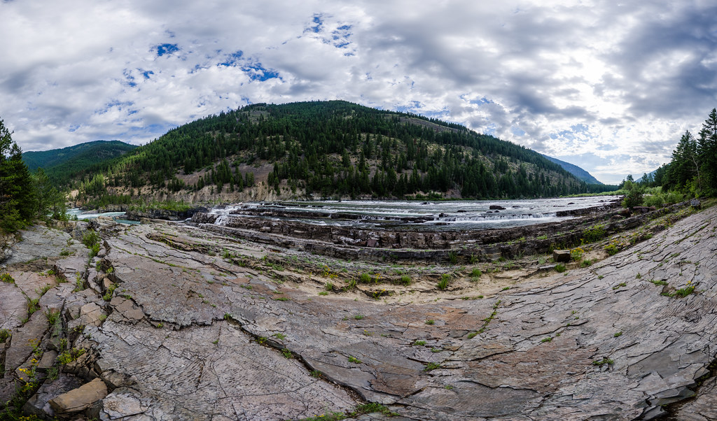 Photo: Arbron, CC BY 2.0 (via Flickr)
Bighorn Trail #42
~14 min drive
2.52-mile out-and-back trail in Montana with 1,331 ft elevation gain
HIKE
Flower Creek
Next door
12.02-mile out-and-back trail in Montana with 2,520 ft elevation gain.
HIKE
Flower Lake
~4 min drive
2.08-mile out-and-back trail to Flower Lake in Montana with 490 ft gain
HIKE
Sheldon Mountain Tie J
~16 min drive
0.64-mile out-and-back trail on Sheldon Mountain with 212 ft gain.
Photo: Tony Webster, CC BY 2.0 (via Flickr)Whoop Up
~16 min drive
2.97-mile out-and-back trail in Montana with 66 ft gain and 639 ft loss.
HIKE
Indian Head
~3 min drive
6.02-mile out-and-back trail in Montana with 5,522 ft elevation gain.

