Grinnell Glacier Trail
 Photo: Fredlyfish4, CC BY-SA 4.0 (via Wikimedia Commons)
- 3.4 mi
- round trip
- 5,215 ft
- climb
- 6,514 ft
- high point
- Out and back
- route
Is Grinnell Glacier Trail open right now?
Closure in the area
There's a closure order in Glacier National Park. It doesn't name Grinnell Glacier Trail, so check the source for the area it covers.
Going-to-the-Sun Road Seasonal Closure
Park closure covering Glacier National Park · NPS · Glacier National Park
As of · Source: NPS · Glacier National Park. Agencies don't list every closure — check before you go.
Grinnell Glacier Trail is a National Park Service route in Glacier National Park in Montana, a hike of about 6.7 miles with a round-trip elevation gain of roughly 5,215 feet. The trail starts at about 4,944 feet and climbs to about 6,514 feet at its high point, making it an expert-level route suited to hikers who can handle a steep climb and a long day on foot. The steepest part of the trail comes at about 1.2 miles in, where the grade reaches 27%. Plan for about five hours to complete the hike, and expect to retrace your steps on the return. Because the trail is out and back, the total gain and loss are both about 5,215 feet. Several shorter walks sit close by, including Josephine Walk and the South Shore Josephine Lake Trail, each about 0.4 miles away, and the North Shore Josephine Lake Trail at about 0.9 miles. Swiftcurrent Pass Trail is about 1.3 miles off.
Local outfitters
- North American RV Park & Yurt Village29 mi away
- Rocky Mountain Outfitter50 mi away
Not on Roamze yet. Their page has how to reach them.
 Josephine WalkHikingPhoto: Greg Willis from Denver, CO, usa, CC BY-SA 2.0 (via Wikimedia Commons)0.4 mi
- South Shore Josephine Lake TrailHikingPhoto: Greg Willis from Denver, CO, usa, CC BY-SA 2.0 (via Wikimedia Commons)0.4 mi
 North Shore Josephine Lake TrailHikingPhoto: Greg Willis from Denver, CO, usa, CC BY-SA 2.0 (via Wikimedia Commons)0.9 mi
- Swiftcurrent Lake TrailHikingPhoto: Greg Willis from Denver, CO, usa, CC BY-SA 2.0 (via Wikimedia Commons)0.9 mi
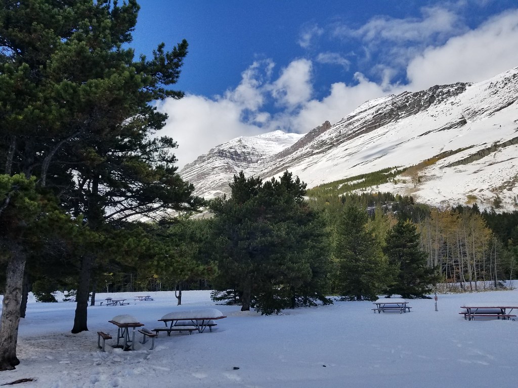 Swiftcurrent Motor Inn and CabinsHikingPhoto: astrophotography_andy, CC BY 2.0 (via Flickr)1.2 mi
- Swiftcurrent Pass TrailHiking1.3 mi
- Redrock Falls TrailHikingPhoto: astrophotography_andy, CC BY 2.0 (via Flickr)1.3 mi
 Saint Mary RiverCanoeingPhoto: Royalbroil, CC BY-SA 3.0 (via Wikimedia Commons)9 mi
Source: Roamze catalog (indexable pages within 10 miles, PostGIS distance)
- Josephine WalkHiking · Next doorPhoto: Greg Willis from Denver, CO, usa, CC BY-SA 2.0 (via Wikimedia Commons)
- North Shore Josephine Lake TrailHiking · ~1 min drivePhoto: Greg Willis from Denver, CO, usa, CC BY-SA 2.0 (via Wikimedia Commons)
- Swiftcurrent Motor Inn and CabinsHiking · ~2 min drivePhoto: astrophotography_andy, CC BY 2.0 (via Flickr)
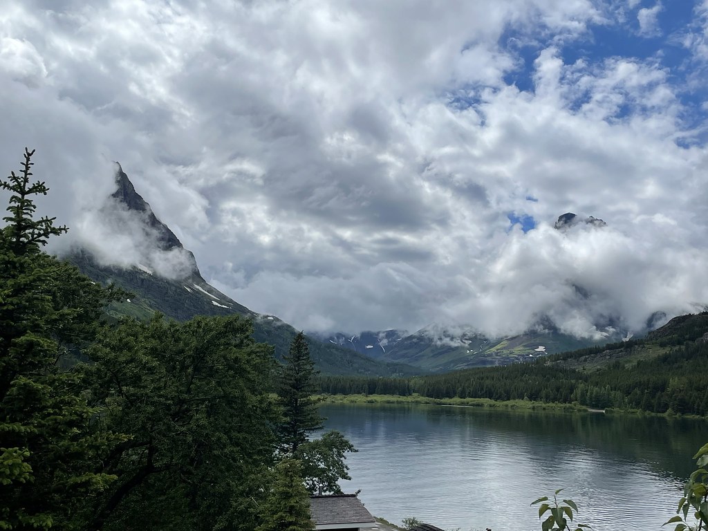 CDT fccCM - Chief Mountain Route to CanadaHiking · ~3 min drivePhoto: cjennr76, CC BY 2.0 (via Flickr)
 Highline TrailHiking · ~10 min drivePhoto: Public domain (via Wikimedia Commons)
- South Shore Josephine Lake TrailHiking · Next doorPhoto: Greg Willis from Denver, CO, usa, CC BY-SA 2.0 (via Wikimedia Commons)
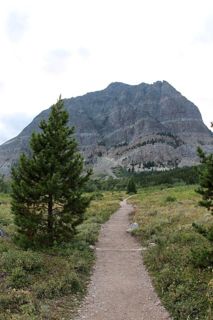 Apikuni Creek TrailHiking · ~5 min drivePhoto: daveynin, CC BY 2.0 (via Flickr)
 Grinnell Glacier TrailheadHiking · ~2 min drivePhoto: Greg Willis from Denver, CO, usa, CC BY-SA 2.0 (via Wikimedia Commons)
 Ptarmigan TrailHiking · ~5 min drivePhoto: Greg Willis from Denver, CO, usa, CC BY-SA 2.0 (via Wikimedia Commons)
 Flattop Mountain TrailHiking · ~11 min drivePhoto: Jon Gudorf Photography, CC BY-SA 2.0 (via Flickr)
Also worth it near here


Map and trail data © OpenStreetMap contributors
