Flattop Mountain Trail
 Photo: Jon Gudorf Photography, CC BY-SA 2.0 (via Flickr)
- 11.6 mi
- round trip
- 4,789 ft
- climb
- 6,861 ft
- high point
- Out and back
- route
Is Flattop Mountain Trail open right now?
Closure in the area
There's a closure order in Glacier National Park. It doesn't name Flattop Mountain Trail, so check the source for the area it covers.
Going-to-the-Sun Road Seasonal Closure
Park closure covering Glacier National Park · NPS · Glacier National Park
As of · Source: NPS · Glacier National Park. Agencies don't list every closure — check before you go.
Flattop Mountain Trail is an out-and-back route in Glacier National Park in Montana, managed by the National Park Service. The trail is 23 miles long, and the round trip climbs about 4,800 feet from a starting point at 3,678 feet to a high point of 6,861 feet. The climb is front-loaded, with the steepest stretch at about 3.3 miles in, where the grade reaches 24 percent. The route is rated expert, and the trip is estimated to take about 10 hours. The trail begins at the low point of 3,678 feet and rises to the summit of Flattop Mountain. The total gain and loss are each about 4,800 feet, so the route is as much about the descent as the ascent. Several other trails lie within a few miles. Granite Park Trail is about a mile away, and Packer's Roost Trail is about 1.3 miles off. Swiftcurrent Lookout Trail and Garden Wall Trail are both about 3 miles away.
Local outfitters
- North American RV Park & Yurt Village24 mi away
- Rocky Mountain Outfitter45 mi away
Not on Roamze yet. Their page has how to reach them.
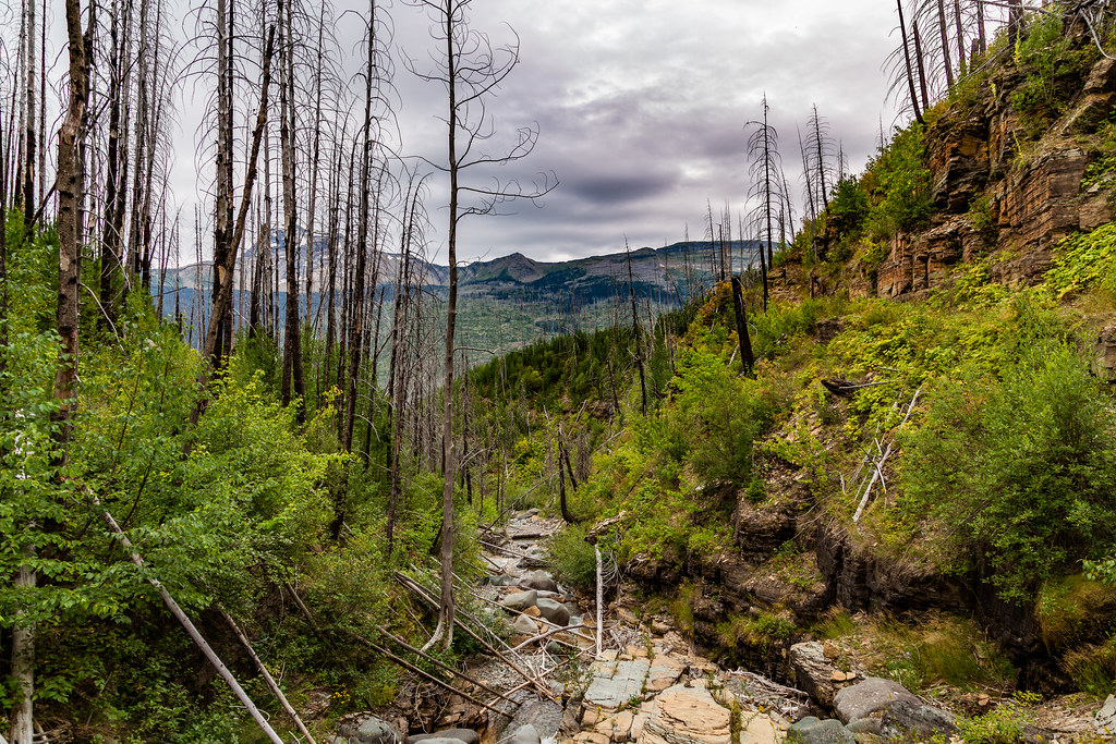 Granite Park TrailHikingPhoto: Tony Webster, CC BY 2.0 (via Flickr)1 mi
 Packer's Roost TrailHikingPhoto: zenm, CC BY 2.0 (via Flickr)1.3 mi
 Swiftcurrent Lookout TrailHikingPhoto: Greg Willis from Denver, CO, usa, CC BY-SA 2.0 (via Wikimedia Commons)2.9 mi
 Garden Wall TrailHikingPhoto: daveynin, CC BY 2.0 (via Flickr)3 mi
 Ahern Pass OverlookHikingPhoto: Greg Willis from Denver, CO, usa, CC BY-SA 2.0 (via Wikimedia Commons)4.7 mi
 Trail of the CedarsHikingPhoto: Ken Lund, CC BY-SA 2.0 (via Flickr)5.4 mi
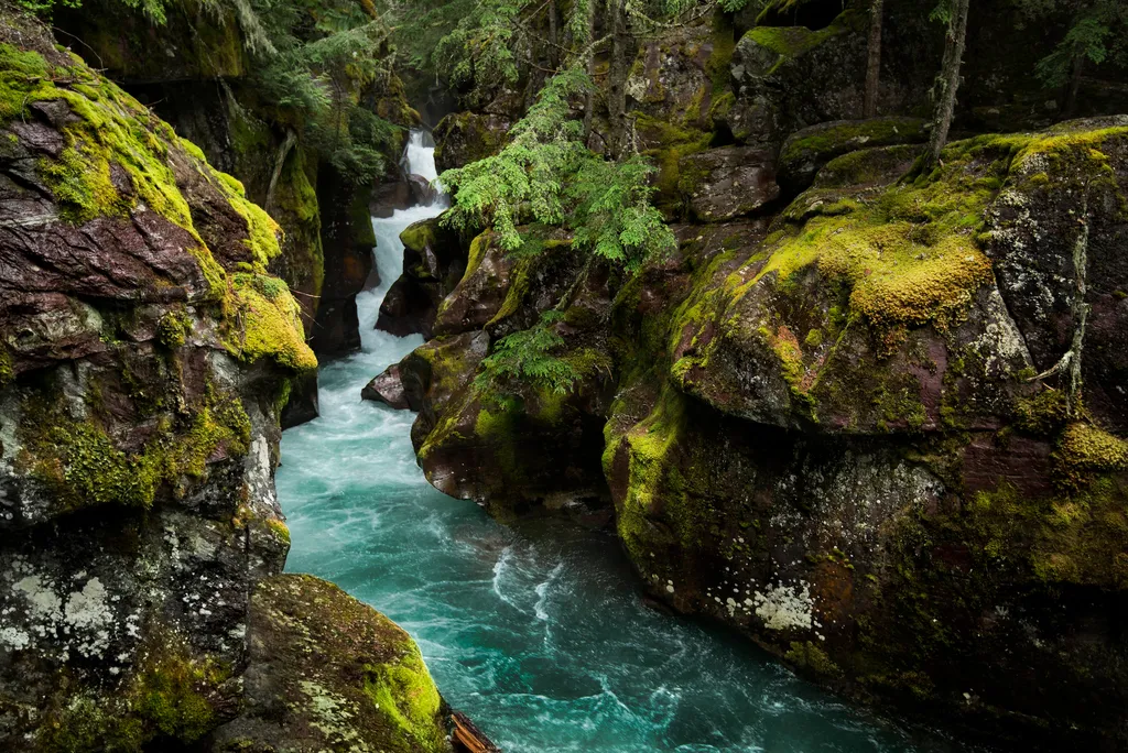 Avalanche CreekHikingPhoto: NPS / public domain5.5 mi
 Grinnell Lake TrailHikingPhoto: Greg Willis from Denver, CO, usa, CC BY-SA 2.0 (via Wikimedia Commons)5.5 mi
Source: Roamze catalog (indexable pages within 10 miles, PostGIS distance)
- Granite Park TrailHiking · ~2 min drivePhoto: Tony Webster, CC BY 2.0 (via Flickr)
- Packer's Roost TrailHiking · ~2 min drivePhoto: zenm, CC BY 2.0 (via Flickr)
- Ahern Pass OverlookHiking · ~8 min drivePhoto: Greg Willis from Denver, CO, usa, CC BY-SA 2.0 (via Wikimedia Commons)
- Trail of the CedarsHiking · ~9 min drivePhoto: Ken Lund, CC BY-SA 2.0 (via Flickr)
 Highline TrailHiking · ~11 min drivePhoto: Public domain (via Wikimedia Commons)
 Avalanche Campground TrailHiking · ~11 min drivePhoto: Greg Willis from Denver, CO, usa, CC BY-SA 2.0 (via Wikimedia Commons)
- Swiftcurrent Lookout TrailHiking · ~5 min drivePhoto: Greg Willis from Denver, CO, usa, CC BY-SA 2.0 (via Wikimedia Commons)
- Grinnell Lake TrailHiking · ~9 min drivePhoto: Greg Willis from Denver, CO, usa, CC BY-SA 2.0 (via Wikimedia Commons)
- Avalanche CreekHiking · ~9 min drive
 Grinnell Glacier TrailHiking · ~11 min drivePhoto: Fredlyfish4, CC BY-SA 4.0 (via Wikimedia Commons)


Map and trail data © OpenStreetMap contributors
