Grinnell Glacier Trailhead
 Photo: Greg Willis from Denver, CO, usa, CC BY-SA 2.0 (via Wikimedia Commons)
- Jun–Sep
- best months
Is Grinnell Glacier Trailhead open right now?
Closure in the area
There's a closure order in Glacier National Park. It doesn't name Grinnell Glacier Trailhead, so check the source for the area it covers.
Going-to-the-Sun Road Seasonal Closure
Park closure covering Glacier National Park · NPS · Glacier National Park
As of · Source: NPS · Glacier National Park. Agencies don't list every closure — check before you go.
Grinnell Glacier is a popular and mostly exposed hike with excellent views of wildflowers, mountains, glaciers, and more. The Grinnell Glacier Viewpoint is about five miles (eight kilometers), one way, from the Grinnell Glacier Trailhead. Another option is reserving concessioner boat tickets and getting dropped off 1.3 miles (2.1 kilometers) closer to the viewpoint. Grinnell Glacier Viewpoint [Option A] Distance: 5.0 mi (8.0 km), one way Elevation gain: 2,596 ft (791 m) Elevation loss: 1,015 ft (309 m) Trailhead: Grinnell Glacier Trailhead Grinnell Glacier Viewpoint [Option B] Distance: 3.7 mi (6.0 km), one way Elevation gain: 2,461 ft (750 m) Elevation loss: 871 ft (265 m) Trailhead: Concessioner boat dropoff from Many Glacier Hotel While in Glacier National Park, please maintain extra awareness around water, steep dropoffs, and wildlife. You are responsible for your own safety.
Local outfitters
- North American RV Park & Yurt Village30 mi away
Not on Roamze yet. Their page has how to reach them.
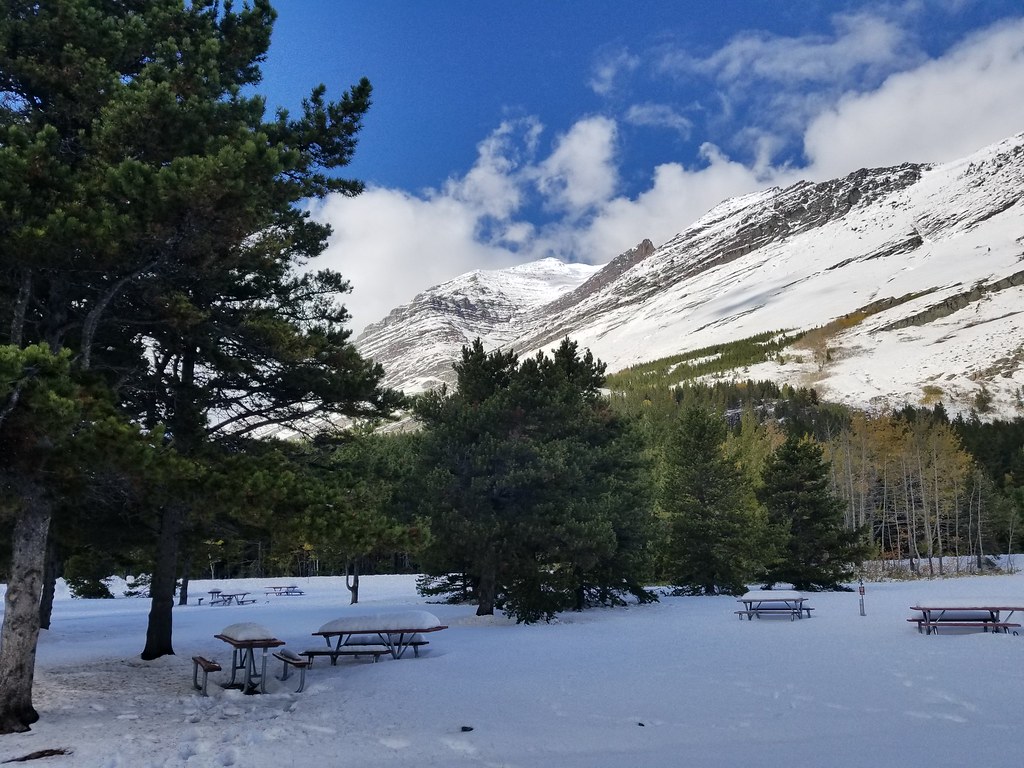 Swiftcurrent Motor Inn and CabinsHiking · Next doorPhoto: astrophotography_andy, CC BY 2.0 (via Flickr)
 Swiftcurrent Lake TrailHiking · Next doorPhoto: lamblukas, CC BY 2.0 (via Flickr)
 North Shore Josephine Lake TrailHiking · Next doorPhoto: Greg Willis from Denver, CO, usa, CC BY-SA 2.0 (via Wikimedia Commons)
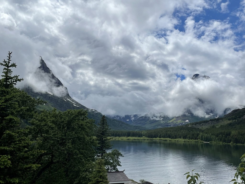 CDT fccCM - Chief Mountain Route to CanadaHiking · Next doorPhoto: cjennr76, CC BY 2.0 (via Flickr)
 Grinnell Glacier TrailHiking · ~2 min drivePhoto: Fredlyfish4, CC BY-SA 4.0 (via Wikimedia Commons)
- Iceberg Lake TrailheadHiking · Next doorPhoto: astrophotography_andy, CC BY 2.0 (via Flickr)
- Swiftcurrent Lake TrailHiking · ~1 min drivePhoto: Greg Willis from Denver, CO, usa, CC BY-SA 2.0 (via Wikimedia Commons)
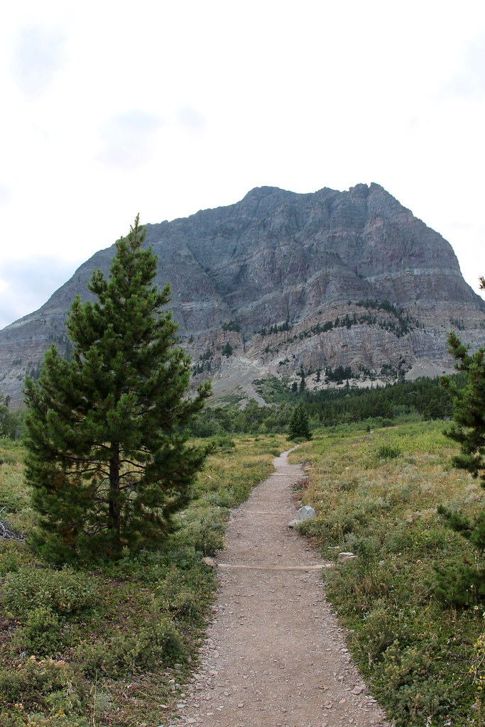 Apikuni Creek TrailHiking · ~3 min drivePhoto: daveynin, CC BY 2.0 (via Flickr)
 Ptarmigan TrailHiking · ~4 min drivePhoto: Greg Willis from Denver, CO, usa, CC BY-SA 2.0 (via Wikimedia Commons)
 Highline TrailHiking · ~13 min drivePhoto: Public domain (via Wikimedia Commons)
Best time to visit Grinnell Glacier Trailhead
Best months: June–September. Best months have typical highs of 55–85 °F, lows of 30 °F or warmer (32 °F where the station doesn't record snow), at most one snowy day and no more than 12 wet days.
Jan
32° / 15°
15 wet
Feb
31° / 14°
14 wet
Mar
38° / 20°
16 wet
Apr
45° / 28°
14 wet
May
56° / 35°
13 wet
Jun
63° / 42°
12 wet
Jul
73° / 46°
9 wet
Aug
73° / 45°
8 wet
Sep
63° / 39°
9 wet
Oct
49° / 32°
12 wet
Nov
37° / 25°
14 wet
Dec
31° / 17°
15 wet
Typical high / low (°F) and days with rain or snow, 1991–2020. Measured at St. Mary 1 Ssw, MT, 11.4 mi away at 4,555 ft. This station doesn't record snowfall. Source: NOAA NCEI U.S. Climate Normals 1991–2020.


