

North American RV Park & Yurt Village
Hiking business nearby (~31 mi away) — hasn't claimed their Roamze page yet
Free — you'll pick up right here.
Watch this trail
Sign up to watch it — saving subscribes you to gate, closure and report changes.
Montana
55.4 mi
Distance
2,927 ft
Gain
19h 56m
Time
Weather is good
1 factor · 1 source
Observed 5 h ago
clear: Weather
Clear, high 62°F / low 36°F, 0% precip — 99/100 for hike
OpenWeather5 h ago
Been out here in the last few days? One report keeps this current for everyone.
Why you'll love it
CDT fccCM - Chief Mountain Route to Canada
AI-suggested draft · review before you go
No permit or access details on file for this trail — check with the local land manager before you go.
This remote 55-mile section of the Continental Divide Trail traverses high alpine terrain from the Chief Mountain area toward the Canadian border, offering expansive views across the Northern Rockies. The route follows the spine of the divide through exposed ridgelines and mountain passes, with significant elevation changes and challenging weather exposure. This is a serious backcountry undertaking best suited for experienced hikers comfortable with navigation and self-sufficiency in wilderness conditions.
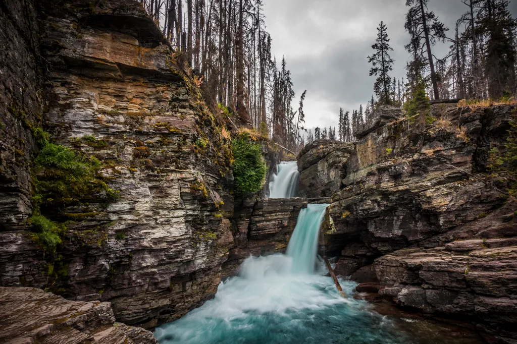
St. Mary Falls Trail
~16 min drive
St. Mary Falls is an iconic, double waterfall of clear blue water just above St. Mary Lake. Fires burned through the forest in this area in 2015, meaning the trail has little shade. Because there are a variety of ways to reach St. Mary Falls, please consult a map before settin…
Piegan Pass Trail
~1 min drive
Remote 34-mile alpine backcountry route with 2,073 ft elevation gain.
Iceberg Lake Trail
~7 min drive
Scenic alpine lake hike with mountain views and possible icebergs.
Helen Lake Trail
~12 min drive
Moderate 8.39-mile hike to scenic alpine lake with gentle elevation gain.
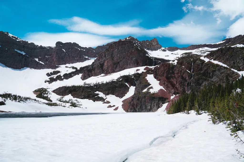
Otokomi Lake Trailhead
~17 min drive
This trail takes you to Otokomi Lake, which is surrounded with dramatic, red cliffs. Along the way, you'll pass several waterfalls, hike through the Reynolds Creek fire scar, and be treated to intermittent mountain views. Otokomi Lake Distance: 5.5 mi (8.8 km), one way Eleva…
Ptarmigan Trail
~5 min drive
Long, gentle alpine trail with excellent wildlife viewing opportunities.
Mokowanis Lake Trail
~16 min drive
Easy 2.76-mile alpine lake hike with modest elevation gain.
North Boundary Trail
~30 min drive
Moderate 10.64-mile backcountry trail with 856 ft elevation gain in northern Montana.
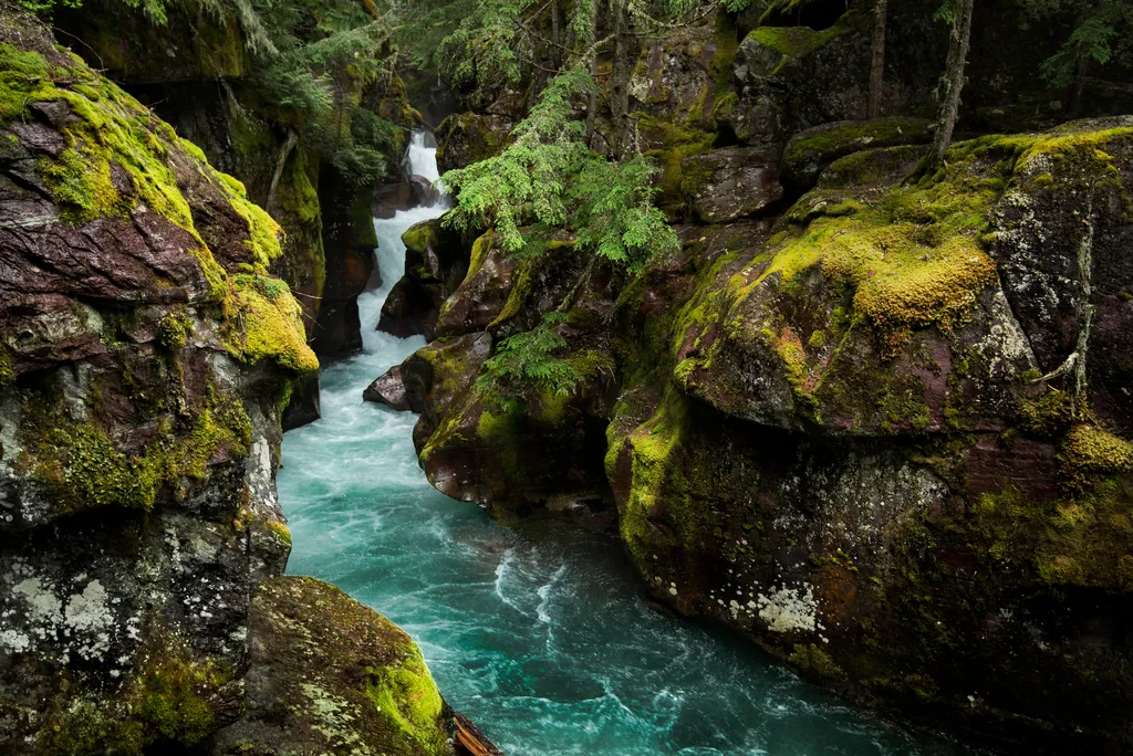
Avalanche Creek
~19 min drive
Home to two of the Glacier's iconic trails, the Avalanche Creek area is one of the most popular and crowded spots in the park. The old growth cedars and hemlock trees are unlike anywhere else in the Glacier. Enjoy the picnic area, a short boardwalk trail, or a moderate hike t…
Siyeh Pass Trail
~10 min drive
Challenging 15.3-mile alpine pass trail with 1,923 ft elevation gain.
Local operatorsoffering guided trips. You book directly with them — Roamze doesn’t take a cut.
North American RV Park & Yurt Village
Hiking business nearby (~31 mi away) — hasn't claimed their Roamze page yet