Great Falls Creek
- 17.7 mi
- round trip
- 2,878 ft
- climb
- 10,148 ft
- high point
- Out and back
- route
Is Great Falls Creek open right now?
Closure in the area
There's a closure order in Yellowstone Ranger District. It doesn't name Great Falls Creek, so check the source for the area it covers (13 listed).
East Fork of the Mill Creek Trail Bridge Stock Closure
Agency closure covering Yellowstone Ranger District · Order 01-11-04-26-03 · USFS · Yellowstone Ranger District
NFSR #1700 South Plateau Road Closure
Agency closure covering Custer Gallatin National Forest · USFS · Custer Gallatin National Forest
Hyalite Porcupine Buffalo Horn Summer Interim Travel Order and Map and Order # 01-11-00-26-02
Agency closure covering Custer Gallatin National Forest · Order 01-11-00-26-02 · USFS · Custer Gallatin National Forest
Hyalite Porcupine Buffalo Horn Winter Interim Travel Order and Map Order Number: #01-11-00-26-01
Agency closure covering Custer Gallatin National Forest · USFS · Custer Gallatin National Forest
Glacier Lake Road #2421 Closure Order Number: # 01-11-82-26- 01
Agency closure covering Custer Gallatin National Forest · Order 01-11-82-26- · USFS · Custer Gallatin National Forest
As of · Source: USFS · Yellowstone Ranger District. Agencies don't list every closure — check before you go.
Great Falls Creek is a hard hike in the Absaroka-Beartooth Wilderness, part of the Yellowstone Ranger District of Custer Gallatin National Forest in Montana. The route is an out-and-back that climbs from about 5,262 feet to 10,148 feet, a total gain of 2,878 feet over 17.7 miles. The trail is on natural surface, and horses are allowed, while bikes are not. The trip starts at the Great Falls parking area, and the trail is open year-round. Two campgrounds sit within about a mile and a quarter: Big Beaver and Aspen. The Boulder River-Great Falls Trail and the Falls Creek hike are also close by.
Local outfitters
- Yellowstone Safari Company42 mi away
Not on Roamze yet. Their page has how to reach them.
- Big BeaverCamping1 mi
- AspenCamping1.2 mi
- Boulder River-Great Falls TrailHiking1.4 mi
- Falls CreekHiking1.5 mi
- Chippy ParkCamping2.4 mi
- SpeculatorHiking5.1 mi
- Natural Bridge and FallsRock climbing5.7 mi
- Blueberry WallRock climbing5.8 mi
Source: Roamze catalog (indexable pages within 10 miles, PostGIS distance)
 Green MountainHiking · ~10 min drivePhoto: Forest Service - Northern Region, Public Domain Mark (via Flickr)
- East Rim of Natural BridgeHiking · ~10 min drivePhoto: Forest Service - Northern Region, Public Domain Mark (via Flickr)
 Initial CreekHiking · ~24 min drivePhoto: Jstuby at en.wikipedia, Public domain (via Wikimedia Commons)
- Falls CreekHiking · ~3 min drive
 Grouse CreekHiking · ~12 min drivePhoto: Forest Service - Northern Region, Public Domain Mark (via Flickr)
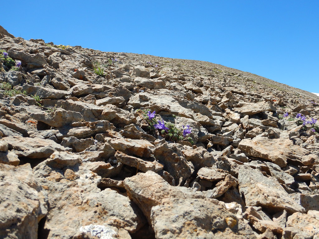 Blacktail LakeHiking · ~19 min drivePhoto: Matt Lavin, CC BY-SA 2.0 (via Flickr)
- Boulder River-Great Falls TrailHiking · ~2 min drive
- ElephantheadHiking · ~21 min drive
 FourmileHiking · ~15 min drivePhoto: Forest Service - Northern Region, Public Domain Mark (via Flickr)
- Lost CreekHiking · ~12 min drive

