Garden Wall Trail
 Photo: daveynin, CC BY 2.0 (via Flickr)
- 0.8 mi
- round trip
- 2,081 ft
- climb
- 7,562 ft
- high point
- Out and back
- route
Is Garden Wall Trail open right now?
Closure in the area
There's a closure order in Glacier National Park. It doesn't name Garden Wall Trail, so check the source for the area it covers.
Going-to-the-Sun Road Seasonal Closure
Park closure covering Glacier National Park · NPS · Glacier National Park
As of · Source: NPS · Glacier National Park. Agencies don't list every closure — check before you go.
Garden Wall Trail is a moderate hike in Glacier National Park in Montana, managed by the National Park Service. The trail is about 0.8 miles from the park's boundaries, and the route is an out-and-back that covers roughly 1.7 miles with a total elevation gain of about 2,081 feet. The climb is front-loaded, with the steepest stretch coming at about 0.5 miles in, where the grade reaches about 43%. The trail starts at around 6,626 feet and reaches a high point of about 7,562 feet before returning to the starting elevation. Swiftcurrent Lookout Trail is the closest neighbor, about 0.8 miles away. Granite Park Trail, Packer's Roost Trail and Grinnell Lake Trail all lie within about 2.6 miles.
Local outfitters
- North American RV Park & Yurt Village26 mi away
- Rocky Mountain Outfitter47 mi away
Not on Roamze yet. Their page has how to reach them.
 Swiftcurrent Lookout TrailHikingPhoto: Greg Willis from Denver, CO, usa, CC BY-SA 2.0 (via Wikimedia Commons)0.8 mi
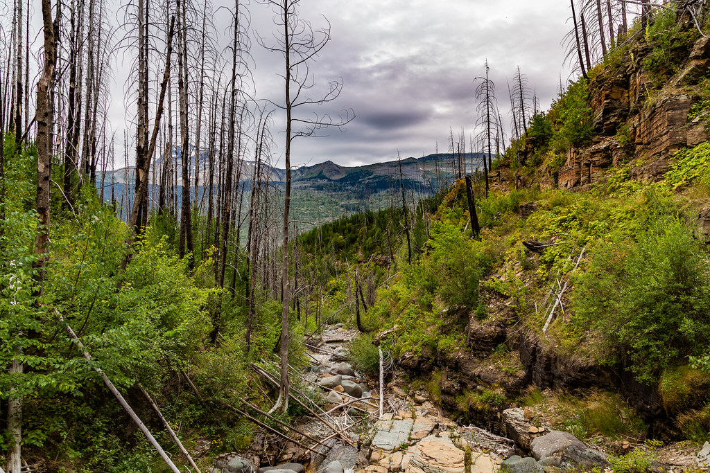 Granite Park TrailHikingPhoto: Tony Webster, CC BY 2.0 (via Flickr)2.1 mi
 Packer's Roost TrailHikingPhoto: zenm, CC BY 2.0 (via Flickr)2.2 mi
 Grinnell Lake TrailHikingPhoto: Greg Willis from Denver, CO, usa, CC BY-SA 2.0 (via Wikimedia Commons)2.6 mi
 Feather Plume CutoffHikingPhoto: Bas van Oorschot, CC BY-SA 3.0 (via Wikimedia Commons)2.8 mi
 Flattop Mountain TrailHikingPhoto: Jon Gudorf Photography, CC BY-SA 2.0 (via Flickr)3 mi
 Josephine WalkHikingPhoto: Greg Willis from Denver, CO, usa, CC BY-SA 2.0 (via Wikimedia Commons)3.4 mi
 Saint Mary RiverCanoeingPhoto: Royalbroil, CC BY-SA 3.0 (via Wikimedia Commons)9.3 mi
Source: Roamze catalog (indexable pages within 10 miles, PostGIS distance)
- Swiftcurrent Lookout TrailHiking · ~1 min drivePhoto: Greg Willis from Denver, CO, usa, CC BY-SA 2.0 (via Wikimedia Commons)
- Granite Park TrailHiking · ~4 min drivePhoto: Tony Webster, CC BY 2.0 (via Flickr)
- Grinnell Lake TrailHiking · ~4 min drivePhoto: Greg Willis from Denver, CO, usa, CC BY-SA 2.0 (via Wikimedia Commons)
- Flattop Mountain TrailHiking · ~5 min drivePhoto: Jon Gudorf Photography, CC BY-SA 2.0 (via Flickr)
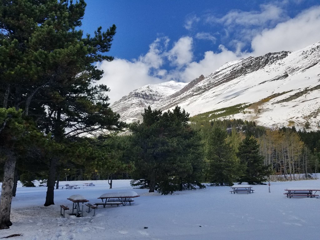 Iceberg Lake TrailheadHiking · ~7 min drivePhoto: astrophotography_andy, CC BY 2.0 (via Flickr)
- Packer's Roost TrailHiking · ~4 min drivePhoto: zenm, CC BY 2.0 (via Flickr)
 Ptarmigan TrailHiking · ~7 min drivePhoto: Greg Willis from Denver, CO, usa, CC BY-SA 2.0 (via Wikimedia Commons)
- Feather Plume CutoffHiking · ~5 min drivePhoto: Bas van Oorschot, CC BY-SA 3.0 (via Wikimedia Commons)
 Grinnell Glacier TrailHiking · ~6 min drivePhoto: Fredlyfish4, CC BY-SA 4.0 (via Wikimedia Commons)
- Redrock Falls TrailHiking · ~7 min drivePhoto: astrophotography_andy, CC BY 2.0 (via Flickr)


Map and trail data © OpenStreetMap contributors
