Big Snowy Trail
- 15.1 mi
- round trip
- 2,474 ft
- climb
- 8,611 ft
- high point
- Out and back
- route
Big Snowy Trail is a 15.1-mile out-and-back hike on Bureau of Land Management land in the Billings Field Office in Montana. The route rises from about 5,769 feet to about 8,611 feet, a total gain of 2,474 feet, and is rated hard. The trail is natural-surface and allows horses and bikes. It is not an accessible trail, according to the Forest Service's accessibility status. Maynard Ridge lies about 4.7 miles away, and Bad Canyon is about 6.3 miles off. Swimming Woman Alt and Southside are both within about 7 miles.
Conditions and forecast on Old Baldy
Daily highs and lows, wind and the chance of precipitation at the summit and route start for the next 7 days, from the Open-Meteo model.
- Maynard RidgeHiking4.7 mi
- Bad CanyonHiking6.3 mi
- Swimming Woman AltHiking6.7 mi
- SouthsideHiking7.2 mi
- Swimming WomanHiking7.2 mi
- E. Fk. Big Spring CreekHiking9.9 mi
Source: Roamze catalog (indexable pages within 10 miles, PostGIS distance)
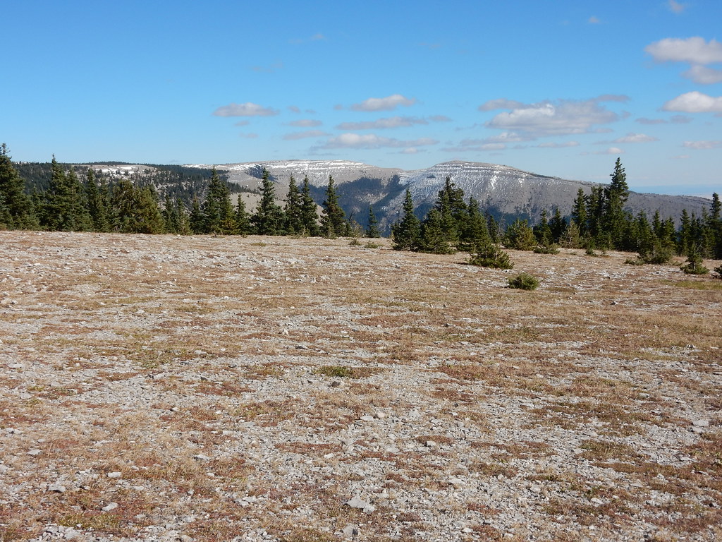 West PeakHiking · ~25 min drivePhoto: Matt Lavin, CC BY-SA 2.0 (via Flickr)
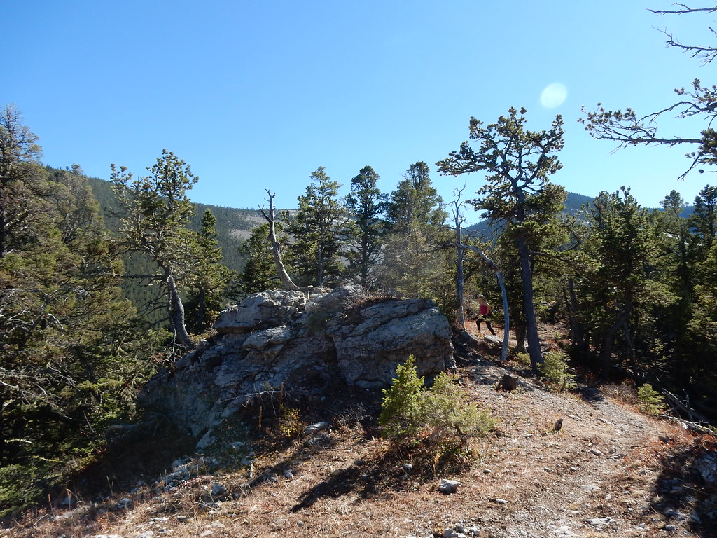 UhlhornHiking · ~26 min drivePhoto: Matt Lavin, CC BY-SA 2.0 (via Flickr)
 Grand ViewHiking · ~27 min drivePhoto: Matt Lavin, CC BY-SA 2.0 (via Flickr)
- Maynard RidgeHiking · ~8 min drive
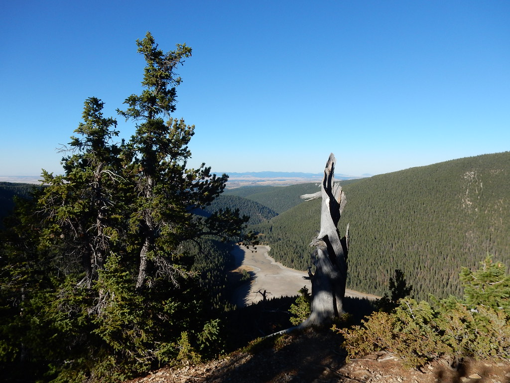 Crystal Lk Stock BypassHiking · ~26 min drivePhoto: Matt Lavin, CC BY-SA 2.0 (via Flickr)
- E. Fk. Big Spring CreekHiking · ~17 min drive
- Bad CanyonHiking · ~11 min drive
- Crystal Lake LoopHiking · ~26 min drivePhoto: Matt Lavin, CC BY-SA 2.0 (via Flickr)
- East Fork Cottonwood CreekHiking · ~23 min drive
- SouthsideHiking · ~12 min drive
Route details
- Distance
- 15.1 mi round trip
- Climbing
- About 2,474 ft
- Summit
- 8,684 ft
- Difficulty
- Hard
- Time
- About 6.5 hours
Season
Season: Year-round.
Other routes up Old Baldy
Questions about this route
How long is the Big Snowy Trail on Old Baldy?
About 15.1 mi round trip.
How much elevation gain is on the Big Snowy Trail?
About 2,474 ft of climbing round trip.
How hard is the Big Snowy Trail?
It is rated hard.
How long does the Big Snowy Trail take?
About 6.5 hours round trip.
When is the best time for the Big Snowy Trail?
Year-round.
How many routes go up Old Baldy?
2: Maynard Ridge and Big Snowy Trail.
