Holbrook-2
Campground
Campground · 2.0 mi from the trail
Caution today
Agency alerts are in effect for this area; weather is marginal · USFS, OpenWeather · checked 11 h ago
Alert in the area
The Forest Service lists 6 alerts for Flathead National Forest.
Ashley Lake North Campground Closure
Agency alert covering Flathead National Forest · Order 01-10- · USFS · Flathead National Forest
Camp Creek Fire Updated Trail Closure
Agency alert covering Flathead National Forest · Order 01-10- · USFS · Flathead National Forest
FK&L Area Closed to Public Access Starting July 22, 2026
Agency alert covering Flathead National Forest · Order 01-10- · USFS · Flathead National Forest
Trail 800 Tally-Ashely Closure
Agency alert covering Flathead National Forest · Order 01-10- · USFS · Flathead National Forest
Ryan Creek Occupancy and Use Order
Agency alert covering Flathead National Forest · Order 1-10- · USFS · Flathead National Forest
As of · Source: USFS · Flathead National Forest. Agencies don't list every closure — check before you go.
Runaway Train is a mountain biking route in Montana's Flathead National Forest, within the Tally Lake Ranger District. It is a 2.9-mile climb that gains about 1,800 feet, taking riders from roughly 6,650 feet up to about 6,670 feet. The route is steep right from the start, with the steepest stretch around 0.2 miles in at about 30% grade. The trailhead sits within a cluster of mountain biking routes. Danny On Trail lies about 0.2 miles away and East Rim about 0.4 miles, and the Gnr route is about 0.5 miles off. Hikers can reach Kashmir and Freebird, both about half a mile away. The nearest campground is Moose Lake Campground, roughly 9.5 miles away. Big Creek offers canoeing about 6.5 miles away.
Holbrook-2
Campground
Summit House
Restaurant
Places © OpenStreetMap contributors
More in WhitefishNot on Roamze yet. Their page has how to reach them.
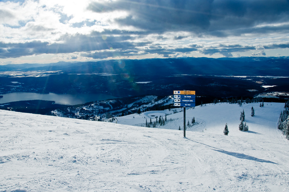
 KashmirHikingPhoto: Donnie Clapp for Whitefish Mountain Resort, CC BY-SA 4.0 (via Wikimedia Commons)0.5 mi
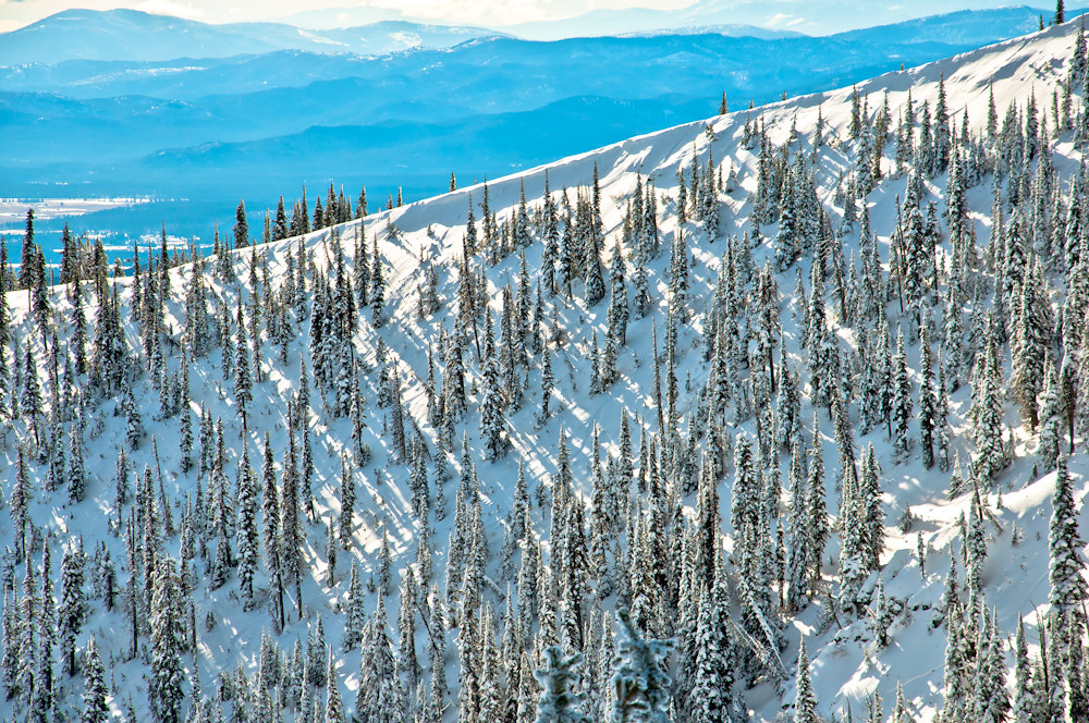
 FreebirdHikingPhoto: Slipshod Photog, CC BY 2.0 (via Flickr)0.5 mi
 East Rim LoopHikingPhoto: Slipshod Photog, CC BY 2.0 (via Flickr)0.5 mi
Source: Roamze catalog (indexable pages within 10 miles, PostGIS distance)
Also worth it near here
Map and trail data © OpenStreetMap contributors
