Sykes Mountain Trail
- 3.0 mi
- round trip
- 1,454 ft
- climb
- 4,476 ft
- high point
- Out and back
- route
- Apr–Jun, Aug–Oct
- best months
Is Sykes Mountain Trail open right now?
Closure in the area
There's a closure order in Bighorn Canyon National Recreation Area. It doesn't name Sykes Mountain Trail, so check the source for the area it covers.
No Water Available at Ok-A-Beh Marina - Flushing Restrooms Closed
Park closure covering Bighorn Canyon National Recreation Area · NPS · Bighorn Canyon National Recreation Area
As of · Source: NPS · Bighorn Canyon National Recreation Area. Agencies don't list every closure — check before you go.
Sykes Mountain Trail is a 6.1-mile out-and-back hike in Bighorn Canyon National Recreation Area in Wyoming, managed by the National Park Service. The trail starts at 3,764 feet and climbs to a high point of 4,476 feet, with a total elevation gain of 1,454 feet over the round trip. The climb is front-loaded, and the steepest stretch comes at about 1.1 miles in, where the grade reaches 36 percent. Summer is the most comfortable time to go. Typical averages from a nearby weather station in Lovell, Wyoming, show July highs around 86°F with lows near 56°F, while winter highs stay in the low 30s. The hike takes about three hours. Horseshoe Bend Marina and the Mouth of the Canyon Trail are both within about a mile and a half. Crooked Creek Plateau and Stateline are each about 3 miles away.
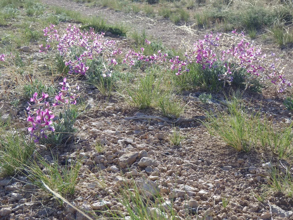 Horseshoe Bend MarinaHikingPhoto: Matt Lavin from Bozeman, Montana, USA — Wikimedia Commons (CC BY-SA 2.0)1.2 mi
- Mouth of the Canyon TrailHiking1.3 mi
- Crooked Creek PlateauHiking3.1 mi
- StatelineHiking3.1 mi
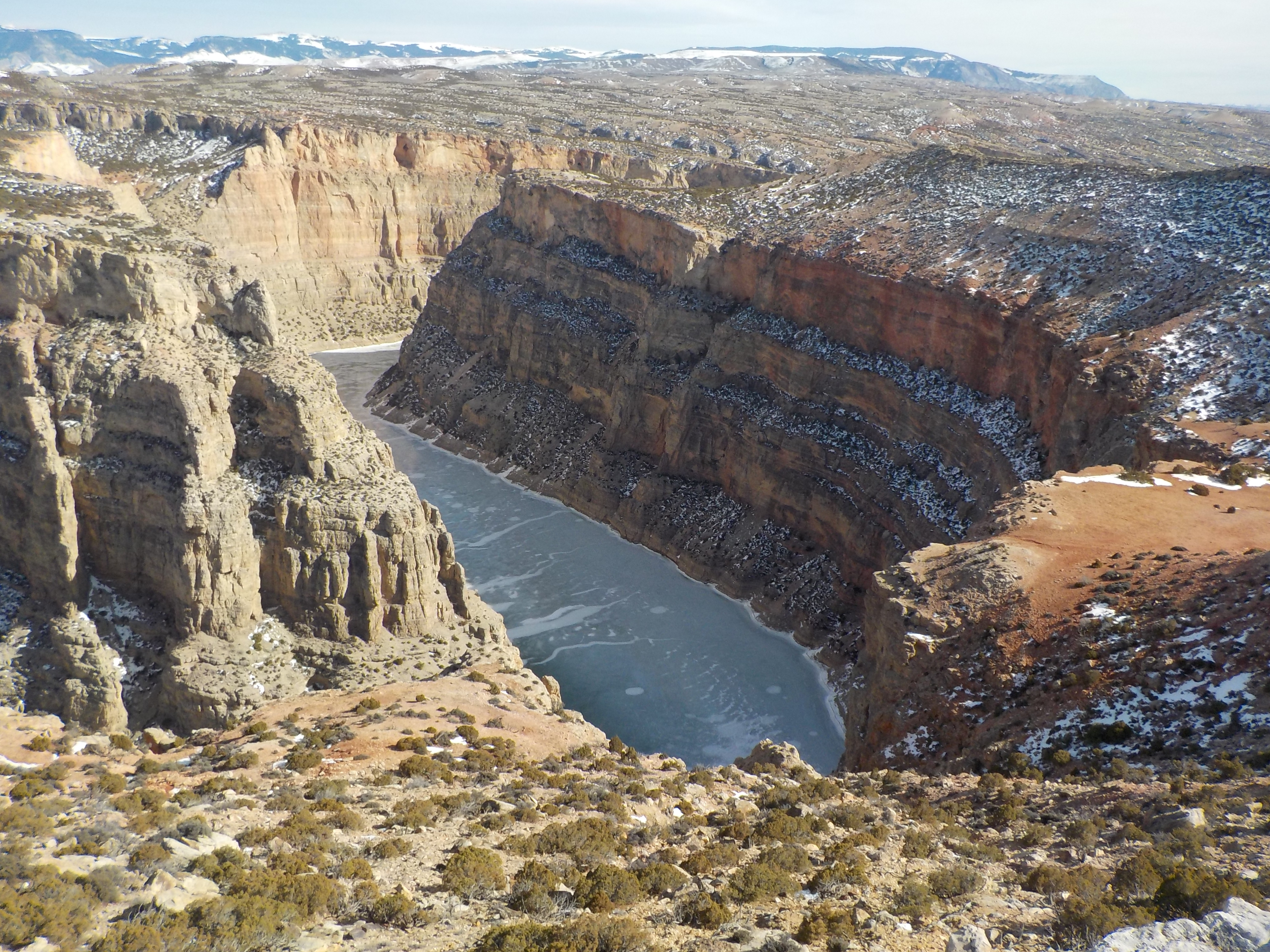 Ranger's Delight TrailHikingPhoto: Kjnpta — Wikimedia Commons (CC BY-SA 4.0)3.6 mi
 Ranger's DelightHikingPhoto: Greg_Hanson, CC BY 2.0 (via Flickr)3.7 mi
 DCO RidgeHikingPhoto: Mobilus In Mobili, CC BY-SA 2.0 (via Flickr)4.8 mi
- Sullivans KnobHikingPhoto: Mobilus In Mobili, CC BY-SA 2.0 (via Flickr)5.5 mi
Source: Roamze catalog (indexable pages within 10 miles, PostGIS distance)
- Horseshoe Bend MarinaHiking · ~2 min drive
- Ranger's DelightHiking · ~6 min drivePhoto: Greg_Hanson, CC BY 2.0 (via Flickr)
- South PastureHiking · ~18 min drive
- Mexican HillHiking · ~28 min drive
- Lodge GrassHiking · ~36 min drive
- Ranger's Delight TrailHiking · ~6 min drive
- DCO RidgeHiking · ~8 min drivePhoto: Mobilus In Mobili, CC BY-SA 2.0 (via Flickr)
- nullHiking · ~18 min drive
- FullerHiking · ~48 min drive
- Big PryorHiking · ~37 min drive
Best time to visit Sykes Mountain Trail
Best months: April–June and August–October. Best months have typical highs of 55–85 °F, lows of 30 °F or warmer (32 °F where the station doesn't record snow), at most one snowy day and no more than 12 wet days.
Jan
31° / 7°
2 wet · 1 snow
Feb
36° / 12°
2 wet · 2 snow
Mar
50° / 23°
3 wet · 1 snow
Apr
58° / 31°
5 wet
May
67° / 42°
7 wet
Jun
78° / 50°
7 wet
Jul
86° / 56°
4 wet
Aug
85° / 52°
3 wet
Sep
74° / 43°
4 wet
Oct
59° / 32°
4 wet
Nov
44° / 20°
2 wet · 1 snow
Dec
33° / 10°
2 wet · 1 snow
Typical high / low (°F) and days with rain or snow, 1991–2020. Measured at Lovell, WY, 10.1 mi away at 3,847 ft. The station sits about 600 ft lower than this place, so expect it a little cooler here. Source: NOAA NCEI U.S. Climate Normals 1991–2020.
Map and trail data © OpenStreetMap contributors
