Sullivans Knob
 Photo: Mobilus In Mobili, CC BY-SA 2.0 (via Flickr)
- 0.5 mi
- distance
- 51 ft
- climb
- 4,380 ft
- high point
- Lollipop
- route
- Apr–Jun, Aug–Oct
- best months
Is Sullivans Knob open right now?
Closure in the area
There's a closure order in Bighorn Canyon National Recreation Area. It doesn't name Sullivans Knob, so check the source for the area it covers.
No Water Available at Ok-A-Beh Marina - Flushing Restrooms Closed
Park closure covering Bighorn Canyon National Recreation Area · NPS · Bighorn Canyon National Recreation Area
As of · Source: NPS · Bighorn Canyon National Recreation Area. Agencies don't list every closure — check before you go.
Sullivans Knob is a short loop hike in Bighorn Canyon National Recreation Area in Montana, managed by the National Park Service. The route is about half a mile long, with a low point of 4,278 feet and a high of 4,380 feet. The steepest stretch comes at about 0.24 miles, where the grade reaches 14 percent. The climb is a loop, and the trail starts at an elevation of about 4,311 feet. There is no fee to hike it, and the National Park Service does not charge for this route. Summer is the most comfortable time to go. Typical averages from a nearby weather station in Lovell, Wyoming, show July highs around 86°F with lows near 56°F, while winter highs stay in the low 30s. Sullivan's Knob Trail lies about 0.2 miles away, and DCO Ridge is about 0.8 miles off. Ranger's Delight and Ranger's Delight Trail are both within about 2 miles.
- Sullivan's Knob TrailHikingPhoto: Mobilus In Mobili, CC BY-SA 2.0 (via Flickr)0.2 mi
- DCO RidgeHikingPhoto: Mobilus In Mobili, CC BY-SA 2.0 (via Flickr)0.8 mi
 Ranger's DelightHikingPhoto: Greg_Hanson, CC BY 2.0 (via Flickr)1.8 mi
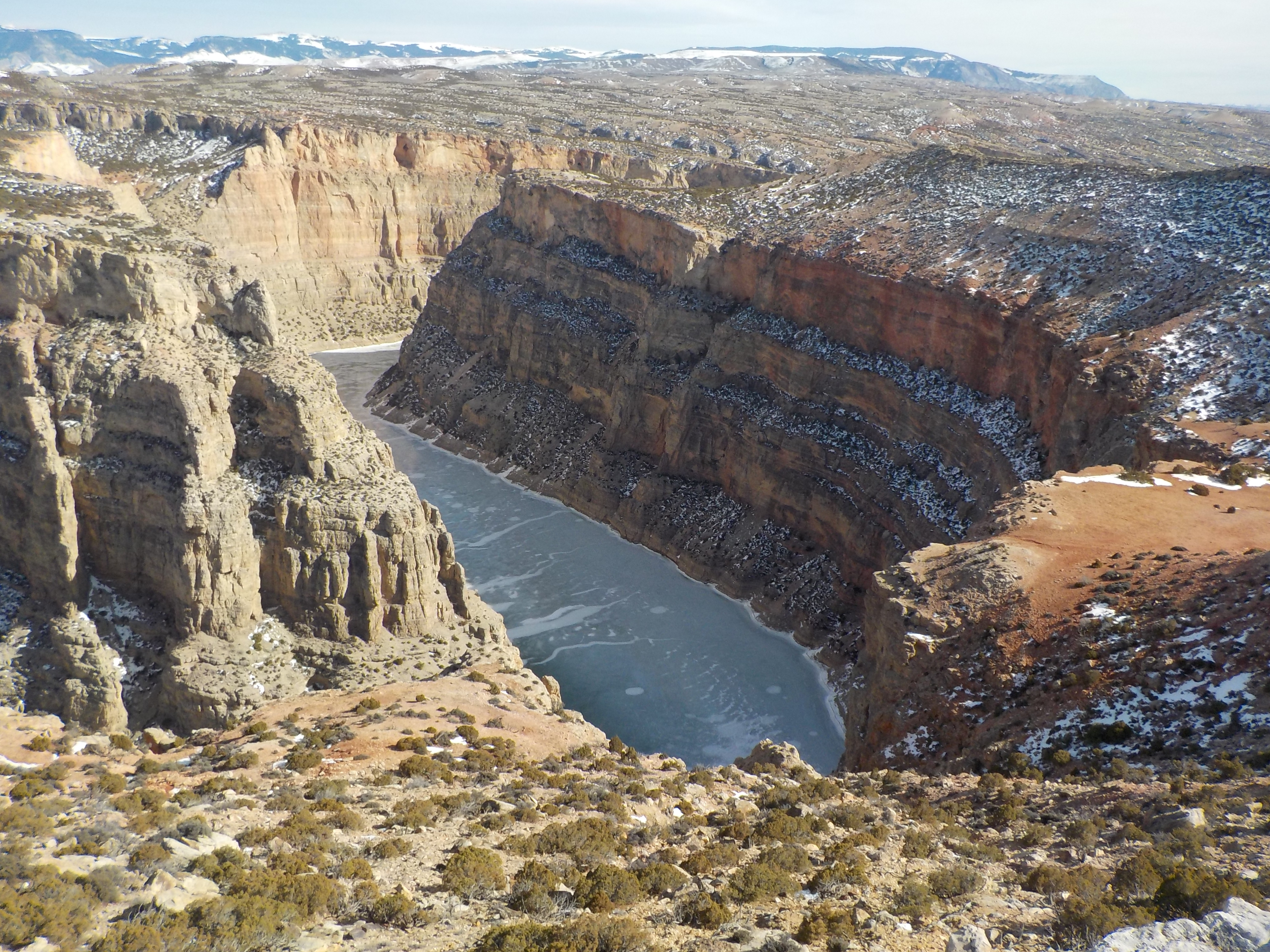 Ranger's Delight TrailHikingPhoto: Kjnpta — Wikimedia Commons (CC BY-SA 4.0)1.9 mi
- StatelineHiking2.4 mi
- Crooked Creek PlateauHiking2.4 mi
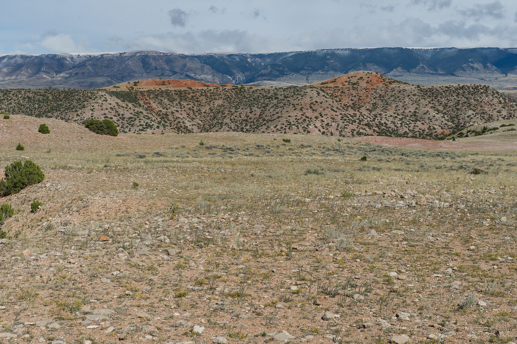 Lower Layout CreekHikingPhoto: Greg_Hanson, CC BY 2.0 (via Flickr)2.6 mi
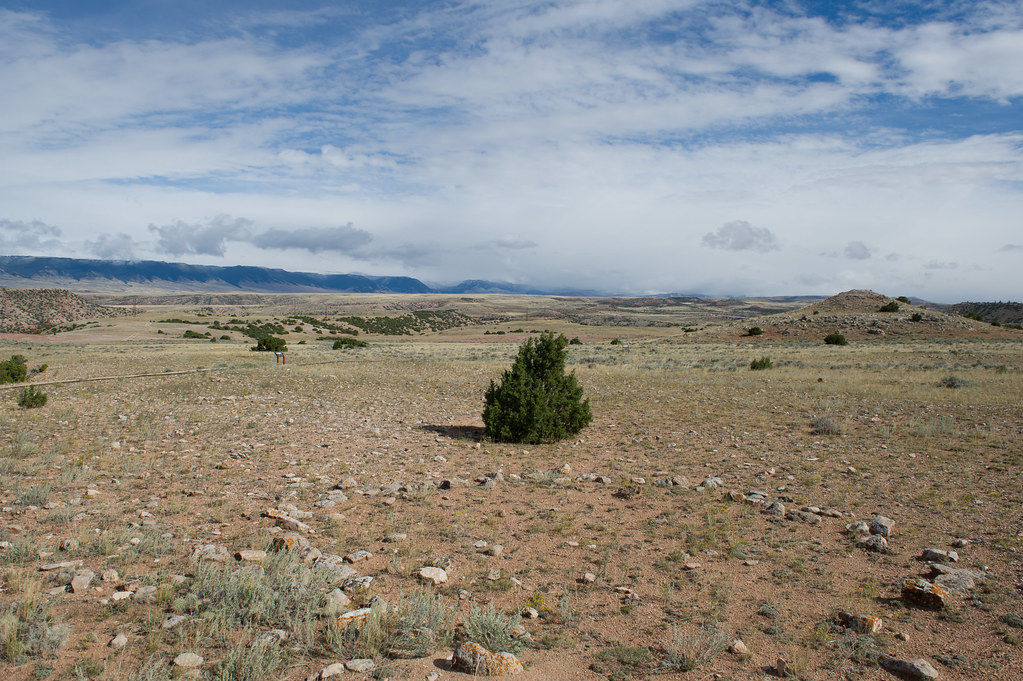 Two Eagles Interpretive TrailHikingPhoto: Greg_Hanson, CC BY 2.0 (via Flickr)2.8 mi
Source: Roamze catalog (indexable pages within 10 miles, PostGIS distance)
- Sullivan's Knob TrailHiking · Next doorPhoto: Mobilus In Mobili, CC BY-SA 2.0 (via Flickr)
- DCO RidgeHiking · ~1 min drivePhoto: Mobilus In Mobili, CC BY-SA 2.0 (via Flickr)
- nullHiking · ~8 min drive
- Sykes Mountain TrailHiking · ~9 min drive
- Big PryorHiking · ~33 min drive
- Ranger's Delight TrailHiking · ~3 min drive
- Ranger's DelightHiking · ~3 min drivePhoto: Greg_Hanson, CC BY 2.0 (via Flickr)
- South PastureHiking · ~8 min drive
- Mexican HillHiking · ~30 min drive
- Pumpkin CreekHiking · ~38 min drive
Best time to visit Sullivans Knob
Best months: April–June and August–October. Best months have typical highs of 55–85 °F, lows of 30 °F or warmer (32 °F where the station doesn't record snow), at most one snowy day and no more than 12 wet days.
Jan
31° / 7°
2 wet · 1 snow
Feb
36° / 12°
2 wet · 2 snow
Mar
50° / 23°
3 wet · 1 snow
Apr
58° / 31°
5 wet
May
67° / 42°
7 wet
Jun
78° / 50°
7 wet
Jul
86° / 56°
4 wet
Aug
85° / 52°
3 wet
Sep
74° / 43°
4 wet
Oct
59° / 32°
4 wet
Nov
44° / 20°
2 wet · 1 snow
Dec
33° / 10°
2 wet · 1 snow
Typical high / low (°F) and days with rain or snow, 1991–2020. Measured at Lovell, WY, 15.5 mi away at 3,847 ft. The station sits about 500 ft lower than this place, so expect it a little cooler here. Source: NOAA NCEI U.S. Climate Normals 1991–2020.
