Crane Creek
- 4.3 mi
- round trip
- 767 ft
- climb
- 5,017 ft
- high point
- Out and back
- route
Is Crane Creek open right now?
Alert in the area
The Forest Service lists 6 alerts for Flathead National Forest.
Ashley Lake North Campground Closure
Agency alert covering Flathead National Forest · Order 01-10- · USFS · Flathead National Forest
Camp Creek Fire Updated Trail Closure
Agency alert covering Flathead National Forest · Order 01-10- · USFS · Flathead National Forest
FK&L Area Closed to Public Access Starting July 22, 2026
Agency alert covering Flathead National Forest · Order 01-10- · USFS · Flathead National Forest
Trail 800 Tally-Ashely Closure
Agency alert covering Flathead National Forest · Order 01-10- · USFS · Flathead National Forest
Ryan Creek Occupancy and Use Order
Agency alert covering Flathead National Forest · Order 1-10- · USFS · Flathead National Forest
As of · Source: USFS · Flathead National Forest. Agencies don't list every closure — check before you go.
Crane Creek is a 4.3-mile out-and-back hike in the Swan Lake Ranger District of Flathead National Forest in northwest Montana, on Forest Service land about 4 miles from the town of Swan Lake. The trail gains about 770 feet of elevation, from roughly 4,250 feet at the lower end to about 5,017 feet at the high point, and is rated moderate. The trail is a natural-surface route, and bikes are allowed. Parking is at Crane Creek Trailhead #314, and the trail is open year-round. Several other destinations sit close by. Beardance and the Flathead Lake trail are both about 0.8 miles away. Swan Lake, a lake fishing spot, is about 5 miles off. For camping, Swan Lake Campground and Mission Lookout are each about 8 miles away.
Local outfitters
- Rocky Mountain Outfitter21 mi away
- North American RV Park & Yurt Village33 mi away
Not on Roamze yet. Their page has how to reach them.
- BeardanceHiking0.8 mi
- Flathead LakeHiking0.8 mi
- PhillipsHiking2.7 mi
- Swan LakeLake fishing5.1 mi
- 9508-4 Six Mile RoadCamping7.9 mi
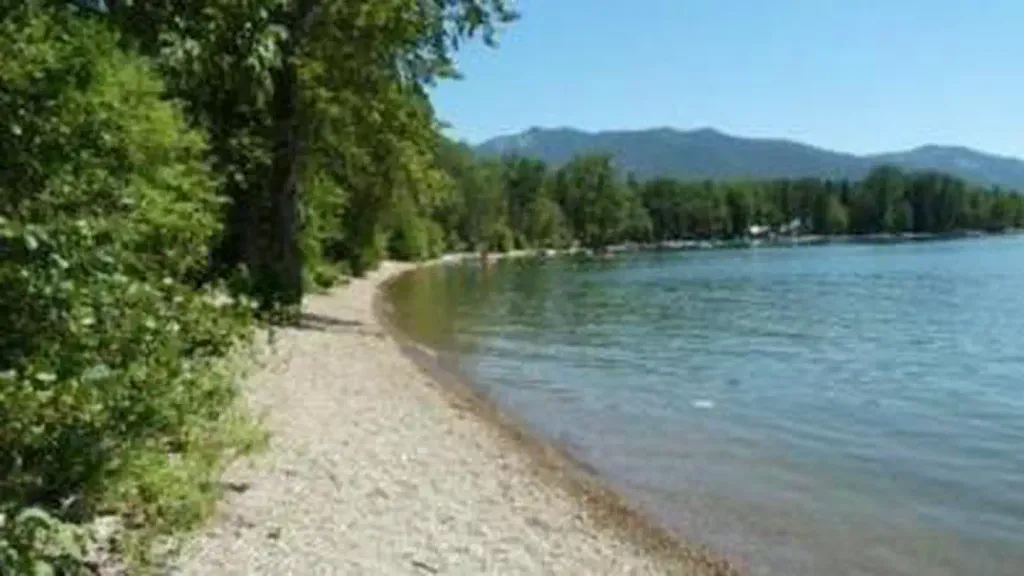 Swan Lake CampgroundCampingPhoto: Recreation.gov (RIDB) / public domain7.9 mi
- Mission LookoutCamping8.1 mi
- Flathead Lake CircumnavigationCanoeing9.1 mi
Source: Roamze catalog (indexable pages within 10 miles, PostGIS distance)
 Lupine LoopHiking · ~12 min drivePhoto: Always Shooting, CC BY 2.0 (via Flickr)
 Hall Lake TrailHiking · ~16 min drivePhoto: Thank You (25 Millions ) views, CC BY 2.0 (via Flickr)
- PhillipsHiking · ~5 min drive
- Peterson Creek TrailHiking · ~14 min drive
 Linderman Lookout TrailHiking · ~13 min drivePhoto: LukeDetwiler, CC BY 2.0 (via Flickr)
- Estes LakeHiking · ~5 min drive
- PETERSON CREEKHiking · ~14 min drive
- Wire TrailHiking · ~19 min drive
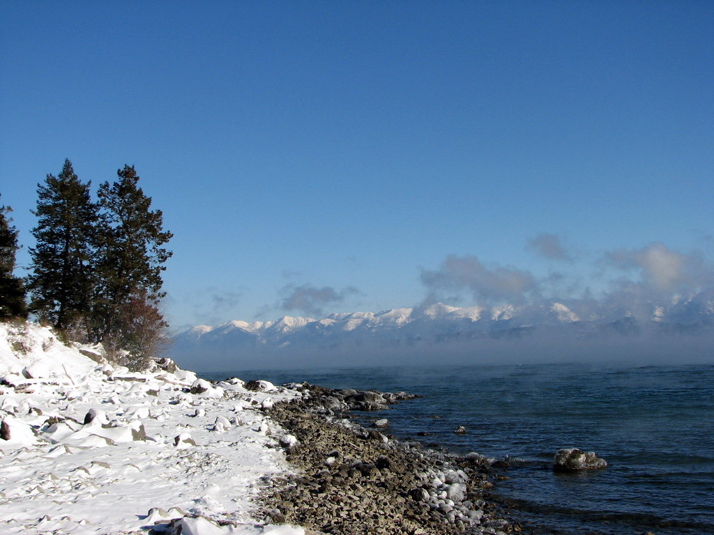 Pileated PathHiking · ~13 min drivePhoto: Stupid Dingo, CC BY 2.0 (via Flickr)
- Broken Leg DivideHiking · ~14 min drive
