Flathead Lake Circumnavigation
- May–Oct
- best months
Flathead Lake Circumnavigation is a canoeing route around Flathead Lake in northwest Montana, about 1.3 miles from the town of Rollins. It is a full circumnavigation of the lake, and the paddling season here is best from late spring through early fall. Summer is the most comfortable time to paddle. Typical averages from a nearby weather station in Bigfork show July highs around 80°F with lows near 55°F, and August is nearly as warm with the fewest wet days of the year, about five. Several hiking trails sit within a short drive. Pileated Path is about 4 miles away, and Linderman Lookout Trail and Osprey Overlook Trail are each a little over 4 miles off. Bear Valley Trail is about 6 miles away.
Local outfitters
- Wild Horse RV Resort9 mi away
- Bigfork Outdoor Rentals16 mi away
Not on Roamze yet. Their page has how to reach them.
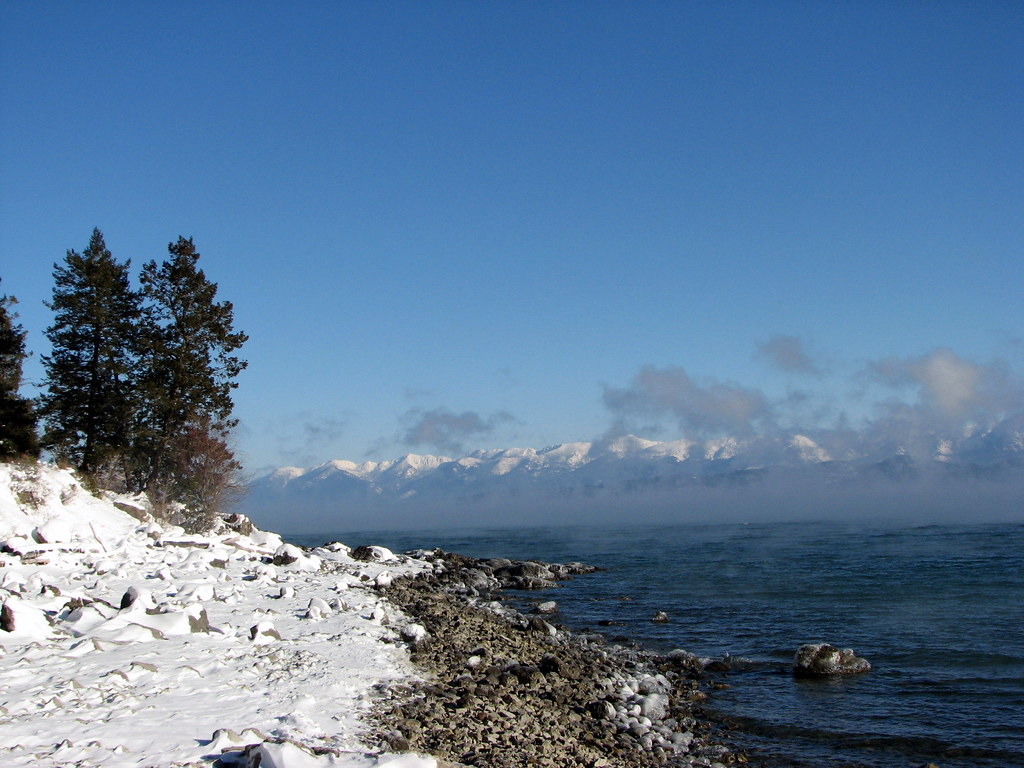 Pileated PathHikingPhoto: Stupid Dingo, CC BY 2.0 (via Flickr)4 mi
 Linderman Lookout TrailHikingPhoto: LukeDetwiler, CC BY 2.0 (via Flickr)4.3 mi
- Osprey Overlook TrailHikingPhoto: LukeDetwiler, CC BY 2.0 (via Flickr)4.4 mi
- Bear Valley TrailHiking6 mi
- Sunset TrailHiking6.1 mi
- White Spruce TrailHiking6.2 mi
- Flathead LakeHiking8.2 mi
- BeardanceHiking8.3 mi
Source: Roamze catalog (indexable pages within 10 miles, PostGIS distance)
 South Fork Flathead RiverCanoeing · ~1h 1m drivePhoto: Public domain (via Wikimedia Commons)
- Kearney Rapids Boat LaunchBoat launch · ~23 min drive
- Swan Lake CampgroundStand up paddleboarding · ~27 min drive
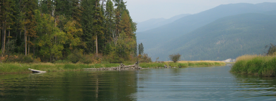 Swan RiverCanoeing · ~1h 7m drivePhoto: USFWS, Public domain (via Wikimedia Commons)
- Swan Lake Boating SiteBoat launch · ~27 min drive
- Tally Lake CampgroundStand up paddleboarding · ~1h 10m drive
- Ashley CreekCanoeing · ~36 min drive
- Buffalo Bridge AccessBoat launch · ~31 min drive
- Little Bitterroot RiverCanoeing · ~38 min drive
- Crossover Boat RampBoat launch · ~50 min drive
Best time to visit Flathead Lake Circumnavigation
Best months: May–October. Best months have typical highs of 55–85 °F, lows of 30 °F or warmer (32 °F where the station doesn't record snow), at most one snowy day and no more than 12 wet days.
Jan
34° / 25°
10 wet
Feb
37° / 26°
8 wet
Mar
45° / 30°
9 wet
Apr
53° / 35°
9 wet
May
63° / 43°
10 wet
Jun
70° / 49°
10 wet
Jul
80° / 55°
6 wet
Aug
79° / 54°
5 wet
Sep
69° / 47°
6 wet
Oct
55° / 38°
8 wet
Nov
42° / 32°
9 wet
Dec
34° / 26°
10 wet
Typical high / low (°F) and days with rain or snow, 1991–2020. Measured at Bigfork 13 S, MT, 7 mi away at 2,979 ft. This station doesn't record snowfall. Source: NOAA NCEI U.S. Climate Normals 1991–2020.
Map and trail data © OpenStreetMap contributors
