Companion Lake
- 1.6 mi
- round trip
- 328 ft
- climb
- 9,408 ft
- high point
- Out and back
- route
Is Companion Lake open right now?
Closure in the area
There's a closure order in Custer Gallatin National Forest. It doesn't name Companion Lake, so check the source for the area it covers (14 listed).
NFSR #1700 South Plateau Road Closure
Agency closure covering Custer Gallatin National Forest · USFS · Custer Gallatin National Forest
Tom Miner Campground Closure
Agency closure covering Gardiner Ranger District · Order 01-11-03-26-02 · USFS · Gardiner Ranger District
Hyalite Porcupine Buffalo Horn Summer Interim Travel Order and Map and Order # 01-11-00-26-02
Agency closure covering Custer Gallatin National Forest · Order 01-11-00-26-02 · USFS · Custer Gallatin National Forest
Hyalite Porcupine Buffalo Horn Winter Interim Travel Order and Map Order Number: #01-11-00-26-01
Agency closure covering Custer Gallatin National Forest · USFS · Custer Gallatin National Forest
Glacier Lake Road #2421 Closure Order Number: # 01-11-82-26- 01
Agency closure covering Custer Gallatin National Forest · Order 01-11-82-26- · USFS · Custer Gallatin National Forest
As of · Source: USFS · Custer Gallatin National Forest. Agencies don't list every closure — check before you go.
Companion Lake is an easy hike of about 1.6 miles in the Absaroka-Beartooth Wilderness, within the Gardiner Ranger District of Custer Gallatin National Forest in Montana. The Forest Service manages the land, and the trail is a short out-and-back with a one-way climb of about 328 feet, from a low point of roughly 8,884 feet to a high of about 9,408 feet. The trail is natural-surfaced and allows horses, and bikes are not permitted. That makes it a good choice for riders on horseback or for anyone who wants to keep the route simple. Several other outings sit close by. Lady of the Lake is about a mile away, Zimmer Creek is about 1.8 miles off, and Grasshopper Glacier is about 2 miles away. For an overnight stay, Colter Campground is about 3.5 miles from the trail.
- Lady of the LakeHiking1 mi
- Zimmer CreekHiking1.8 mi
- Grasshopper GlacierHiking2 mi
- ColterCamping3.5 mi
- Soda Butte CampgroundCamping3.8 mi
- Pilot CreekCanoeing8.9 mi
- South Central RegionRock climbing8.9 mi
- Stillwater RiverCanoeing9.9 mi
Source: Roamze catalog (indexable pages within 10 miles, PostGIS distance)
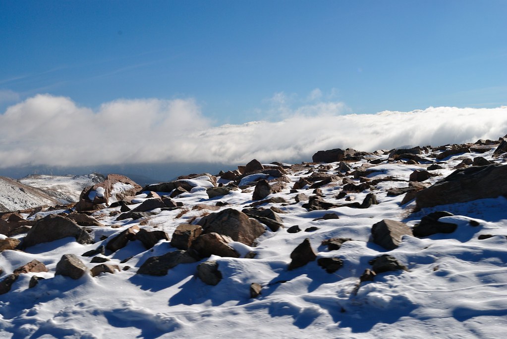 Soda Butte Creek TrailHiking · ~6 min drivePhoto: richsandroid, CC BY 2.0 (via Flickr)
 Black Warrior TrailHiking · ~7 min drivePhoto: Matt Lavin, CC BY-SA 2.0 (via Flickr)
- Warm Creek Trailhead (3K4)Hiking · ~14 min drive
- Lower Lady of the LakeHiking · ~4 min drive
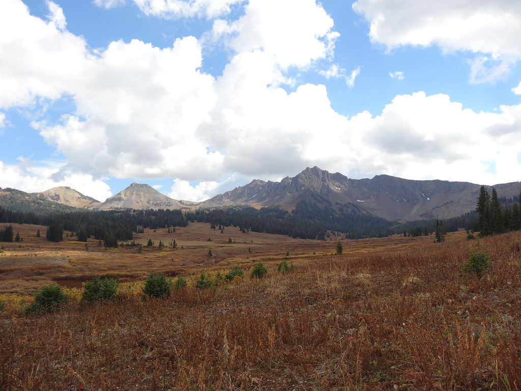 Wolverine Pass CutoffHiking · ~8 min drivePhoto: Forest Service - Northern Region, Public Domain Mark (via Flickr)
- Sheep Creek BasinHiking · ~8 min drivePhoto: Matt Lavin, CC BY-SA 2.0 (via Flickr)
- Republic Cr. TrailHiking · ~9 min drive
- Zimmer CreekHiking · ~3 min drive
- Lady of the LakeHiking · ~2 min drive
- Russell CreekHiking · ~9 min drive
