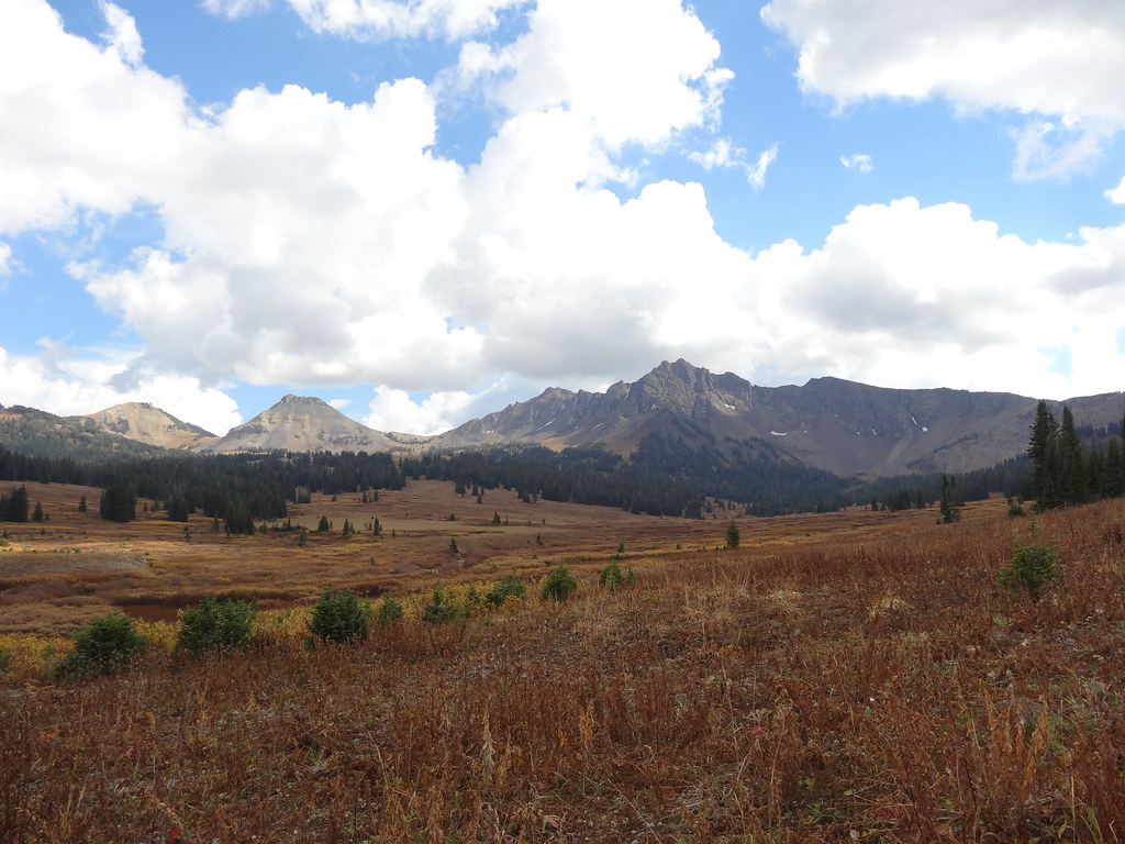
Stillwater River
- 16.1 mi
- distance
- 7,882 ft
- high point
- Jun–Aug
- best months
Is Stillwater River open right now?
Closure in the area
There's a closure order in Custer Gallatin National Forest. It doesn't name Stillwater River, so check the source for the area it covers (13 listed).
NFSR #1700 South Plateau Road Closure
Agency closure covering Custer Gallatin National Forest · USFS · Custer Gallatin National Forest
Pine Grove Campground Closure
Agency closure covering Beartooth Ranger District · Order 01-11-82-26-04 · USFS · Beartooth Ranger District
Hyalite Porcupine Buffalo Horn Summer Interim Travel Order and Map and Order # 01-11-00-26-02
Agency closure covering Custer Gallatin National Forest · Order 01-11-00-26-02 · USFS · Custer Gallatin National Forest
Hyalite Porcupine Buffalo Horn Winter Interim Travel Order and Map Order Number: #01-11-00-26-01
Agency closure covering Custer Gallatin National Forest · USFS · Custer Gallatin National Forest
Glacier Lake Road #2421 Closure Order Number: # 01-11-82-26- 01
Agency closure covering Custer Gallatin National Forest · Order 01-11-82-26- · USFS · Custer Gallatin National Forest
As of · Source: USFS · Custer Gallatin National Forest. Agencies don't list every closure — check before you go.
The Stillwater River is a canoeing route in Montana's Absaroka-Beartooth Wilderness, within the Beartooth Ranger District of Custer Gallatin National Forest. The Forest Service manages the land, and the river runs about 16 miles long. Summer is the most comfortable time to paddle. Typical averages from a nearby weather station at Silver Gate show July highs around 74°F with lows near 40°F, while winter highs stay in the 20s. Several trails lie close by. Big Park Trail is about half a mile away, and Wounded Man Creek and Lake of the Woods are both within 3 miles. Climbers can find the South Central Region about 5.6 miles off.
Local outfitters
- Flying Pig Adventures38 mi away
Not on Roamze yet. Their page has how to reach them.
- Big Park TrailHiking0.6 mi
- Wounded Man CreekHiking2 mi
- Lake of the WoodsHiking2.9 mi
- Columbine PassHiking5.2 mi
- South Central RegionRock climbing5.6 mi
- Horseshoe MtnHiking6.1 mi
- Pinchot LakeHiking6.6 mi
- Goose LakeHiking7 mi
Source: Roamze catalog (indexable pages within 10 miles, PostGIS distance)
 Lamar RiverCanoeing · ~1h drivePhoto: J. Schmidt, Public domain (via Wikimedia Commons)
- Lock LevenBoat launch · ~1h 1m drive
 Sunlight CreekCanoeing · ~1h 7m drivePhoto: Yellowstone National Park, Public domain (via Wikimedia Commons)
- ParadiseBoat launch · ~1h 2m drive
 North Fork Shoshone RiverCanoeing · ~1h 13m drivePhoto: Paul Hermans, CC BY-SA 4.0 (via Wikimedia Commons)
- Pine CreekBoat launch · ~1h 2m drive
 Gardner RiverCanoeing · ~1h 13m drivePhoto: Jo Suderman, Public domain (via Wikimedia Commons)
- Mallards RestBoat launch · ~1h 3m drive
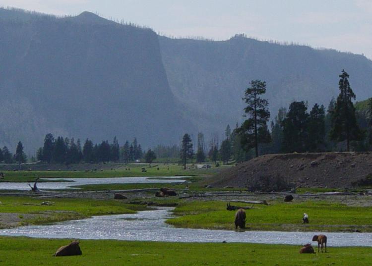 Gibbon RiverCanoeing · ~1h 24m drivePhoto: Daniel Mayer, CC BY-SA 3.0 (via Wikimedia Commons)
- Carter's Bridge Fishing AccessBoat launch · ~1h 7m drive
Also worth it near here
Best time to visit Stillwater River
Best months: June–August. Best months have typical highs of 55–85 °F, lows of 30 °F or warmer (32 °F where the station doesn't record snow), at most one snowy day and no more than 12 wet days.
Jan
27° / 3°
Feb
30° / 5°
Mar
39° / 12°
Apr
44° / 20°
May
55° / 29°
Jun
65° / 35°
Jul
74° / 40°
Aug
73° / 37°
Sep
64° / 30°
Oct
50° / 23°
Nov
33° / 12°
Dec
24° / 2°
Typical high / low (°F) and days with rain or snow, 1991–2020. Measured at Silver Gate, MT, 13.5 mi away at 7,495 ft. This station doesn't record snowfall. Source: NOAA NCEI U.S. Climate Normals 1991–2020.