Bull Creek Pole Creek
- 3.5 mi
- round trip
- 1,903 ft
- climb
- 8,248 ft
- high point
- Out and back
- route
Is BULL CREEK POLE CREEK open right now?
Closure in the area
There's a closure order in Beaverhead-Deerlodge National Forest. It doesn't name BULL CREEK POLE CREEK, so check the source for the area it covers (2 listed).
Annual Food Storage Order
Agency closure covering Beaverhead-Deerlodge National Forest · Order 02-00-22-02 · USFS · Beaverhead-Deerlodge National Forest
Pallet Prohibition Order Butte Ranger District
Agency closure covering Beaverhead-Deerlodge National Forest · Order 01020425-01 · USFS · Beaverhead-Deerlodge National Forest
Lost Creek Area - Road Closure
Agency alert covering Beaverhead-Deerlodge National Forest · USFS · Beaverhead-Deerlodge National Forest
Montana BDR Alternative Route
Agency alert covering Beaverhead-Deerlodge National Forest · USFS · Beaverhead-Deerlodge National Forest
Lost Creek Area - Road Closure
Agency alert covering Beaverhead-Deerlodge National Forest · Order 01020826-02 · USFS · Beaverhead-Deerlodge National Forest
As of · Source: USFS · Beaverhead-Deerlodge National Forest. Agencies don't list every closure — check before you go.
Bull Creek Pole Creek is a moderate out-and-back hike in the Dillon Ranger District of the Beaverhead-Deerlodge National Forest in southwest Montana, about 3.6 miles from the town of Polaris. The trail is managed by the Forest Service. The route is roughly 6.9 miles long, with a total elevation gain of 1,903 feet. It starts at about 7,020 feet and climbs to a high point of 8,248 feet, with the steepest stretch around mile 1.5, where the grade reaches about 23%. The climb is front-loaded, so the hardest part comes early in the hike. Several other trails lie within a few miles, including Bull Creek and Hunter Creek, each about 3.7 miles away, and Harrison Lake at about 5.1 miles. Grasshopper Campground (MT) is about 7.2 miles off for an overnight stay.
- BULL CREEKHiking3.7 mi
- HUNTER CREEKHiking3.7 mi
- HARRISON LAKEHiking5.1 mi
- POLARIS LAKEHiking5.8 mi
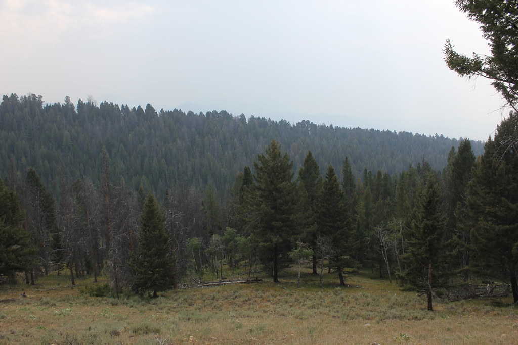 BLUE CREEKHikingPhoto: TexasExplorer98, CC BY 2.0 (via Flickr)6.8 mi
- Grasshopper Campground (MT)Camping7.2 mi
- Grasshopper CreekCanoeing8.9 mi
- Governor CreekCanoeing9.8 mi
Source: Roamze catalog (indexable pages within 10 miles, PostGIS distance)
- BLUE CREEKHiking · ~12 min drivePhoto: TexasExplorer98, CC BY 2.0 (via Flickr)
 OLD HOT SRPINGS TRAILHiking · ~15 min drivePhoto: TexasExplorer98, CC BY 2.0 (via Flickr)
 Brownes LakeHiking · ~23 min drivePhoto: TexasExplorer98, CC BY 2.0 (via Flickr)
- Crystal TrailHiking · ~17 min drive
- BRAYS CANYON FOX CREEKHiking · ~19 min drive
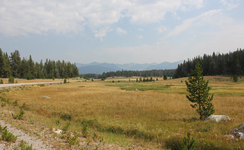 HARRISON PARK TRAILHiking · ~17 min drivePhoto: TexasExplorer98, CC BY 2.0 (via Flickr)
- HUNTER CREEKHiking · ~6 min drive
- PEAR-MAY-TUB LAKEHiking · ~18 min drive
- ESTLER LAKEHiking · ~21 min drive
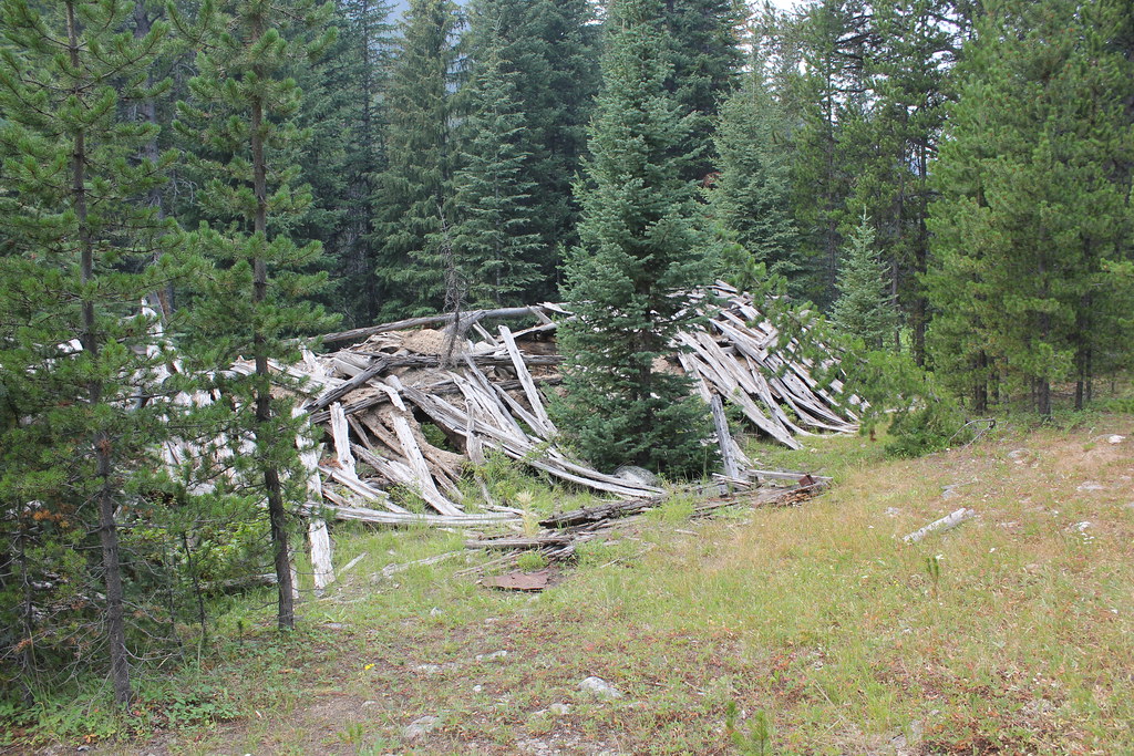 ELKHORN CREEKHiking · ~20 min drivePhoto: TexasExplorer98, CC BY 2.0 (via Flickr)

