Crystal Lk Stock Bypass
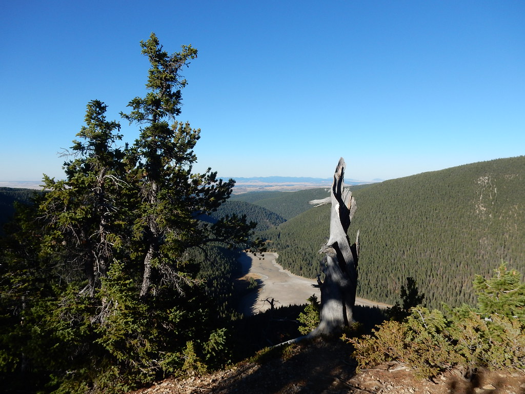 Photo: Matt Lavin, CC BY-SA 2.0 (via Flickr)
- 2.0 mi
- round trip
- 77 ft
- climb
- 6,226 ft
- high point
- Out and back
- route
- May, Jul–Sep
- best months
Is Crystal Lk Stock Bypass open right now?
No closures listed
The Forest Service lists no closures for Helena-Lewis and Clark National Forest.
As of · Source: USFS · Helena-Lewis and Clark National Forest. Agencies don't list every closure — check before you go.
Crystal Lk Stock Bypass is a short, easy out-and-back hike in the Judith-Musselshell Ranger District of Helena-Lewis and Clark National Forest in central Montana. The trail is about 2 miles long, with a low point of 6,062 feet and a high of 6,226 feet, and it gains about 77 feet of elevation. It is a natural-surface route that is open to both horses and bikes, and it is not an accessible trail. The trail sits within the Helena-Lewis and Clark National Forest, managed by the Forest Service, and the nearest town is Lewistown. The trailhead is at the Ice Caves TH parking area, and the route is open year-round. Summer is the most comfortable time to go. Typical averages from a nearby weather station in Lewistown show July highs around 80°F with lows near 49°F, while winter highs stay in the mid-30s. That station sits roughly 1,260 feet lower than the trail, so temperatures on the route run cooler. Several other destinations sit close by. The Uhlhorn hike is about 0.1 mile away, and Crystal Lake Cabin and the Crystal Lake Loop are each about 0.2 mile off. Timber Creek Dispersed Campground is about 4.8 miles away.
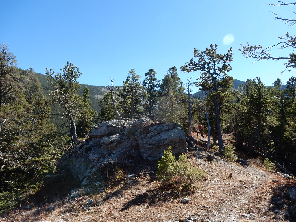 UhlhornHikingPhoto: Matt Lavin, CC BY-SA 2.0 (via Flickr)0.1 mi
- Crystal Lake CabinCamping0.2 mi
- Crystal Accessible SpurMountain biking0.2 mi
- Jack Milborne TrailMountain biking0.2 mi
- Crystal Lake LoopHikingPhoto: Matt Lavin, CC BY-SA 2.0 (via Flickr)0.2 mi
- Crystal Lake Group CampsiteCamping0.3 mi
- Timber Creek Dispersed CampgroundCamping4.8 mi
- Timber Cr DispersedCamping4.8 mi
Source: Roamze catalog (indexable pages within 10 miles, PostGIS distance)
- UhlhornHiking · Next doorPhoto: Matt Lavin, CC BY-SA 2.0 (via Flickr)
- Crystal Lake LoopHiking · Next doorPhoto: Matt Lavin, CC BY-SA 2.0 (via Flickr)
 Grand ViewHiking · ~2 min drivePhoto: Matt Lavin, CC BY-SA 2.0 (via Flickr)
- Maynard RidgeHiking · ~19 min drive
- Dry Pole CreekHiking · ~4 min drive
- Promontory PointHiking · ~1 min drivePhoto: Matt Lavin, CC BY-SA 2.0 (via Flickr)
- Blake Creek SummitHiking · ~6 min drive
- Neil CreekHiking · ~5 min drive
- Hidden Basin WildflowerHiking · ~1 min drivePhoto: Matt Lavin, CC BY-SA 2.0 (via Flickr)
- Swimming WomanHiking · ~14 min drive
Best time to visit Crystal Lk Stock Bypass
Best months: May and July–September. Best months have typical highs of 55–85 °F, lows of 30 °F or warmer (32 °F where the station doesn't record snow), at most one snowy day and no more than 12 wet days.
Jan
37° / 13°
7 wet
Feb
37° / 12°
6 wet
Mar
45° / 19°
8 wet
Apr
51° / 26°
9 wet
May
62° / 36°
12 wet
Jun
68° / 43°
13 wet
Jul
80° / 49°
10 wet
Aug
79° / 47°
8 wet
Sep
69° / 39°
7 wet
Oct
57° / 30°
7 wet
Nov
44° / 21°
6 wet
Dec
36° / 14°
6 wet
Typical high / low (°F) and days with rain or snow, 1991–2020. Measured at Lewistown 11 Sse, MT, 9 mi away at 4,965 ft. The station sits about 1,300 ft lower than this place, so expect it a little cooler here. This station doesn't record snowfall. Source: NOAA NCEI U.S. Climate Normals 1991–2020.
