Grand View
 Photo: Matt Lavin, CC BY-SA 2.0 (via Flickr)
- 5.5 mi
- loop
- 1,783 ft
- climb
- 8,147 ft
- high point
- Loop
- route
Is Grand View open right now?
No closures listed
The Forest Service lists no closures for Helena-Lewis and Clark National Forest.
As of · Source: USFS · Helena-Lewis and Clark National Forest. Agencies don't list every closure — check before you go.
Grand View is a 5.5-mile loop hike in the Judith-Musselshell Ranger District of Helena-Lewis and Clark National Forest in Montana, managed by the Forest Service. The trail rises from about 6,019 feet to about 8,147 feet, with a total elevation gain of 1,783 feet, and is rated moderate. The trail is natural-surface and allows both horses and bikes. It is not an accessible route. The closest neighbors are V. J. Springs, a mountain biking spot about 0.1 mile away, and Promontory Point, a hike about 0.4 mile off. Crystal Lake Loop and Crystal Lake Group Campsite sit within a mile.
Conditions and forecast on West Peak
Daily highs and lows, wind and the chance of precipitation at the summit and route start for the next 7 days, from the Open-Meteo model.
- V. J. SpringsMountain biking0.1 mi
- Promontory PointHikingPhoto: Matt Lavin, CC BY-SA 2.0 (via Flickr)0.4 mi
- Crystal Lake LoopMountain biking0.6 mi
- Jack Milborne TrailMountain biking0.7 mi
- Crystal Lake Group CampsiteCamping0.7 mi
- Crystal Lake CabinCamping0.8 mi
- Timber Creek Dispersed CampgroundCamping5.4 mi
- Big Rock CreekCanoeing9.9 mi
Source: Roamze catalog (indexable pages within 10 miles, PostGIS distance)
- Promontory PointHiking · Next doorPhoto: Matt Lavin, CC BY-SA 2.0 (via Flickr)
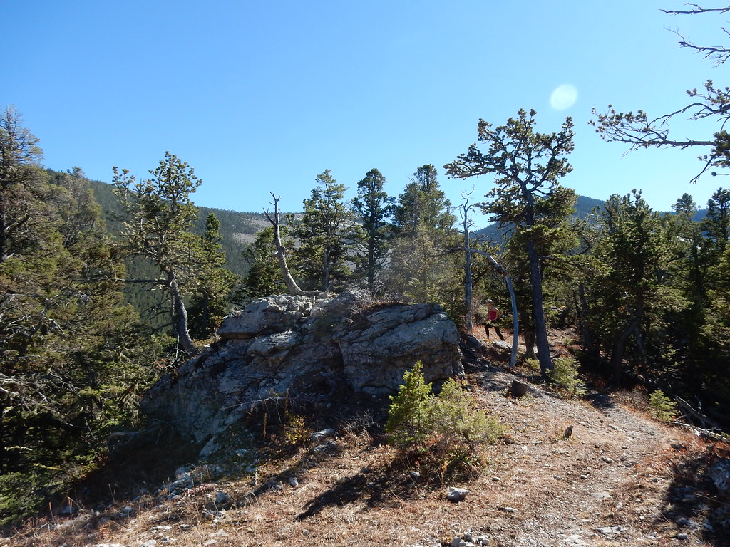 UhlhornHiking · ~1 min drivePhoto: Matt Lavin, CC BY-SA 2.0 (via Flickr)
- Blake Creek SummitHiking · ~7 min drive
- Maynard RidgeHiking · ~20 min drive
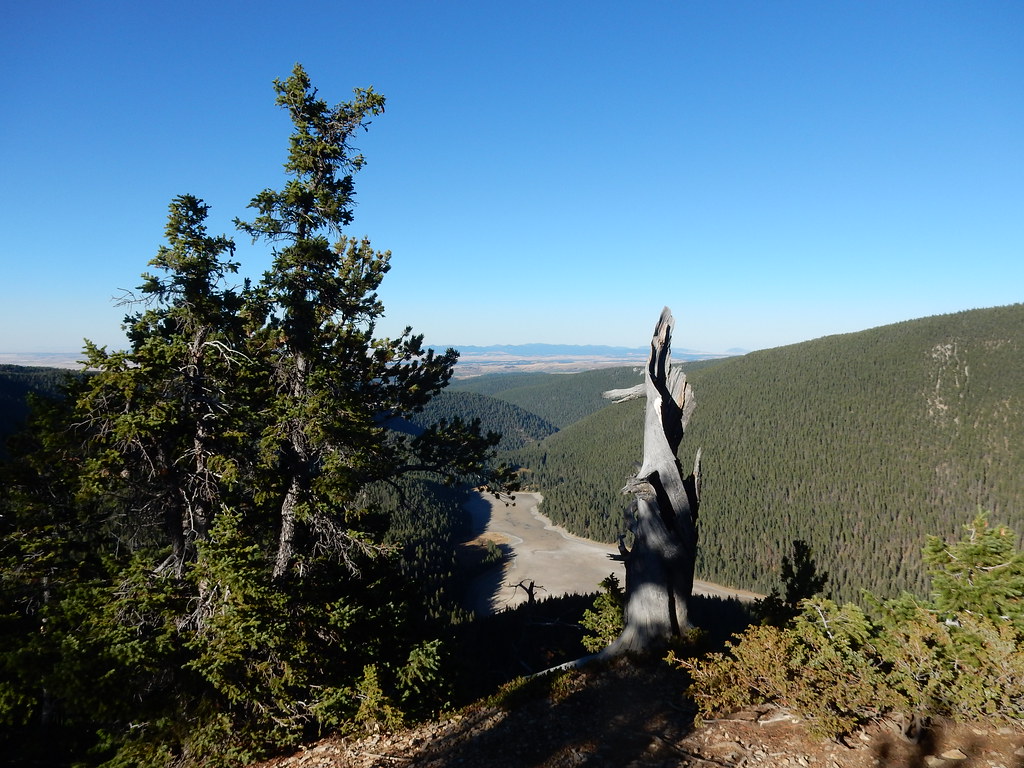 Crystal Lake LoopHiking · ~1 min drivePhoto: Matt Lavin, CC BY-SA 2.0 (via Flickr)
- Dry Pole CreekHiking · ~3 min drive
- Swimming WomanHiking · ~15 min drive
- Hidden Basin WildflowerHiking · ~1 min drivePhoto: Matt Lavin, CC BY-SA 2.0 (via Flickr)
- Neil CreekHiking · ~5 min drive
- SouthsideHiking · ~18 min drive
Route details
- Distance
- 5.5 mi
- Climbing
- About 1,783 ft
- Starts at
- ICE CAVES TH (about 6,368 ft)
- Summit
- 8,176 ft
- Difficulty
- Moderate
- Time
- About 2.5 hours
Getting there
Park at ICE CAVES TH.
Season
Season: Year-round.
Other routes up West Peak
Questions about this route
How long is the Grand View on West Peak?
About 5.5 mi from ICE CAVES TH (about 6,368 ft).
How much elevation gain is on the Grand View?
About 1,783 ft of climbing round trip.
How hard is the Grand View?
It is rated moderate.
Where does the Grand View start?
ICE CAVES TH (about 6,368 ft).
How long does the Grand View take?
About 2.5 hours round trip.
When is the best time for the Grand View?
Year-round.
How many routes go up West Peak?
2: Grand View and West Peak.
