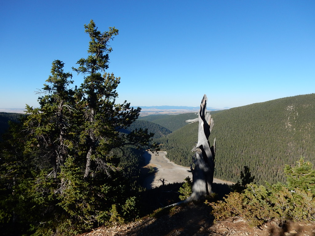
East Fork Big Spring Creek
- 24.4 mi
- distance
- 5,405 ft
- high point
- May–Sep
- best months
East Fork Big Spring Creek is a 24-mile paddling stretch in central Montana, about 3 miles from the town of Heath and roughly 24 miles from Lewistown. It is a canoeing route rather than a trail, and it is intermittent, so it may run dry in some seasons. At the USGS's average, the flow is about 41 cubic feet per second, and the gradient averages about 54.3 feet per mile. Summer is the most comfortable time to go. Typical averages from a nearby weather station show July and August highs around 77 to 78°F with lows in the mid-50s, while winter highs stay in the low 30s. Two hikes lie close by: E. Fk. Big Spring Creek is about 7 miles away, and East Fork Cottonwood Creek is about 8 miles away.
Source: Roamze catalog (indexable pages within 10 miles, PostGIS distance)
- Cottonwood CreekCanoeing · ~18 min drive
- Crystal Lake Boat LaunchBoat launch · ~25 min drive
- Big Spring CreekCanoeing · ~23 min drive
- Big Rock CreekCanoeing · ~25 min drive
- Ross Fork CreekCanoeing · ~39 min drive
- Judith RiverCanoeing · ~51 min drive
- Careless CreekCanoeing · ~56 min drive
- Roberts CreekCanoeing · ~59 min drive
- McDonald CreekCanoeing · ~1h 5m drive
- Box Elder CreekCanoeing · ~1h 6m drive
Best time to visit East Fork Big Spring Creek
Best months: May–September. Best months have typical highs of 55–85 °F, lows of 30 °F or warmer (32 °F where the station doesn't record snow), at most one snowy day and no more than 12 wet days.
Jan
33° / 15°
Feb
33° / 15°
Mar
41° / 22°
Apr
49° / 29°
May
59° / 38°
Jun
67° / 46°
Jul
77° / 54°
Aug
78° / 53°
Sep
67° / 44°
Oct
53° / 34°
Nov
39° / 24°
Dec
34° / 17°
Typical high / low (°F) and days with rain or snow, 1991–2020. Measured at Lewistown 11ese, MT, 4.8 mi away at 5,028 ft. This station doesn't record snowfall. Source: NOAA NCEI U.S. Climate Normals 1991–2020.