Bear Lake
- 13.5 mi
- round trip
- 2,655 ft
- climb
- 7,723 ft
- high point
- Out and back
- route
- Jun–Sep
- best months
Bear Lake is a long, steep out-and-back hike in Montana's West Pioneer Roadless Area, managed by the Forest Service. The route starts at about 6,726 feet and climbs to a high point of 7,723 feet, with a total elevation gain of 2,655 feet over the course of the 26.9-mile round trip. The steepest stretch comes at about 1.2 miles in, where the grade reaches 12 percent. Summer is the most comfortable time to go. Typical averages from a nearby weather station in Jackson, which sits roughly 1,200 feet lower, show July highs around 77°F with lows near 42°F, while winter highs stay in the 20s. The trip takes about 10.5 hours. Bull Creek and Hunter Creek are both about 4.6 miles away, and Governor Creek offers canoeing about 7.2 miles off. The Big Hole River is about 8.6 miles away.
- BULL CREEKHiking4.6 mi
- HUNTER CREEKHiking4.6 mi
- Governor CreekCanoeing7.2 mi
- OLD TIM CREEKHiking7.7 mi
- BULL CREEK POLE CREEKHiking7.8 mi
 Big Hole RiverCanoeingPhoto: Mike Cline, Public domain (via Wikimedia Commons)8.6 mi
Source: Roamze catalog (indexable pages within 10 miles, PostGIS distance)
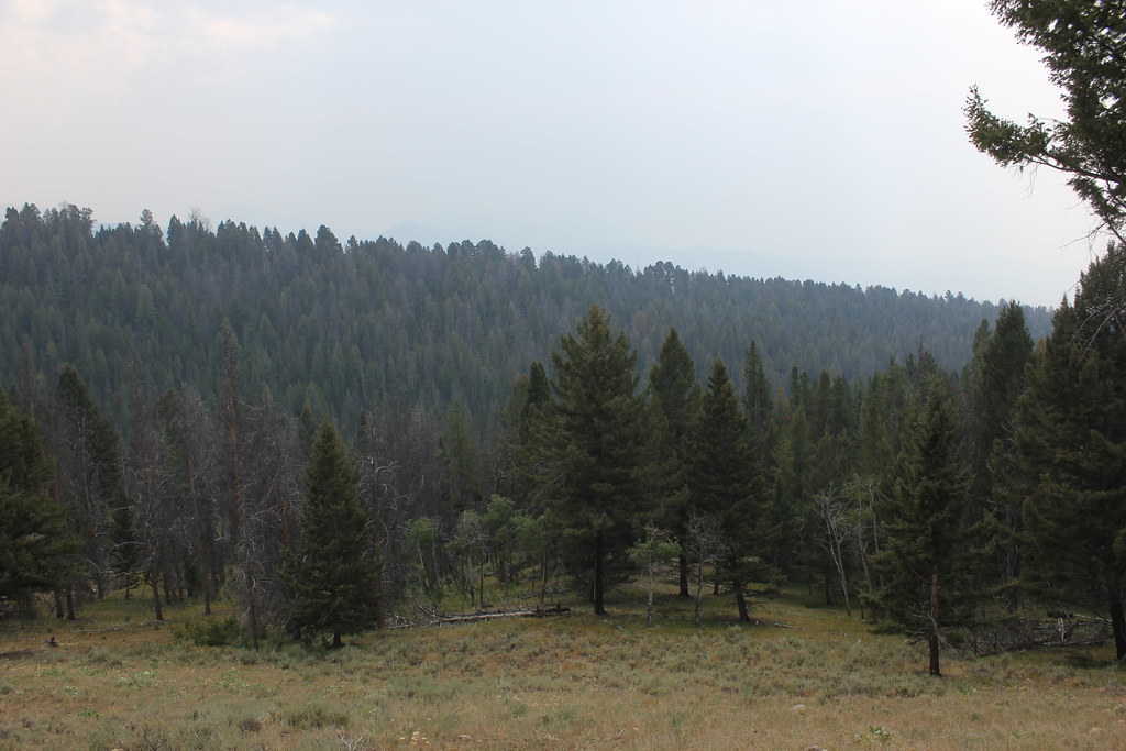 BLUE CREEKHiking · ~20 min drivePhoto: TexasExplorer98, CC BY 2.0 (via Flickr)
 OLD HOT SRPINGS TRAILHiking · ~22 min drivePhoto: TexasExplorer98, CC BY 2.0 (via Flickr)
 Brownes LakeHiking · ~28 min drivePhoto: TexasExplorer98, CC BY 2.0 (via Flickr)
- Crystal TrailHiking · ~24 min drive
- LITTLE LAKEHiking · ~18 min drive
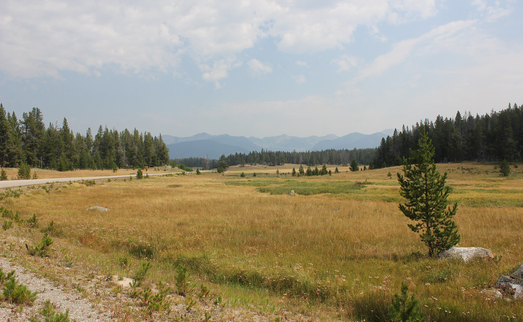 HARRISON PARK TRAILHiking · ~23 min drivePhoto: TexasExplorer98, CC BY 2.0 (via Flickr)
- HUNTER CREEKHiking · ~8 min drive
- KELLY LAKEHiking · ~24 min drive
- WARM SPRINGS CREEKHiking · ~20 min drive
- BULL CREEKHiking · ~8 min drive
Best time to visit BEAR LAKE
Best months: June–September. Best months have typical highs of 55–85 °F, lows of 30 °F or warmer (32 °F where the station doesn't record snow), at most one snowy day and no more than 12 wet days.
Jan
28° / 8°
6 wet
Feb
31° / 8°
6 wet
Mar
39° / 16°
8 wet
Apr
46° / 23°
9 wet
May
57° / 31°
10 wet
Jun
66° / 37°
9 wet
Jul
77° / 42°
6 wet
Aug
76° / 39°
5 wet
Sep
66° / 32°
4 wet
Oct
51° / 25°
5 wet
Nov
36° / 14°
7 wet
Dec
27° / 7°
7 wet
Typical high / low (°F) and days with rain or snow, 1991–2020. Measured at Jackson, MT, 3.4 mi away at 6,480 ft. The station sits about 1,200 ft lower than this place, so expect it a little cooler here. This station doesn't record snowfall. Source: NOAA NCEI U.S. Climate Normals 1991–2020.
