Loading…

Free — you'll pick up right here.
Watch this trail
Sign up to watch it — saving subscribes you to gate, closure and report changes.
Montana
12.3 mi
Distance
4,190 ft
Gain
6h 13m
Time
Agency alerts are in effect for this area; weather is good
2 factors · 2 sources
Newest 23 h ago · oldest 9 d
caution: Agency alerts
8 active alerts in Lolo National Forest; most severe: Deer Creek Road and Snowmobile Trail Closure
USFS9 d ago
clear: Weather
Clear, high 68°F / low 47°F, 0% precip — 100/100 for hike
OpenWeather23 h ago
Been out here in the last few days? One report keeps this current for everyone.
Why you'll love it
Bay State Creek
AI-suggested draft · review before you go
No permit or access details on file for this trail — check with the local land manager before you go.
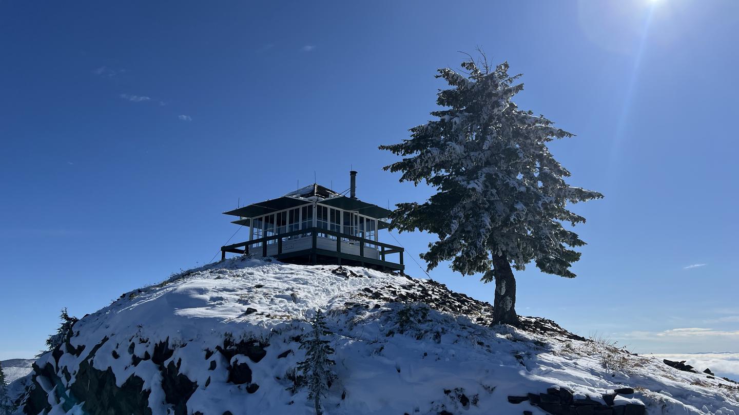
Bay State Creek is a challenging 12.35-mile backcountry trek gaining over 4,190 feet through Montana's rugged terrain. This hard-difficulty trail rewards experienced hikers with extended alpine exposure and creek drainage scenery typical of the region's high country. The sustained elevation gain and distance make this an excellent conditioning hike for those seeking solitude in Montana's wilderness.
Sundance Ridge
~3 min drive
Expert alpine ridge traverse with 4,898 ft gain over 28.76 miles.
Goat Lakes
~9 min drive
Moderate alpine lake hike with 1,477 ft gain and scenic subalpine views.
Arrowhead Lake
~9 min drive
Easy alpine lake hike with minimal elevation gain near Arrowhead Lake.
Honeymoon Creek
~5 min drive
Moderate 9.13-mile creek-side hike with 3,263 ft elevation gain.
South Fork Four Lakes Creek
~11 min drive
Moderate 5.5-mile alpine trail with 1,634 ft elevation gain near Four Lakes Creek.
Upper Graves Creek
~14 min drive
Short, steady climb through Graves Creek drainage with forest views.
Todd Springs
~10 min drive
Moderate 7.8-mile hike with 1,628 ft gain to Todd Springs.
Cabin Lake
~11 min drive
Moderate alpine lake hike with 1,257 ft gain near Cabin Lake, Montana.
Outlaw Lake
~14 min drive
Easy 2.46-mile hike to a scenic alpine lake in Montana.
Eddy Ridge
~15 min drive
Scenic ridge hike with steady climbing and panoramic Montana views.